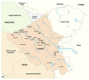
Vector map of Indian Union Territory of Ladakh, India

Sunrise over Nanga Parbat, Mountain landscape Vector illustration.
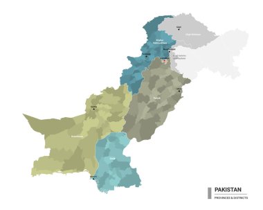
Pakistan higt detailed map with subdivisions. Administrative map of Pakistan with districts and cities name, colored by states and administrative districts. Vector illustration.

Administrative map of the Islamic Republic of Pakistan
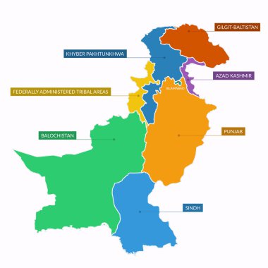
Pakistan map divided into provinces and territories

Map of Kashmir is a geographical region of the Indian subcontinent
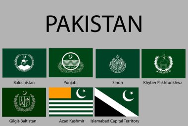
All Flags of regions of Pakistan. Vector illustraion

Map about the division of Jammu and Kashmir

Nanga Parbat is the ninth highest mountain in the world - climbing, trekking, hiking, mountaineering and other extreme activities template, vector

Map about the division of Jammu and Kashmir
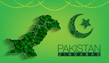
Pakistan map with moon and star on green background with the text of Pakistan Zindaband, Pakistani Flag with abstracts in vector design

Map of Kashmir is a geographical region of the Indian subcontinent

Vector map of the territorial tenure of Kashmir

Map of Kashmir is a geographical region of the Indian subcontinent

Map of Kashmir is a geographical region of the Indian subcontinent

Map of Kashmir is a geographical region of the Indian subcontinent