Map of Romania vector

Romania region map: grey outline on white background. Detailed map of Romania regions. Vector illustration.

Political map of Balkans - States of Balkan Peninsula. Four shades of grey vector illustration.

Southeast Europe Region. Map of countries of Balkan Peninsula. Vector illustration.

Southeast Europe Region. Map of countries of Balkan Peninsula. Vector illustration.

Southeast Europe Region. Map of countries of Balkan Peninsula. Vector illustration.

Grey Europe map with country outline graphic vector

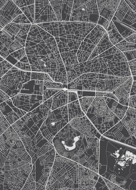
Bucharest city plan, detailed vector map

Vector illustrations of Europe map with grey countries and white borders

28 NATO member countries highlighted by blue in blank world political map

Europe detailed map and icons. D.I.Y.infographic set.All elements are separated in editable layers clearly labeled. All layers are subscribed.

North Atlantic Treaty Organization, NATO, member countries map. 29 member states since June 2017.

Europe and European Union map with indication of Romania

Map of European Union with the indication of Romania

Administrative counties of Romania. Vector map with labels.

European Union map with indication of Romania

Map of Romania

Accurate map of Romania

Grey map of Romania

The Romania isolated map divided in counties

Administrative counties of Romania. Vector map with labels.

Bucovina Romania Map grey vector

Magnifier with map of Romania on abstract topographic background.

Romania regions Map grey

Slovakia Map - Vector Infographic Set. Vector illustration

Vector dotted polka dot map of Romania isolated on white background

Vector dotted map of Romania isolated on white background . Travel vector illustration

Vector pixel map of Romania isolated on white background . Travel vector illustration

Romania political map of administrative divisions - counties and autonomous municipality of Bucharest. Grey blank vector editable map EPS.