10 FREE IMAGES of ShutterstockTry Shutterstock and Get 10 Free Images

guyana map SVG, Vector And Clipart Images

() guyana map SVG Vectors and Transparent background guyana map ClipArts. All Download the royalty free graphic in the form of SVG, PNG, EPS, AI or PSD.

Description:

Usage ideas:

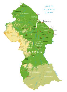
Guyana-highly detailed physical map clipart svg vector

Guyana-highly detailed physical map
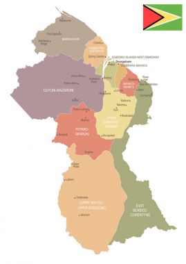
Guyana - vintage map and flag - High Detailed Vector Illustration clipart svg vector
Guyana - vintage map and flag - High Detailed Vector Illustration

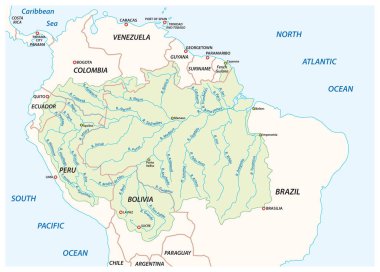
Vector map of the Amazon River drainage basin clipart svg vector

Vector map of the Amazon River drainage basin

South American country set with map pointers clipart svg vector

South American country set with map pointers

3D Map outline of Guyana, a green field with the black red triangle and white golden triangle, also based on the hoist-side, text Guyana. clipart svg vector

3D Map outline of Guyana, a green field with the black red triangle and white golden triangle, also based on the hoist-side, text Guyana.

Guyana vector map. Editable template with regions, cities, red pins and blue surface on white background. clipart svg vector

Guyana vector map. Editable template with regions, cities, red pins and blue surface on white background.

Location of Guyana on the South America continent clipart svg vector
Location of Guyana on the South America continent

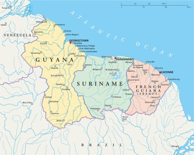
Political map of Guyana, Suriname and French Guiana with capitals Georgetown, Paramaribo and Cayenne, with national borders, most important cities, rivers and lakes. Vector illustration with English labeling and scaling. clipart svg vector

Political map of Guyana, Suriname and French Guiana with capitals Georgetown, Paramaribo and Cayenne, with national borders, most important cities, rivers and lakes. Vector illustration with English labeling and scaling.

Association of the Caribbean States map clipart svg vector

Association of the Caribbean States map

French Guiana blank detailed outline map set - vector version clipart svg vector

French Guiana blank detailed outline map set - vector version

South America map with flags, South America map colored in with their flag. Vector Illustration. clipart svg vector

South America map with flags, South America map colored in with their flag. Vector Illustration.

Stylized map of Guyana. Isometric 3D green map with cities, borders, capital Georgetown, regions. Vector illustration. Editable layers clearly labeled. English language clipart svg vector

Stylized map of Guyana. Isometric 3D green map with cities, borders, capital Georgetown, regions. Vector illustration. Editable layers clearly labeled. English language

Guyana country map polygonal with spot lights places clipart svg vector

Guyana country map polygonal with spot lights places

Browser window with map of Guyana, searching  Guyana in internet. clipart svg vector

Browser window with map of Guyana, searching Guyana in internet.

Map of the Co-operative Republic of Guyana with the regions colored in bright colors and the main cities clipart svg vector

Map of the Co-operative Republic of Guyana with the regions colored in bright colors and the main cities

South American country set with map pointers clipart svg vector

South American country set with map pointers

South American country set with map pointers clipart svg vector

South American country set with map pointers

Black Guyana map on light grey background. Black Guyana map - vector illustration. clipart svg vector

Black Guyana map on light grey background. Black Guyana map - vector illustration.

Administrative divisions of Guyana clipart svg vector

Administrative divisions of Guyana

Administrative divisions of Guyana clipart svg vector

Administrative divisions of Guyana

Administrative divisions of Guyana clipart svg vector

Administrative divisions of Guyana

Administrative divisions of Guyana clipart svg vector

Administrative divisions of Guyana

Guyana Location Highlighted on American Map with Flag Icon. clipart svg vector

Guyana Location Highlighted on American Map with Flag Icon.

Isometric Map of Guyana. Simple 3D Map. Vector Illustration - EPS 10 Vector clipart svg vector

Isometric Map of Guyana. Simple 3D Map. Vector Illustration - EPS 10 Vector

Guyana map and flag in vintage rubber stamp of state colours. Grungy travel stamp with map and flag of Guyana. Country map and flag vector illustration. clipart svg vector

Guyana map and flag in vintage rubber stamp of state colours. Grungy travel stamp with map and flag of Guyana. Country map and flag vector illustration.

Guyana flag and map set. guyana flag in official colors and proportions. independence day 26 may, map, circle and heart shaped guyana clipart svg vector

Guyana flag and map set. guyana flag in official colors and proportions. independence day 26 may, map, circle and heart shaped guyana

Flag of guyana. Flag icon. Standard colors. Standard size. Rectangular flag. clipart svg vector

Flag of guyana. Flag icon. Standard colors. Standard size. Rectangular flag.

Set of isolated guyana maps. guyana flag overlaid with flag proportions. Maps and traveling around the world clipart svg vector

Set of isolated guyana maps. guyana flag overlaid with flag proportions. Maps and traveling around the world

Guyana Map Pin with National Flag on Open World Map. clipart svg vector

Guyana Map Pin with National Flag on Open World Map.

Guyana map in modern style with flag of Guyana on left side. clipart svg vector
Guyana map in modern style with flag of Guyana on left side.

Guyana country black outline silhouettes in three different levels of smoothness. Simplified maps. Vector icons isolated on white background. clipart svg vector

Guyana country black outline silhouettes in three different levels of smoothness. Simplified maps. Vector icons isolated on white background.

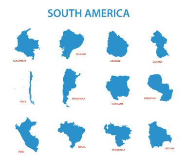
South america - vector maps of countries clipart svg vector
South america - vector maps of countries

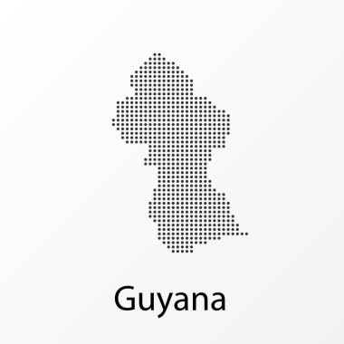
Vector illustration of a geographical map of Guyana with dots clipart svg vector
Vector illustration of a geographical map of Guyana with dots

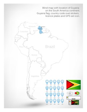
Blind map with location of Guyana on the South America continent.Guyana flag, country code oval stickers, licence plates and GPS set icon. clipart svg vector

Blind map with location of Guyana on the South America continent.Guyana flag, country code oval stickers, licence plates and GPS set icon.
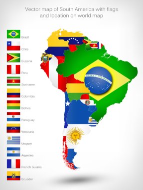
Vector map of South America with flags and location on world map clipart svg vector

Vector map of South America with flags and location on world map

South America map. hand drawn illustration. clipart svg vector

South America map. hand drawn illustration.

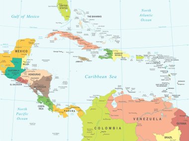
Central America map - highly detailed vector illustration. Image contains land contours, country and land names, city names, water object names, navigation icons. clipart svg vector

Central America map - highly detailed vector illustration. Image contains land contours, country and land names, city names, water object names, navigation icons.

Blue-gray detailed map of Venezuela administrative divisions and location on the globe. Vector illustration clipart svg vector

Blue-gray detailed map of Venezuela administrative divisions and location on the globe. Vector illustration

Map of South America. Political division - countries and capital ciites. Countries are separate objects, you can change color of every country. clipart svg vector

Map of South America. Political division - countries and capital ciites. Countries are separate objects, you can change color of every country.

Hand drawn vector map of South America with flags. Elements different layers. Perfect for infographics. Includes Brazil, Argentina, Chile, Paraguay, Uruguay, Colombia, Venezuela, Peru, Ecuador. clipart svg vector

Hand drawn vector map of South America with flags. Elements different layers. Perfect for infographics. Includes Brazil, Argentina, Chile, Paraguay, Uruguay, Colombia, Venezuela, Peru, Ecuador.

South america country vector image clipart svg vector

South america country vector image

Road vector map of the brazilian state amazonas clipart svg vector

Road vector map of the brazilian state amazonas

Illustration of a gray South america map on white background clipart svg vector
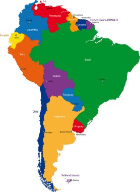
Illustration of a gray South america map on white background

Colorful South America map with countries and capital cities clipart svg vector
Colorful South America map with countries and capital cities

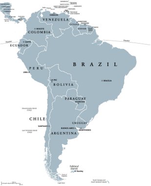
South America, gray political map with international borders and capitals. A continent, bordered by the Pacific and Atlantic Ocean, North America and the Caribbean Sea. Isolated illustration. Vector. clipart svg vector

South America, gray political map with international borders and capitals. A continent, bordered by the Pacific and Atlantic Ocean, North America and the Caribbean Sea. Isolated illustration. Vector.

South America political division map - vector illustration. clipart svg vector

South America political division map - vector illustration.

Map of south america. map concept south america vector sketch clipart svg vector

Map of south america. map concept south america vector sketch

Map of South America in high resolution. Vector illustration. clipart svg vector
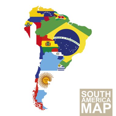
Map of South America in high resolution. Vector illustration.

South America map. Vector map of South America with flags. Vector Illustration. clipart svg vector

South America map. Vector map of South America with flags. Vector Illustration.

Blank political map of South America. Simple flat vector outline map. clipart svg vector
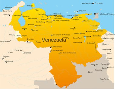
Blank political map of South America. Simple flat vector outline map.

South America map. Molecule structure stylized design. clipart svg vector

South America map. Molecule structure stylized design.

South America countries political map with national borders. Continent surrounded by Pacific and Atlantic Ocean. English labeling. Illustration. clipart svg vector

South America countries political map with national borders. Continent surrounded by Pacific and Atlantic Ocean. English labeling. Illustration.
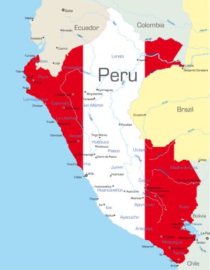
Abstract vector color map of Peru country colored by national flag clipart svg vector

Abstract vector color map of Peru country colored by national flag

Highly Detailed South America Blind Map With Capital Dots. clipart svg vector

Highly Detailed South America Blind Map With Capital Dots.

The illustration of South America map with country borders. Vector Image. clipart svg vector

The illustration of South America map with country borders. Vector Image.

Vector color map of South America clipart svg vector

Vector color map of South America

Abstract vector color map of Argentina country clipart svg vector

Abstract vector color map of Argentina country

Political map of South America. Vector illustration. clipart svg vector

Political map of South America. Vector illustration.

South American flag set in alphabetical order, with an editable map. clipart svg vector
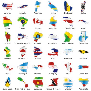
South American flag set in alphabetical order, with an editable map.

Vector editable isolated american flags in map shape with details clipart svg vector

Vector editable isolated american flags in map shape with details

Guyana network map. Abstract polygonal map design. Internet connections vector illustration. clipart svg vector

Guyana network map. Abstract polygonal map design. Internet connections vector illustration.

South America map. Molecule structure stylized design. clipart svg vector

South America map. Molecule structure stylized design.

Political map of South America. Simple flat vector map with country name labels in grey. clipart svg vector

Political map of South America. Simple flat vector map with country name labels in grey.

Highly Detailed South America Blind Map. clipart svg vector

Highly Detailed South America Blind Map.

Vector map of South America Continent with Countries, Capitals, Main Cities and Seas and islands names in brilliant colors. clipart svg vector

Vector map of South America Continent with Countries, Capitals, Main Cities and Seas and islands names in brilliant colors.

South America continent is divided by country on the Globe clipart svg vector
South America continent is divided by country on the Globe

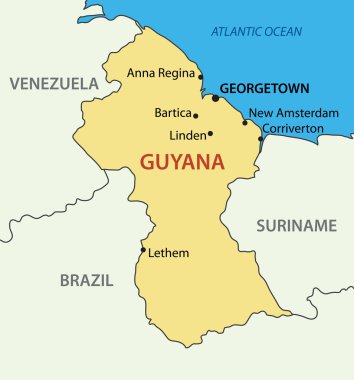
Co-operative Republic of Guyana - vector map clipart svg vector

Co-operative Republic of Guyana - vector map

Central America map - highly detailed vector illustration. clipart svg vector

Central America map - highly detailed vector illustration.

Vector high detailed map of South America. All layers detached and labeled. clipart svg vector

Vector high detailed map of South America. All layers detached and labeled.

Highly detailed physical map of the South America continent clipart svg vector

Highly detailed physical map of the South America continent

South America, multi colored political map with international borders and capitals. Continent, bordered by the Pacific and Atlantic Ocean, North America and the Caribbean Sea. Isolated illustration. clipart svg vector

South America, multi colored political map with international borders and capitals. Continent, bordered by the Pacific and Atlantic Ocean, North America and the Caribbean Sea. Isolated illustration.

Political map of South America with all countries and national borders. Blue outline illustration on white background and english scaling. clipart svg vector

Political map of South America with all countries and national borders. Blue outline illustration on white background and english scaling.
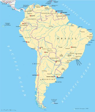
South America - highly detailed map. Vector illustration clipart svg vector

South America - highly detailed map. Vector illustration

Political map of South America with single states, capitals, most important cities, national borders, lakes and rivers. Vector illustration with English labeling and scaling. clipart svg vector

Political map of South America with single states, capitals, most important cities, national borders, lakes and rivers. Vector illustration with English labeling and scaling.

Central America map - highly detailed vector illustration. clipart svg vector

Central America map - highly detailed vector illustration.

South America map vector. country clipart svg vector
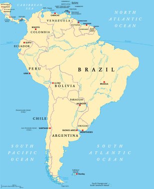
South America map vector. country

South America, political map with borders, capitals and the largest rivers. A continent, bordered by the Pacific and the Atlantic Ocean, by North America and the Caribbean Sea. Illustration. Vector. clipart svg vector

South America, political map with borders, capitals and the largest rivers. A continent, bordered by the Pacific and the Atlantic Ocean, by North America and the Caribbean Sea. Illustration. Vector.

Political map of American mainlands clipart svg vector

Political map of American mainlands

South America contoured map with highlighted Chile. Chile map and flag on South America map. Vector Illustration. clipart svg vector

South America contoured map with highlighted Chile. Chile map and flag on South America map. Vector Illustration.

Highly Detailed South America Political Map With Country And Capitals Name. clipart svg vector

Highly Detailed South America Political Map With Country And Capitals Name.

Political map of Americas in grey on white background. North and South America with country labels. Simple flat vector illustration. clipart svg vector

Political map of Americas in grey on white background. North and South America with country labels. Simple flat vector illustration.

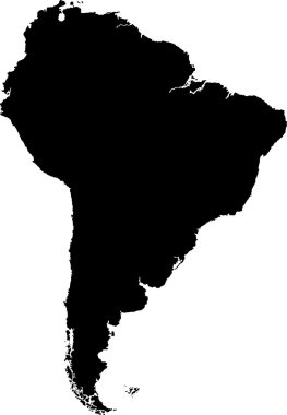
Black South America map without country borders clipart svg vector

Black South America map without country borders

The illustration of South America map with country borders. Vector Image. clipart svg vector
The illustration of South America map with country borders. Vector Image.

Colorful South America map with country borders clipart svg vector

Colorful South America map with country borders

South America map - highly detailed vector illustration. clipart svg vector

South America map - highly detailed vector illustration.

South America contoured map with highlighted Uruguay. Uruguay map and flag on South America map. Vector Illustration. clipart svg vector

South America contoured map with highlighted Uruguay. Uruguay map and flag on South America map. Vector Illustration.

Highly detailed physical map of South America,in vector format,with all the relief forms,countries and big cities. clipart svg vector

Highly detailed physical map of South America,in vector format,with all the relief forms,countries and big cities.

South America Highly Detailed Political Map.All elements are separated in editable layers clearly labeled. clipart svg vector

South America Highly Detailed Political Map.All elements are separated in editable layers clearly labeled.

The grayscale map of South America isolated on white background clipart svg vector

The grayscale map of South America isolated on white background

Central America map - highly detailed vector illustration. clipart svg vector

Central America map - highly detailed vector illustration.

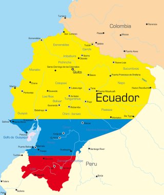
Abstract vector color map of Ecuador country colored by national flag clipart svg vector

Abstract vector color map of Ecuador country colored by national flag

South America political division map - vector illustration. clipart svg vector

South America political division map - vector illustration.

South America map with countries and capital cities clipart svg vector

South America map with countries and capital cities

South America political division map - vector illustration. clipart svg vector

South America political division map - vector illustration.

South America detailed continent political map with cartoon style flat flags and GPS icons. clipart svg vector

South America detailed continent political map with cartoon style flat flags and GPS icons.

Grey South America map with countries and capital cities clipart svg vector

Grey South America map with countries and capital cities

South America political map with each country selectable independent clipart svg vector

South America political map with each country selectable independent

South America map - highly detailed vector illustration. clipart svg vector

South America map - highly detailed vector illustration.

South America map - highly detailed vector illustration. clipart svg vector
South America map - highly detailed vector illustration.
Detailed map of the administrative division of Brazil clipart svg vector

Detailed map of the administrative division of Brazil