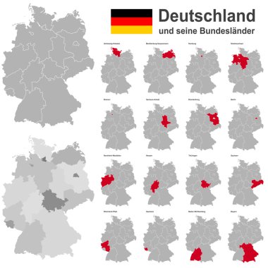
European country germany and the federal states
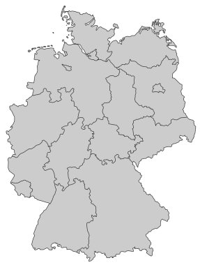
Germany Map - Provinces gray

Germany vector map infographic template
West european country germany and the federal states
West european country germany and the federal states

Germany map divided on West and East Germany with regions, card paper 3D natural vector

Germany map and flag idea design

West european country germany and the federal states
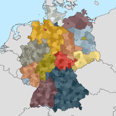
Colored map of Germany with neighboring countries
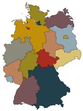
Map of germany with all provinces in different colors

Germany vector set. Isolated.
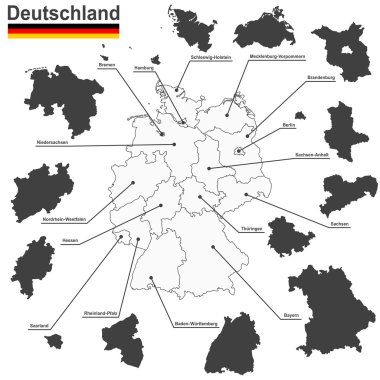
European country germany and the federal states

Location of Hamburg on map Federal Republic of Germany. 3d Hamburg location sign similar to the flag of Free and Hanseatic city of Hamburg. Map of Germany with regions. EPS10.

Federal Republic of Germany map outline and official flag icon over grunge background. vector German political map 3d illustration. European State geographic banner template. Deutschland
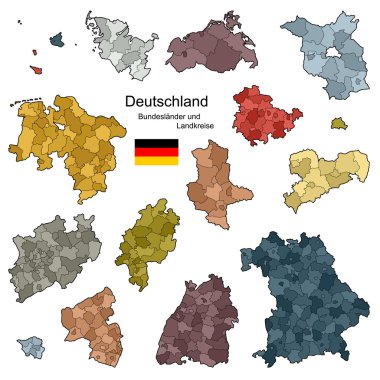
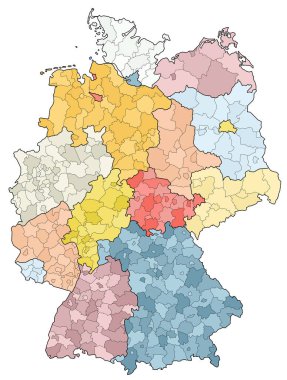
Provinces and districts of Germany

Germany map line contour vector illustration isolated on white.

Illustration of food infographics, with food icons, vector illustration

Germany map and flag idea design

Flag of Germany from brush strokes and Blank map Germany. High quality map Federal Republic of Germany on transparent background. Stock vector. Vector illustration EPS10.

Germany map and flag idea design
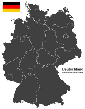
European country germany and the federal states

Germany map shape vector infographics template. Modern city region data statistic illustration concep

Vector illustration of a map of Europe with highlighted Germany and German flag isolated on a white background
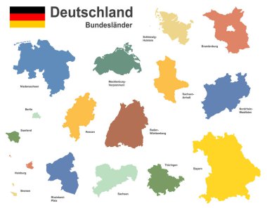
West european country germany and the federal states

Germany map and flag idea design

Bremen, Hamburg, Hessen, Mecklenburg-Vorpommern outline maps