
Location of Limburg on map Belgium. 3d location sign similar to the flag of Limburg. Quality map with provinces of Belgium for your design. EPS10.
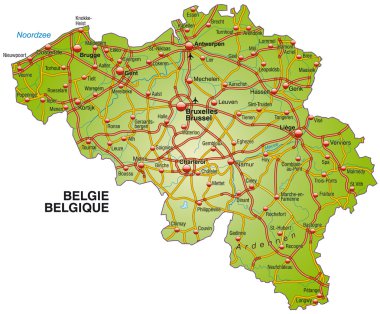
Map of Belgium with highways
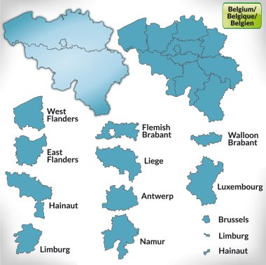
Map of Belgium with borders in blue
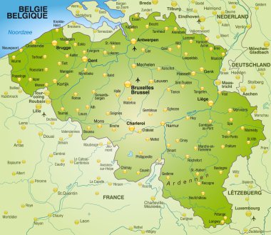
Map of Belgium as an overview map in green

Map of Belgium with highways in pastel orange

Urban vector city map of Hasselt, Belgium
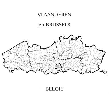
This vector map of the Belgian Regions of Flanders and Brussels capital includes 5 editable layers for each of the 4 administrative levels (municipalities, districts, provinces, and regions) and the background

Map of Belgium with major cities: Brussels, Bruges, Antwerp, Liege and others

Map of Belgium as an overview map in pastel green
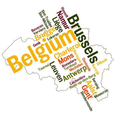
Belgium map and words cloud with larger cities
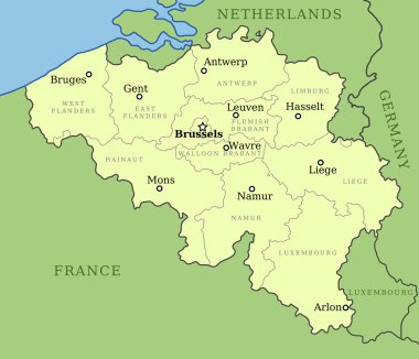
Belgium map with administrative division into provinces. Brussels is the capital city, other cities are capitals of provinces.

Flag of Belgium and EU. vector illustration

Map of Belgium with borders in violet

Limburg of Belgium map symbol, travel web flat concept icon vector illustration .

Urban vector city map of Hasselt, Belgium

Map of Belgium as an overview map in green

Map of Belgium as sticky note in blue

Urban vector city map of Hasselt, Belgium

Map of Belgium as an overview map in gray

Belgium Political Map with capital Brussels, national borders, most important cities and rivers. English labeling and scaling. Illustration.

Map of Belgium with highways in pastel orange

Map of Belgium with highways
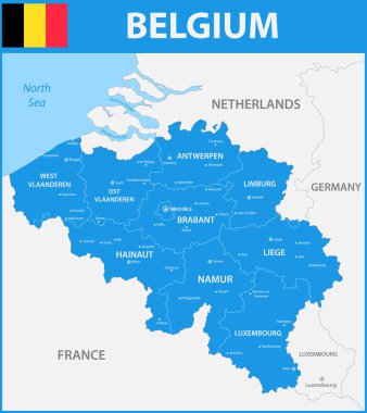
The detailed map of the Belgium with regions or states and cities, capitals.