
Germany vector map with flag, globe and icons on white background

Map of Hesse with borders in gray

Map of Hesse with borders in blue

Vector set of Germany map with state capitals cities skylines. All layers are labelled and well organized

Hesse outline map set - vector version
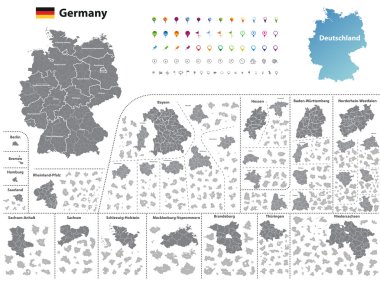
Federal states of Germany map with administrative districts and subdivisions

Map of Hesse with borders in gray

Map of Hesse as an overview map with hight layers

Bembel Apple Wine Hessian

Advertising board HANAU - signboard - ad sign - yellow billboard against white background

Abbey, Lorsch, Germany line icon, vector illustration. Abbey, Lorsch, Germany flat concept sign.

Advertising board FRANKFURT - signboard - ad sign - yellow billboard against white background
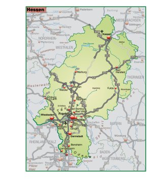
Bundesland Hessen als Umgebungskarte in gruen
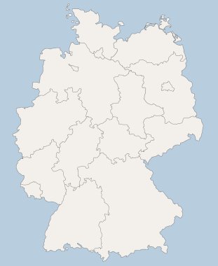
Vector map of Germany each division can be edited
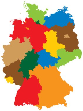
Germany divided into 16 states
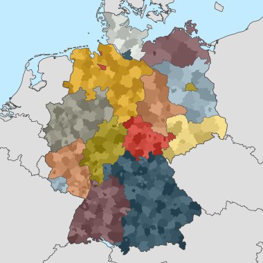
Colored map of Germany with neighboring countries

Edera helix 'Digitata Hesse' finger-leaved ivy from the RHS. These plant leaves are like a star-fish, vintage line drawing or engraving illustration.

Germany state capitals black and white vector detailed skylines.

Political map of Germany with all states

Printable map of Fulda, Germany with main and secondary roads and larger railways. This map is carefully designed for routing and placing individual data.

Frankfurt skyline, Blue Series, Hand-drawn Vector Artwork

Traditional Apple Wine Bembel

City and flag of Hesse
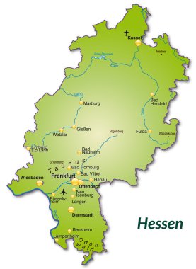
Map of Hesse as an overview map in green

Map of Germany

The detailed map of the Germany with regions or states and cities, capitals, national flag
Map of Hesse as sticky note in blue
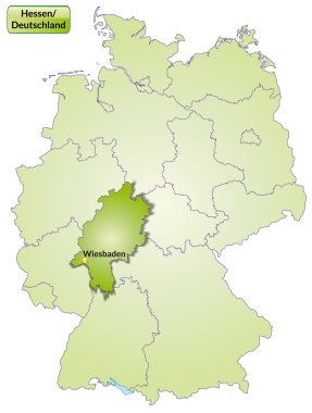
Map of Hesse with main cities in green
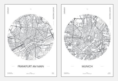
Travel poster, urban street plan city map Frankfurt am Main and Munich, vector illustration
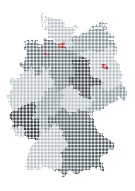
German map raster, the counties or states are grouped

The detailed map of the Germany with regions or states and cities, capitals
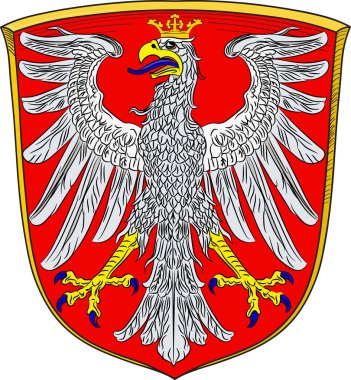
Coat of arms of Frankfurt am Main is a metropolis and the largest city in Germany. Vector illustration from the "Heraldry of the World" authors and compilers Olga Bortnik, Ivan Rezko, 2008

Germany map
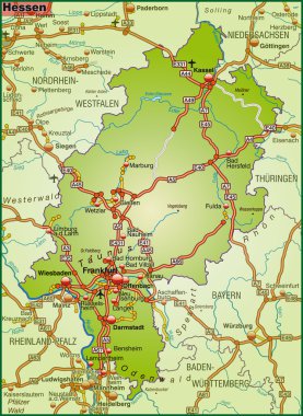
Map of Hesse with highways
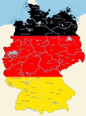
Map of Germany with main cities in black, red, gold
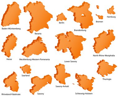
German States Icons
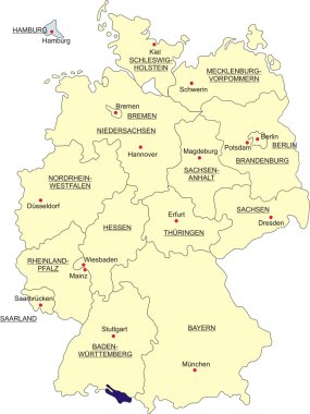
Map of Germany, national boundaries and national capitals. State of Hamburg cut out and separated
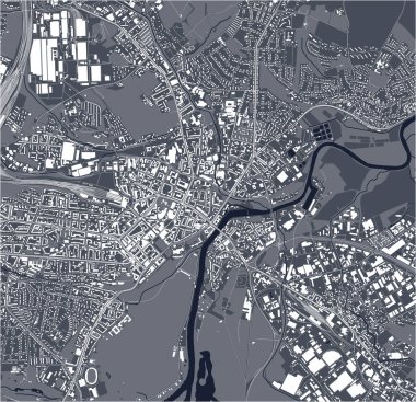
Vector map of the city of Kassel, Germany

Map of Hesse in Germany
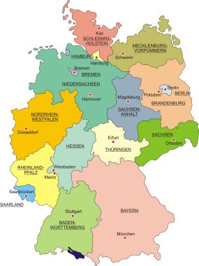
Map of Germany with national boundaries and national capitals

Vector map of German states with cites (EN) on white background. A small scale contour map of Germany projected in WGS 84 World Mercator made with Natural Earth free data (public domain). All elements are separated in editable layers clearly labeled.

Germany travel landmarks vector icons, German cities buildings of Bavaria and Hessen. Germany landmarks of Forchheim rathaus, Oppenheim Gautor monument, Wetzlar cathedral and Limburg old bridge

Germany map line, linear thin vector. Germany simple map and flag.

Frankfurt am Main administrative and political vector map with flag

Map of Waldeck-Frankenberg as sticky note in blue

Map of Marburg-Biedenkopf in Christmas Design in blue
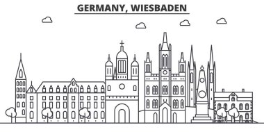
Germany, Wiesbaden architecture line skyline illustration. Linear vector cityscape with famous landmarks, city sights, design icons. Editable strokes

Darmstadt, Germany printable street map in classic style colors with all relevant motorways, roads and railways. Use this map for any kind of digital info graphics and print publication.

Vector map of the city of Frankfurt am Main, Hesse, Germany

Vector illustration of Wiesbaden city skyline on colorful gradient beautiful day sky background with flag of Germany

Flag of Marburg-Biedenkopf is a district in the west of Hesse, Germany. Vector illustration
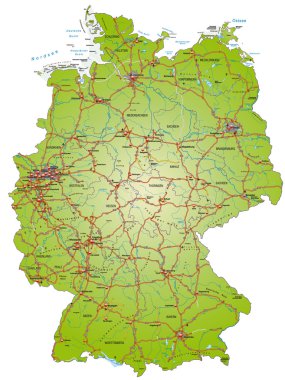
Map of Germany with highways and main cities

Map of darmstadt with borders in bronze
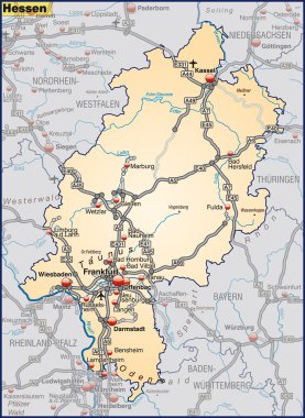
Map of Hesse with highways in pastel orange

Vector map of the city of Frankfurt am Main, Hesse, Germany

Detailed map of the Germany with cities

Frankfurt skyline in orange background in editable vector file

Map of Hesse

Flag of Hesse waving in the wind on silk background, State Germany
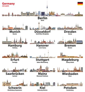
Germany state capitals cities skylines. Vector detailed illustration

Germany landmarks architecture in Hesse, vector icons of churches and town halls. German travel buildings of Weinhaus and Walpurgiskirche church, Stumpfhaus in Alsfeld, Hochzeithaus and Rathaus

3d vector map of Germany each division can be edited

Germany map, new political detailed map, separate individual regions, with state names, isolated on white background 3D vector

Vector poster of Frankfurt am Main city skyline on colorful gradient beautiful day sky background with flag of Germany
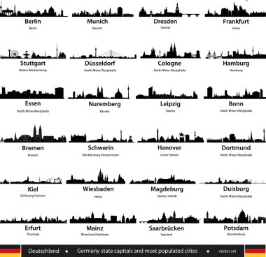
Germany cities
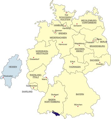
Map of Germany, national boundaries and national capitals. State of Hesse cut out and separated
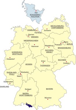
Map of Germany, national boundaries and national capitals. State of Schleswig-Holstein cut out and separated

Colorful Frankfurt Skyline Sketch. Hand Drawn Vector Illustration, Paint Splatter Color Isolated on White Background. Business Travel and Tourism Concept with Modern Architecture.

Frankfurt, Germany printable street map in classic style colors with all relevant motorways, roads and railways. Use this map for any kind of digital info graphics and print publication.
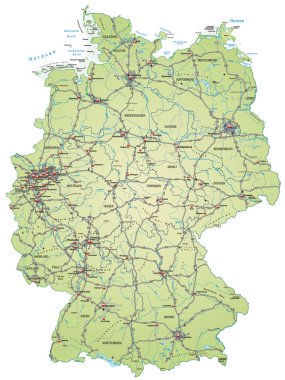
Map of Germany with highways and main cities in green
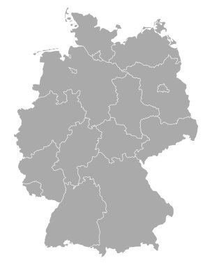
Map of Germany

Abraxas strange gnostic deity

Hessen state (Germany) outline map set

Hesse administrative and political vector map with flag in german language

Map of darmstadt as sticky note in blue
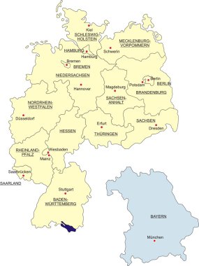
Map of Germany, national boundaries and national capitals. State of Bavaria cut out and separated
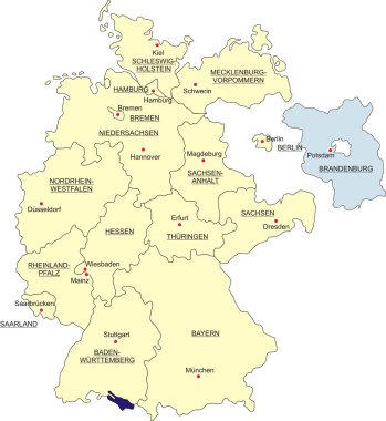
Map of Germany, national boundaries and national capitals. State of Brandenburg cut out and separated
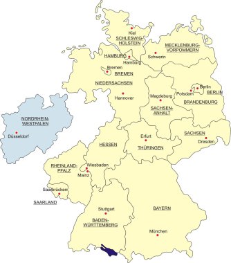
Map of Germany, national boundaries and national capitals. State of North Rhine-Westphalia cut out and separated

Vector map of German states with cites on white background. A small scale contour map of Germany projected in WGS 84 World Mercator made with Natural Earth free data (public domain). All elements are separated in editable layers clearly labeled.

Map and flag of Germany

Map of Germany

German map with provinces and flag in the background
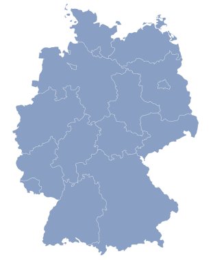
Vector map of Germany each division can be edited

Map of Hesse with highways in green

Germany map with state capitals cities skylines vector illustration. All layers are labelled, editable and well organized

Map of Germany

Map with Dot Pattern on flag button of Hesse, German

Map of Hesse in Christmas Design

Map of Germany, national boundaries and national capitals. State of Berlin cut out and separated
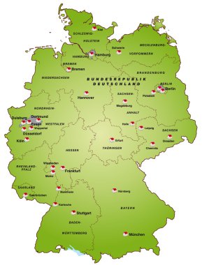
Map of germany in green

Vector administrative map of Federal Republic of Germany with the flags of the federal states

Map Germany

Gray Germany map with regions isolated on white background

Frankfurt am Main Airport logo. Airport stamp vector illustration. Frankfurt-am-Main aerodrome.

Flag of Indonesia. Metal Round Icons. This is File from the Collection Asian Flags

Map of Germany

Map of Hesse with borders in green

Vector map of the city of Frankfurt am Main, Hesse, Germany

Flag of Kassel is a city located on the Fulda River in northern Hesse, Germany. Vector illustrator

Map of Germany