
Hesse outline map set - vector version

Hessen state (Germany) outline map set

Bremen, Hamburg, Hessen, Mecklenburg-Vorpommern outline maps
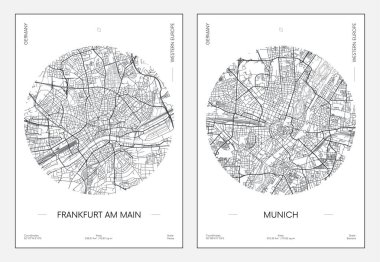
Travel poster, urban street plan city map Frankfurt am Main and Munich, vector illustration

Germany map line, linear thin vector. Germany simple map and flag.

Administrative and political vector map of Germany, newly revised 2019

Map of germany with all cities over one hundred thousand inhabitants in german language

Hesse, Hessen state map, Germany, vector map silhouette illustration isolated on Germany map. Editable blank vector map. Province in Germany.
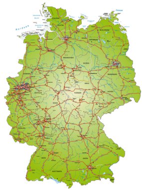
Map of Germany with highways and main cities

German map with provinces and flag in the background

Printable map of Fulda, Germany with main and secondary roads and larger railways. This map is carefully designed for routing and placing individual data.

Printable map of Frankfurt am Main, Germany with main and secondary roads and larger railways. This map is carefully designed for routing and placing individual data.

Frankfurt Vector Map, Artprint. Black Landmass, White Water and Roads.
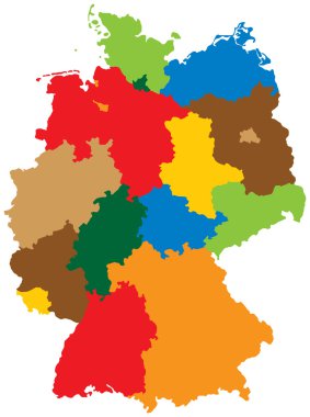
Germany divided into 16 states
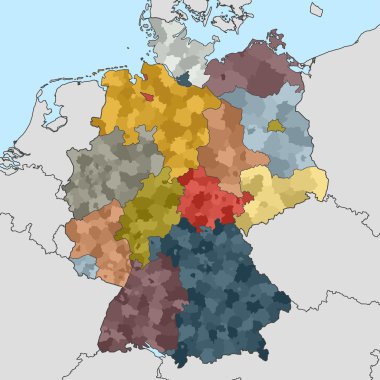
Colored map of Germany with neighboring countries
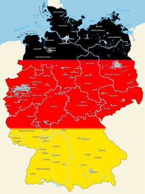
Map of Germany with main cities in black, red, gold
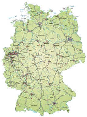
Map of Germany with highways and main cities in green

Frankfurt am Main administrative and political vector map with flag

Vector map of German states with cites (DE) on white background. A small scale contour map of Germany projected in WGS 84 World Mercator made with Natural Earth free data (public domain). All elements are separated in editable layers clearly labeled.

Vector map of German states on white background. A small scale contour map of Germany projected in WGS 84 World Mercator made with Natural Earth free data (public domain). All elements are separated in editable layers clearly labeled.

Vector map of German states with cites on white background. A small scale contour map of Germany projected in WGS 84 World Mercator made with Natural Earth free data (public domain). All elements are separated in editable layers clearly labeled.

Vector map of German states with cites (EN) on white background. A small scale contour map of Germany projected in WGS 84 World Mercator made with Natural Earth free data (public domain). All elements are separated in editable layers clearly labeled.
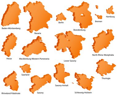
German States Icons

Vector map of the Rhine-Main Metropolitan Region, Germany
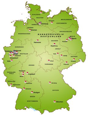
Map of germany in green

Hesse administrative and political vector map with flag in german language