
Haiti blank detailed outline map set

Haiti blank detailed outline map set - vector version

Dominican Republic blank detailed outline map set
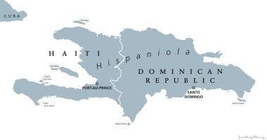
Hispaniola political map, also San Domingo. Haiti and Dominican Republic with capitals Port-au-Prince and Santo Domingo, in the Caribbean island group. Gray illustration with English labeling. Vector.
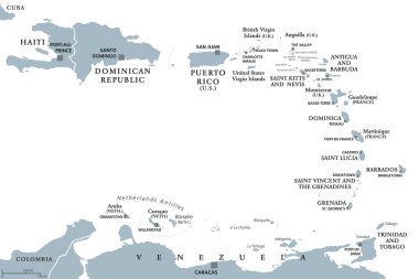
Lesser Antilles political map. Caribbees with Haiti, Dominican Republic and Puerto Rico in the Caribbean Sea. Gray illustration with English labeling on white background. Vector.

Location of Dominican Republic on the Caribbean

Dominican Republic map with provinces and capital cities
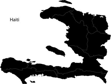
Black Haiti map separated on the departments

Greater Antilles political vector map with English labeling
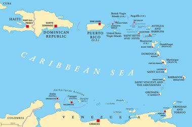
Lesser Antilles political map. The Caribbees with Haiti, the Dominican Republic and Puerto Rico in the Caribbean Sea. With capitals and national borders. English labeling. Illustration. Vector.

Dominican Republic blue marked in the map of Caribbean. Vector illustration.
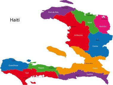
Map of the Republic of Haiti with the departments colored in bright colors

Lesser Antilles of the Caribbean, multicolored political map. Group of islands between Greater Antilles and South America. Divided into the Leeward Islands, Windward Islands, and the Leeward Antilles.
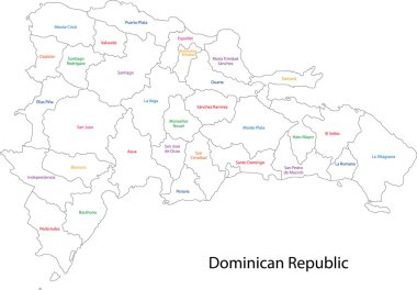
Outline Dominican Republic map with provinces
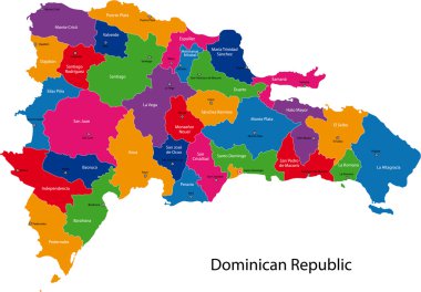
Map of Dominican Republic with the provinces colored in bright colors

Political map of Carribean. Pink highlighted states and dependent territories. Simple flat vector illustration.
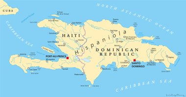
Hispaniola Political Map with Haiti and Dominican Republic, located in the Caribbean island group, the Greater Antilles. With capitals, national borders, important cities, rivers and lakes. English labeling and scaling. Illustration.

Vector map of the Caribbean island country of Haiti

Dominican Republic Political Map with capital Santo Domingo, with national borders, important cities, rivers and lakes. English labeling and scaling. Illustration.

Hispaniola and surroundings, political map. Caribbean island, divided into Haiti and Dominican Republic, part of Greater Antilles, next to Cuba, The Bahamas, Puerto Rico, and Turks and Caicos Islands.

Symbolic Landfall of a strong typhoon in Haiti

Haiti Map. Haitian Country Map. Hayti Black and White National Nation Outline Geography Border Boundary Shape Territory Vector Illustration EPS Clipart

Detailed illustration of a map of Dominican Republic with flag, eps10 vector

Dominican Republic map in gray on a black background 3d
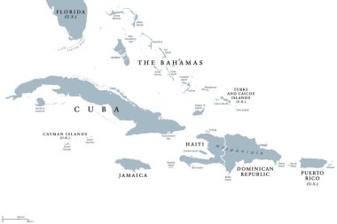
Greater Antilles political map with English labeling. Grouping of the larger islands in the Caribbean Sea with Cuba, Hispaniola, Puerto Rico, Jamaica and the Cayman Islands. Gray illustration. Vector.

Haiti map with flag inside and ribbon

Political map of Carribean. Blue highlighted states and dependent territories. Simple flat vector illustration.

Map of Dominican Republic with the provinces

Map of Dominican Republic with the provinces colored

Haiti map blackboard chalkboard vector
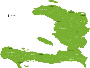
Haiti map with departments and capital cities

Map of the Republic of Haiti with the departments and cities

Location of Haiti on the Caribbean

Political map of Carribean. Gray lands on white background. Simple flat vector illustration.

Dominican Republic map flag glass card paper 3D vector

World map with magnified Dominican Republic. Dominican Republic flag and map.
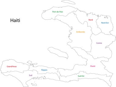
Outline Haiti map with departments

Dominican Republic - vector map

Map of hispaniola with abstract background in violet

Dominican Republic map card paper 3D natural vector

Haiti map card paper 3D natural vector

Haiti Political Map with capital Port-au-Prince, with national borders, important cities, rivers and lakes. English labeling and scaling. Illustration.

Republic of Haiti - vector map
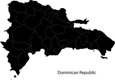
Black Dominican Republic map separated on the provinces

Detailed illustration of a ballotbox in front of a map of Dominican Republic, eps10 vector

Haiti Flag Set, Flag Set 120. Vector.
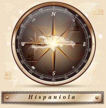
Map of hispaniola with borders in bronze
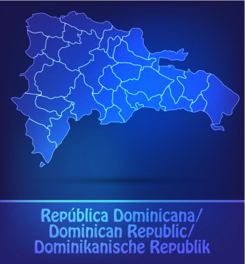
Map of Dominican Republic with borders as scrible

Map of Haiti with borders as scrible

Political map of Carribean. Orange highlighted states and dependent territories. Simple flat vector illustration.

Detailed Haiti Map Collection with Outline, Silhouette, Departments, and Flag Overlay Variations

Map of Dominican Republic with borders in violet

Political map of Carribean. Green highlighted sovereign states and orange dependent territories. Simple flat vector illustration.

Detailed Dominican Republic Map Collection with Outline, Silhouette, Provinces, and Flag Overlay Variations