
Map of Iceland with highways

Simple vector map of Iceland with shadow.

Regions of Iceland, gray political map, with capital Reykjavik. Eight regions and their seats, used for statistical purposes. Nordic island country in Atlantic Ocean. Isolated illustration. Vector.

Blank detailed contour maps of Iceland - vector version
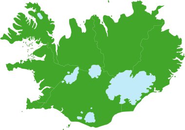
Map of administrative divisions of Republic of Iceland

Iceland map. Blank vector map of the Country with regions. Borders of Iceland for your infographic. Vector illustration.

Green silhouette map of Iceland. Isolated. Vector illustration

Iceland map card paper 3D natural vector
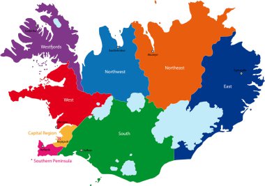
Map of administrative divisions of Republic of Iceland

Iceland silhouette regions map
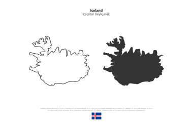
Republic of Iceland isolated map and official flag icons. vector Iceland political maps icon. Nordic Island Country geographic banner template. travel concept map over white background

Black Iceland map on light grey background. Black Iceland map - vector illustration.

Flag of ICELAND as a country with shadow

Iceland map with pictograms and icons of symptoms, Covid-19 and other respiratory diseases, vector illustration for infographics and posters

Three versions of the World Map with the enlarged map of Iceland with flag.

Illustrated map of Iceland. Vector cartography. Main tourist attractions made in vector.
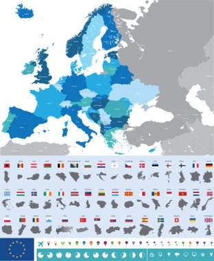
Vector high detailed map of Europe with flags

Iceland map and flag - High Detailed Vector Illustration

Iceland hand drawn cartoon map. Vector illustration with travel landmarks, animals and natural phenomena

Black abstract map of Iceland

Map of Iceland as an overview map in green
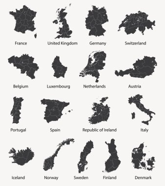
Vector set of european maps with region borders

Iceland map blackboard chalkboard vector

Scandinavia maps

Iceland map vector illustration, scribble sketch Iceland

Iceland map with shapes of regions. Blank vector map of the Country with regions. Borders of the country for your infographic. Vector illustration.

Iceland infographics, statistical data, Iceland information, vector illustration

Iceland high detailed map. Country silhouette icon. Isolated Iceland black map outline. Vector illustration.

Iceland Flag Map Ribbon And Heart Icons Vector Illustration Abstract Design Elements collection

A fun placemat for kids. Printable Travel to Iceland activity sheet with a labyrinth and find the differences. 17x11 inch printable vector file

Europe with highlighted Iceland map. Vector Illustration
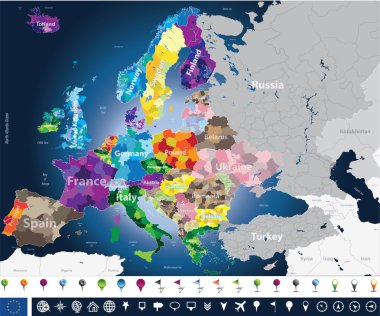
High detailed Europe map with coutries names and region borders
Europe vector political map silhouette
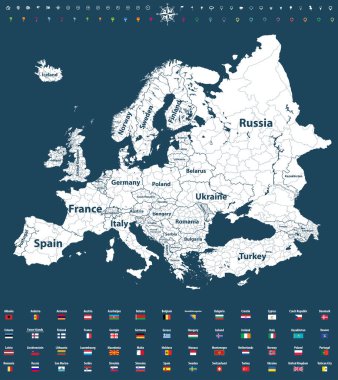
Europe vector high detailed political map with regions borders
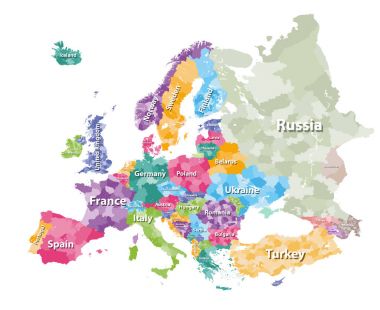
Colored political map of Europe with countries' regions. Vector illustration

High detailed colored political map of Europe with countries' regions. Vector
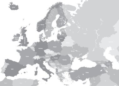
Europe high detailed vector political map. All elements separated in detachable and labeled layers
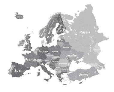
Europe vector high detailed political map with regions borders
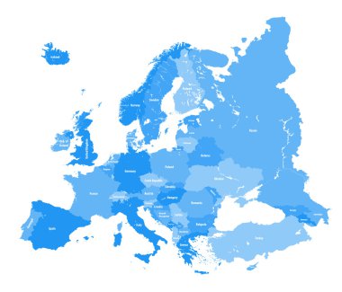
European political map. All layers detachable and labeled
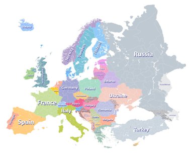
Europe vector high detailed political map with regions borders
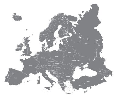
Vector European high detailed political map
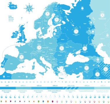
Europe time zones high detailed map with location and clock icons.
Europe vector high detailed political map with regions borders
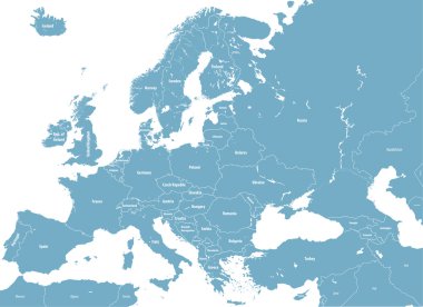
Europe high detailed political map. All elements detachable and labeled. Vector
High detailed silhouette of Europe map
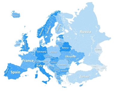
Europe vector high detailed political map with regions borders
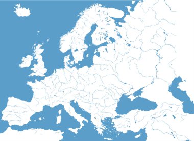
High detailed map of Europe main rivers

Europe high detailed vector political map with rivers.
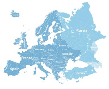
Europe vector high detailed political map with regions borders
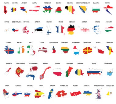
Europe country maps combinated vith flags

Europe time zones high detailed map with location and clock icons.
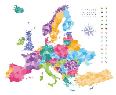
Europe map colored by countries with regions borders. Navigation, location and travel icons collection.

Iceland map with flag inside and ribbon

Print. Vectors Iceland map poster. Animals and sights of Iceland. Reykjavik

Iceland stamp

Iceland country map polygonal with spot lights places sample

Detailed Iceland map with detailed national borders, cities and towns. Vector illustration.
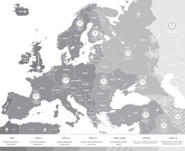
Europe time zones map in grey scales with location and clock icons. All layers detachable and labeled.Vector
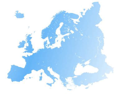
High detailed Europe map.

Map of Europe colored by countries with regions borders. Flags of all european countries. Navigation, location and travel icons. All elements separated in labeled and detached layers. Vector
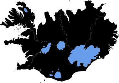
Map of administrative divisions of Republic of Iceland

Europe map colored by countries with regions borders. Navigation, location and travel icons collection. All elements separated in labeled and detachable layers. Vector
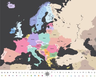
Europe high detailed vector political map with location\navigation icons.
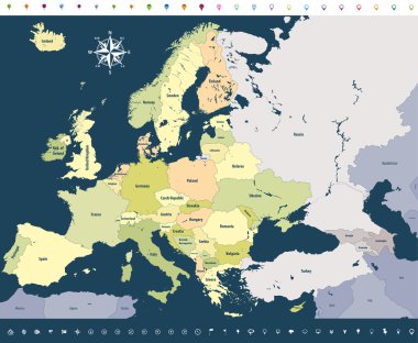
Vector Europe high detailed political map with location icons on soft dark blue background.

Iceland map with nodes linked by lines. concept of global communication and business. Dark iceland map created from white dots with travel locations or internet connection.

Iceland vector map with infographic elements, pointer marks. Editable template with regions, cities and capital Reykjavik.
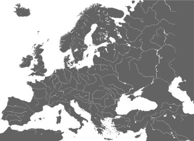
High detailed vector map of Europe main rivers

Conceptual illustration of a trip to Iceland with travel gear.

European map outline silhouette

Europe vector high detailed political map with regions borders

Map on transparent background. Vector illustration.
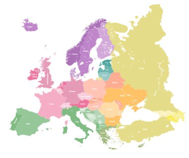
European colorful political map.

Iceland map | Vector detailed color Iceland map

Freeze Iceland Map. Vector geographic map in blue frosty colors. Vector pattern of Iceland Map designed of snow crystals.

Zoom on Iceland Map and Flag. World Map

Map of administrative divisions of Republic of Iceland

Outline map of Iceland filled with their flag

Map of iceland. map concept

Iceland - pencil scribble sketch silhouette map of country area with dropped shadow. Simple flat vector illustration.

Europe with highlighted Iceland map and flag

Iceland map icon. Business concept Iceland pictogram. Vector illustration on green background.

Pacific Centered World map with magnified Iceland. Flag and map of Iceland.

Map of Iceland and national flag in a circle. Iceland map contour with flag. Vector Illustration.

Set of isolated iceland maps. iceland flag overlaid with flag proportions. Maps and traveling around the world

White chalk texture retro stamp with Republic of Iceland map on a green blackboard. Grunge rubber seal with country outlines, vector illustration.

Isometric Map of Iceland. Simple 3D Map. Vector Illustration - EPS 10 Vector

Iceland Highlighted on Europe Map with Flag Icon.

Iceland Map Pin with National Flag on Open World Map.

Flag of iceland. Flag icon. Standard colors. Standard size. Rectangular flag.

Abstract Red Iceland Map with Cities

Iceland travel famous symbols and tourist sightseeing attraction landmarks set Vector icons

Detailed map of Europe

Iceland car license plate, letters, numbers and symbols, vector illustration

America centric world map with magnified Iceland map. Green polygonal world map.

Iceland is a Nordic island country in the North Atlantic

Iceland hand drawn cartoon map. Vector illustration with travel landmarks, animals and natural phenomena

Set of 9 isometric map and flag, 3D vector isometric shape of Haiti, Honduras, Hong Kong, Hungary, Iceland, India, Indonesia, Iran, Iraq

Illustration map of Iceland with landscape. Vector illustration

Iceland Landmark Global Travel And Journey paper background. Vector Design Template.used for your advertisement, book, banner, template, travel business or presentation

Colorful European countries political map with clearly labeled, separated layers. Vector illustration.