Kannauj District Vector Map of Uttar Pradesh, India

Saharanpur Division Highlighted in Uttar Pradesh State Map of India

Chitrakoot Division map of Uttar Pradesh State India

Highlighted yellow map of CAMBODIA inside white political map of Asia using orthographic projection on dark blue background

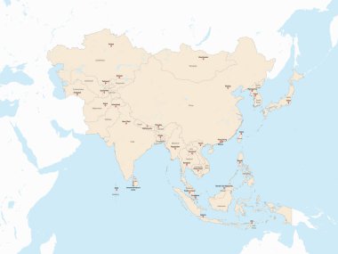
Light red detailed political map of ASIA with country and capital cities name tags using orthographic projection on white and blue background

White detailed blank political map of ASIA with black country borders using orthographic projection on blue background, without the Middle East

Vector illustration of India flag map. Vector India map.

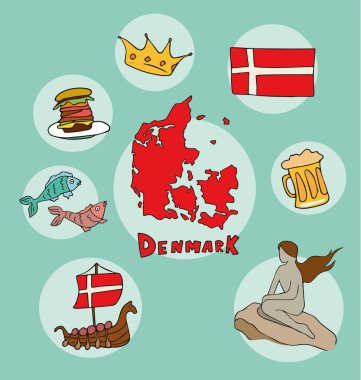
The set of national profile of the cartoon state of the world isolated on the background. Hand drawing decorative elements of the state and simple design of the country.

The set of national profile of the cartoon state of the world isolated on the background. Hand drawing decorative elements of the state and simple design of the country.

The set of national profile of the cartoon state of the world isolated on the background. Hand drawing decorative elements of the state and simple design of the country.

The set of national profile of the cartoon state of the world isolated on the background. Hand drawing decorative elements of the state and simple design of the country.

The set of national profile of the cartoon state of the world isolated on the background. Hand drawing decorative elements of the state and simple design of the country.

The set of national profile of the cartoon state of the world isolated on the background. Hand drawing decorative elements of the state and simple design of the country.

The world is a book and those who do not travel read only a page. Varicolored watercolour world map with different continents, hand drawn - vector Illustration

The set of national profile of the cartoon state of the world isolated on the background. Hand drawing decorative elements of the state and simple design of the country.

The set of national profile of the cartoon state of the world isolated on the background. Hand drawing decorative elements of the state and simple design of the country.

The set of national profile of the cartoon state of the world isolated on the background. Hand drawing decorative elements of the state and simple design of the country.

The set of national profile of the cartoon state of the world isolated on the background. Hand drawing decorative elements of the state and simple design of the country.

The set of national profile of the cartoon state of the world isolated on the background. Hand drawing decorative elements of the state and simple design of the country.

The set of national profile of the cartoon state of the world isolated on the background. Hand drawing decorative elements of the state and simple design of the country.

Meghalaya administrative and political vector map, India

The set of national profile of the cartoon state of the world isolated on the background. Hand drawing decorative elements of the state and simple design of the country.

The set of national profile of the cartoon state of the world isolated on the background. Hand drawing decorative elements of the state and simple design of the country.

The set of national profile of the cartoon state of the world isolated on the background. Hand drawing decorative elements of the state and simple design of the country.

World flags of Guyana, Haiti, Honduras, Hungary, Iceland, India, Indonesia and Iran, with capitals, geographic coordinates and coat of arms, vector art illustration

The set of national profile of the cartoon state of the world isolated on the background. Hand drawing decorative elements of the state and simple design of the country.

Vector map of India isolated on white background. Travel Vector Illustration.

Highlighted green map of BHUTAN inside light green political map of Asia using orthographic projection on light blue background

Ayodhya District orange color Map of Uttar Pradesh, India

Amethi District green Map of Uttar Pradesh, India

Agra District Vector Map with Bold blue Outline of Uttar Pradesh, India

Ambedkar District Map of Uttar Pradesh, India

Kanpur Dehat District Vector Map with Bold Black Outline of Uttar Pradesh, India

Jhansi District Map of Uttar Pradesh, India

Meerut Division map of Uttar Pradesh State India

Kanpur Division map of Uttar Pradesh State India

Basti Division Highlighted in Uttar Pradesh State Map of India

Kasganj (Kanshiram Nagar) District Vector Map with Bold Black Outline

Mirzapur District Map of Uttar Pradesh, India

Bareilly Division Highlighted in Uttar Pradesh State Map of India

Azamgarh Division Highlighted in Uttar Pradesh State Map of India

Agra Division Highlighted in Uttar Pradesh State Map of India

Lucknow Division Highlighted in Uttar Pradesh State Map of India

Kanpur Division Highlighted in Uttar Pradesh State Map of India

Mirzapur Division map of Uttar Pradesh State India

Meerut District Map of Uttar Pradesh, India

Kaushambi District Vector Map with Bold Black Outline

Balrampur District Vector Map with Bold red Outline of Uttar Pradesh, India

Ballia District green color Map of Uttar Pradesh, India

The set of national profile of the cartoon state of the world isolated on the background. Hand drawing decorative elements of the state and simple design of the country.

Aligarh Division Highlighted in Uttar Pradesh State Map of India

Balrampur District Map of Uttar Pradesh, India

Ambedkar District Vector Map with yellow Outline of Uttar Pradesh, India

Kasganj (Kanshiram Nagar) District Map of Uttar Pradesh, India

Prayagraj Division map of Uttar Pradesh State India

Bareilly Division map of Uttar Pradesh State India

Jhansi Division map of Uttar Pradesh State India

Uttar Pradesh state map Uttar Pradesh state map illustration with all dist, India

Lalitpur District Vector Map with Bold Black Outline

Lakhimpur Kheri District Map of Uttar Pradesh, India

Mau District Vector Map with Bold Black Outline

Bareilly District green Map of Uttar Pradesh, India

Jalaun District Vector Map of Uttar Pradesh state, India

Amroha District green Map of Uttar Pradesh, India

Aligarh District Map of Uttar Pradesh, India

Varanasi Division map of Uttar Pradesh State India

Basti Division map of Uttar Pradesh State India

High detail Uttar Pradesh District Map Set Clean Vector Outline with Labels

Lucknow Division map of Uttar Pradesh State India

Devipatan Division map of Uttar Pradesh State India

Chitrakoot Division Highlighted in Uttar Pradesh State Map of India

Moradabad Division Highlighted in Uttar Pradesh State Map of India

Lucknow District Map of Uttar Pradesh, India

Bahraich District blue Map of Uttar Pradesh, India

Hathras (Mahamaya Nagar) District Vector Map with Bold blue Outline of Uttar Pradesh, India

Lakhimpur District Vector Map with yellow Black Outline

Aligarh District Vector Map with Bold Black Outline of Uttar Pradesh, India

Aligarh District Vector Map with Bold Black Outline of Uttar Pradesh, India

Azamgarh Division map of Uttar Pradesh State India

Devipatan Division Highlighted in Uttar Pradesh State Map of India

Travel the world illustration with map and worldwide landmarks in 3d paper cut style. Includes Eiffel tower, Liberty statue, Giza pyramids. EPS10 vector.

Ayodhya Division map of Uttar Pradesh State India

Jhansi Division Highlighted in Uttar Pradesh State Map of India

Prayagraj Division Highlighted in Uttar Pradesh State Map of India

SAHARANPUR Division map of Uttar Pradesh State India

Moradabad Division map of Uttar Pradesh State India

Devipatan Division map of Uttar Pradesh State India

Baghpat District Vector Map with Bold colorful Outline of Uttar Pradesh, India

Ballia District Vector Map with Bold blue Outline of Uttar Pradesh, India

Kannauj District Map of Uttar Pradesh, India

Meerut Division Highlighted in Uttar Pradesh State Map of India

Varanasi Division Highlighted in Uttar Pradesh State Map of India

Barabanki District Vector Map with Bold Black Outline of Uttar Pradesh, India

Kanpur Dehat District Map of Uttar Pradesh, India

Azamgarh District blue Map of Uttar Pradesh, India

Agra District Map of Uttar Pradesh, India

The set of national profile of the cartoon state of the world isolated on the background. Hand drawing decorative elements of the state and simple design of the country.

Aligarh Division map of Uttar Pradesh State India

Gorakhpur Division map of Uttar Pradesh State India

Kushinagar District Map of Uttar Pradesh, India