Map of Indiana
Indiana map. Blank vector map of the Us State with counties. Borders of Indiana for your infographic. Vector illustration.
Vintage Touristic Greeting Card - Vector
Outline map of Indiana white background. USA state, vector map with contour.
Indiana travel poster or sticker. Vector illustration of of mist on tranquil lake in autumn.
Indiana Flag The United States of America Waving Animation App Icon Vector
Vector illustration vector illustration set of US states maps
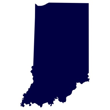
Map of the U.S. state of Indiana
Indiana map vector design templates isolated on white background

Indianapolis, Indiana skyline illustration with reflection in water

Vector Image - Map with Dot Pattern on flag button of USA Indiana State
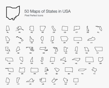
All 50 USA States Map Pixel Perfect Icons (Line Style). Vector icons of the complete United States of America states map.
Vector mosaic map of Indiana State designed for engineering. Mosaic map of Indiana State is constructed from random colored cogs. Engineering items in bright colors.
Map of Indiana
Map of indiana state
Illinois and Indiana travel stickers with scenic attractions and retro text on vintage suitcase background

Indiana sign. Round us state logo with flag of Indiana. Vector illustration.
Welcome to Indiana vintage rusty metal sign on a white background, vector illustration

Michigan - Wisconsin - Illinois - Indiana - Ohio Map labelled black illustration

Outline map of the state of Indiana over white with flag inset

Icons States map. America states map icons on a white background.

Coronavirus cell with US State Indiana flag and map. Stop COVID-19 sign, slogan save lives stay home with flag of Indiana on abstract medical bacteria background.

Skyline dark silhouettes of Indianapolis. Vector illustration

Map of the U.S. state of Indiana on a white background
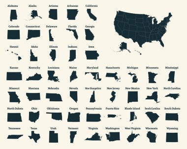
Outline map of the United States of America. 50 States of the USA. US map with state borders. Silhouette of the USA. Vector illustration.

Indiana flag ribbon vector

Set of vector polygonal Indiana maps. Bright gradient map of the US state in low poly style. Multicolored Indiana map in geometric style for your infographics.

Highly detailed political map of the USA including Alaska and Hawaii.
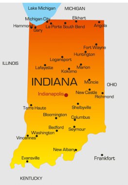
Vector color map of Indiana state. Usa

Map of the State of Indiana and American flag. Map pointer with American flag

Highly detailed map of the United States. All states are separate elements and layered in alphabetic order

Greetings from Indiana vintage rusty metal sign on a white background, vector illustration
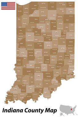
A detailed map of the State of Indiana with all counties and main cities.

Indiana state license plate in the colors of the state flag with the flag icons over a white background
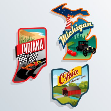
Souvenir suitcase travel stickers of Indiana, Ohio, Michigan
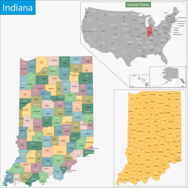
Map of Indiana state designed in illustration with the counties and the county seats

Illustration of State of Indiana, USA

Vector Image - Map on flag button of USA Indiana State
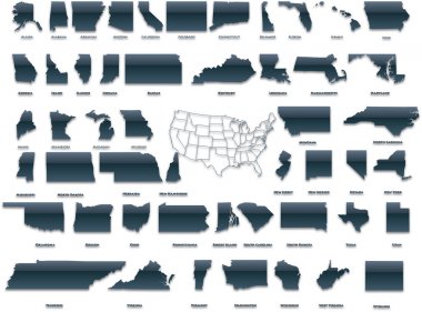
United States of America set in a nice plastic version.

Grunge rubber stamp set with names of Indiana cities, vector illustration

Indiana Dunes national park poster vector illustration design

Grunge rubber stamp or label with text Fort Wayne, Indiana written inside, vector illustration
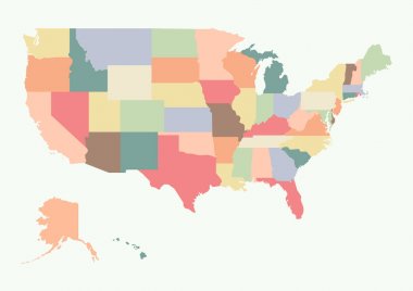
Vintage colorful USA map. Vector illustration
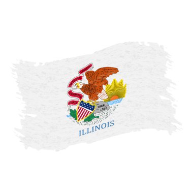
Flag of Illinois. Grunge Abstract Brush Stroke Isolated On A White Background. Vector Illustration. National Flag In Grungy Style. Use For Brochures, Printed Materials, Logos, Independence Day

Accurate map of Indiana

Typography of The USA Indiana States Handwritten Illustration on Official U.S. State Colors. Modern Calligraphy Element for your design. Simple vector lettering for t-shirts print, bags, posters, invitations, cards etc.

Indiana (USA State) Flag Vector Illustration on White Background. Flag of the United States of America.

Indiana state outline administrative and political vector map in black and white

Outline Indianapolis Skyline with Blue Buildings. Vector Illustration. Business Travel and Tourism Concept with Modern Buildings. Image for Presentation Banner Placard and Web Site.
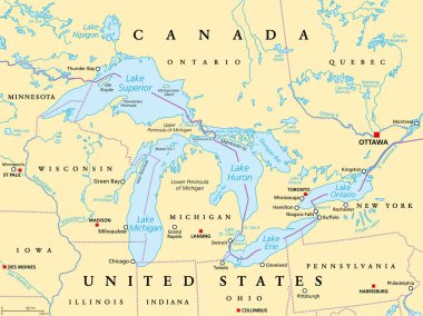
Great Lakes of North America political map. Lakes Superior, Michigan, Huron, Erie and Ontario. Series of large interconnected freshwater lakes on or near the border of Canada and of the United States.

Indiana heart flag badge. From Indiana with love logo. Support the us state flag stamp. Vector illustration.

Indiana map vintage stamp. Retro style handmade label, badge or element for travel souvenirs. Blue rubber stamp with us state map silhouette. Vector illustration.

Vector illustration of United States of America outline. Indiana

Colorful USA map

Indiana state flag. Vector illustration.
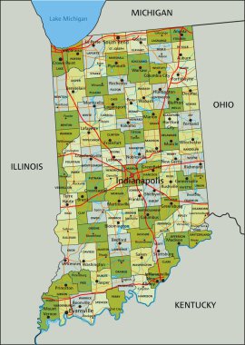
Highly detailed editable political map with separated layers. Indiana.

Colorful USA map with states, and capital cities
USA map vector illustration art on white background
Very detailed vector file of all fifty states. Each state is grouped individually and labeled in the layers palette.

Satellite map of Indianapolis, Indiana, Usa, city streets. Street map and map of the city center

Gray Political map of USA, United States of America vector illustration

A Scribbled shape of the State of Indiana

Vector USA map detailed states in blue logo icon image

USA 50 States Colorful Map and State Names vector

USA map with Alaska and Hawaii map, new political detailed map, separate individual states, with state names, isolated on white background 3D vector

Indiana Map Vector Outline Design Template. Editable Stroke.
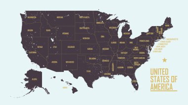
Detailed vintage map of United States of America with names of 50 states, vector illustration
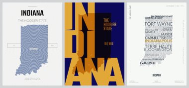
19 of 50 sets, US State Posters with name and Information in 3 Design Styles, Detailed vector art print Indiana map

A Set of Infographic Elements for the State of Indiana

United States census bureau regions and divisions vector map. Flag of United States of America

United States of American Map. USA silhouette. USA Map. USA borders.

USA map with states and capital cities

Minimal Indianapolis Linear City Skyline with Typographic Design

Administrative vector map of the US Census Region Midwest

USA map with states
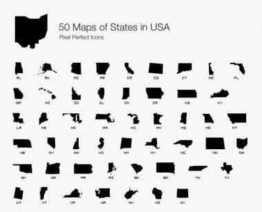
All 50 USA States Map Pixel Perfect Icons (Filled Style). Vector icons of the complete United States of America states map.

Road map of the US American State of indiana

USA vector linear map. Thin line United States map.

USA map with federal states. Vector illustration

American states, Illinois, Indiana and California vintage vector banners, signs for travel destination. Retro grunge boards, antique worn signboards with typography, touristic landmarks plaques set
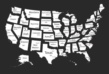
Usa states

USA 50 States with State Names and Capital vector eps10

Map of the U.S. state of Indiana on a white background

Vector Map of the U.S. state of Michigan

Great Lakes of North America, gray political map. Lakes Superior, Michigan, Huron, Erie and Ontario. Series of large interconnected freshwater lakes, on or near the border of Canada and United States.
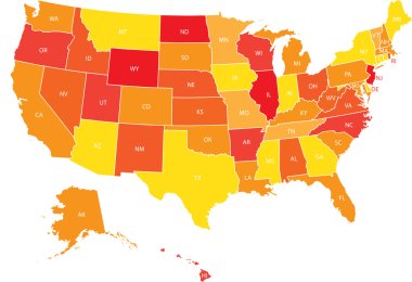
USA map with federal states. Vector illustration United states of America.
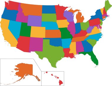
Colorful USA map with states
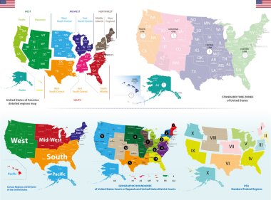
Vector maps of United States including regions and time zones maps
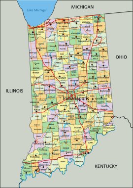
Indiana - Highly detailed editable political map with labeling.
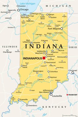
Indiana, IN, political map, with the capital Indianapolis, and most important cities, rivers and lakes. State in the Midwestern region of the United States of America, nicknamed The Hoosier State.

Lake michigan drainage basin vector map
Fort Wayne skyline linear style with rainbow in editable vector file

Realistic sport shirt Indiana Pacers, jersey template for basketball kit. Vector illustration

Linear banner of Indianapolis city. All buildings - customizable different objects with clipping mask, so you can change background and composition. Line art.

Indiana - communication network map of us state. Indiana trendy geometric design on dark background. Technology, internet, network, telecommunication concept. Vector illustration.
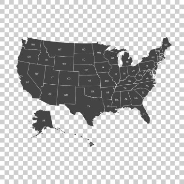
USA map with federal states. Vector illustration United states of America.

Realistic sport shirt Indiana Pacers, jersey template for basketball kit. Vector illustration

Indiana map on road sign. Wide poster with Indiana us state map on yellow rhomb road sign. Vector illustration.

Indiana State House, Indianapolis, United States of America

Graphic of the North American great lakes and their neighboring states