
Ireland map and flag vector, Ireland map, Ireland flag

Ireland map and words cloud with larger cities
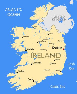
Vector detailed color Ireland map
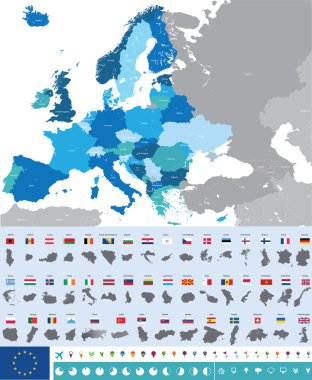
Vector high detailed map of Europe with flags

Green map of the United Kingdom

Grunge rubber stamp with the name and map of Ireland

Ireland map card paper 3D natural vector

Vector set of Republic of Ireland. Isometric 3d map, Republic of Ireland map, Europe map - with region, state names and city names.

Colorful map of countries of United Kingdom with indication of capital cities

Simple contour map of United Kingdom of Great Britain and Northern Ireland. Black outline vector map isolated on white background.

United Kingdom countries, UK regions and London vector map

Colorful map of countries of United Kingdom

High Detail Colorful vector Map of United Kingdom Regions, Administrative divisions and major cities, with also a 3D globe centered on UK
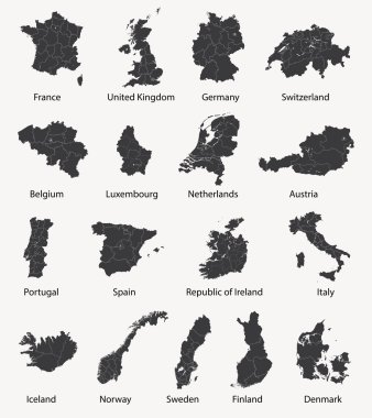
Vector set of european maps with region borders

Map of United Kingdom
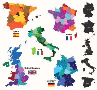
European regions map
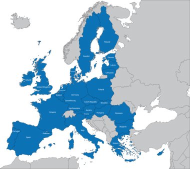
The 27 Member State of the European Union

Europa-highly detailed map. Vector illustration
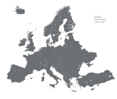
Vector high detailed map of Europe

Grunge rubber stamp with ireland flag, map and the word Ireland written inside, vector illustration
Abstract europe vector map on white
Set of Europe vector highly detailed maps

Map of Dublin, Ireland. Detailed city vector map, metropolitan area. Streetmap with roads and water.
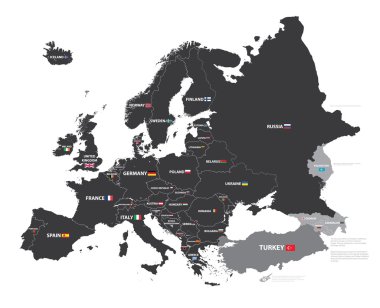
European map with country names and flags
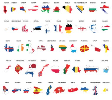
Europe country maps combinated vith flags
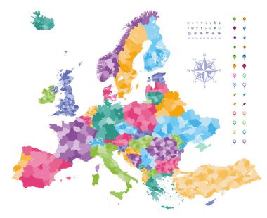
Europe map colored by countries with regions borders. Navigation, location and travel icons collection.

Abstract icon map of United Kingdom - vector illustration

Vector set of Northern Ireland country. Isometric 3d map, Northern Ireland map, Europe map - with region, state names and city names.

Vector map of the city of Dublin, Ireland

Toronto, Ontario (Canada) street network vector map

Toronto, Ontario (Canada) street network vector map

Toronto, Ontario (Canada) street network vector map

Illustration of europe chart, blue countries shape
Abstract europe color vector map on white

Blue polygonal Europe vector map

Geometric polygonal style vector map of ireland. Low poly map of ireland. Colorful Polygonal map shape of ireland on white background - vector illustration eps 10.

Toronto, Ontario (Canada) street network vector map

Political map of Europe in four shades of blue on white background. Vector illustration.

Political map of Europe in four shades of orange on white background. Vector illustration.

Creative Abstract Decor Design of Vector Map Design

Great Britain United Kingdom map card paper 3D natural vector

Map of Ireland - vector illustration

Outline Republic of Ireland map with regions

United Kingdom Country Infographics Template Vector

Great Britain United Kingdom map glass card paper 3D vector

Ireland. Vector format

Prepared Webdesign Template for site about Ireland, Vector Illustration
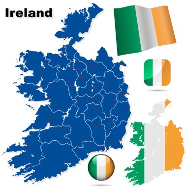
Ireland vector set. Detailed country shape with region borders, flags and icons isolated on white background.

Business card with flag and map of Ireland - vector

Shiny icon in form of Ireland - vector illustration

Detailed vector map of European Union and European countries

Vector map of european countries with a red hot thermometer

Shield with Flag of Ireland - vector illustration

United Kingdom flag inside the British map borders vector illustration

Flag of Ireland - vector illustration

Map of United Kingdom and Ireland, Vector Colorful Illustration in dot style.
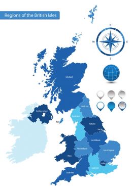
Vector map of the regions of the British Isles

Map of Ireland, Vector Icon in green modern style

Map of Ireland, Vector Icon on Black and White Background.

Abstract stamp with text Original Product of Ireland, vector illustration

Illustration of a long shadow UK flag icon with a map of Russia

Pixel map of Great Britain and Ireland composition and solid illustration. Vector map of Great Britain and Ireland composition of spheric items on a white background.

Spectrum colored collage vector map of Ireland Island for LGBT, and black version. Geographic concept map of Ireland Island is designed from random round spheric dots.

Ireland outline vector map hand drawn with chalk on a green blackboard. Chalkboard scribble in childish style. White chalk texture on green background.

Malone (New York) blank outline map

Carlow county blank outline map set

Warren (Pennsylvania) blank outline map

Whitehouse (Ohio) blank outline map

Warren (Oregon) blank outline map

Dublin county blank outline map set

Broadway (Virginia) blank outline map

Pomeroy (Washington) blank outline map

European Union. Vector Europe map with European union flag. Blue background and yellow stars

Louth county blank outline map set

Bellevue (Ohio) blank outline map

Bloomfield (New Mexico) blank outline map

Wexford county blank outline map set

Mayo county blank outline map set

Leitrim county blank outline map set

Valley (Nebraska) blank outline map

Stewartstown (Pennsylvania) blank outline map

Belfast (New York) blank outline map

Fairview (Utah) blank outline map

Offaly county blank outline map set

Belmont (New Hampshire) blank outline map

Hillsborough (North Carolina) blank outline map

Sligo county blank outline map set

Maine (Wisconsin) blank outline map

Limerick county blank outline map set

Woodstock (Virginia) blank outline map

Ireland map with the national flag on it
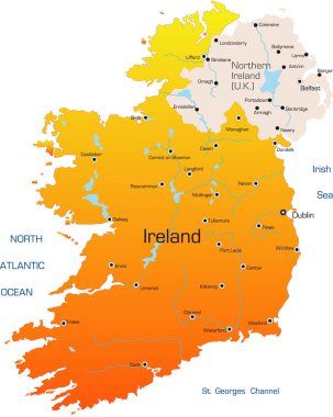
Ireland vector color map
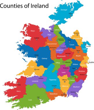
Colorful Republic of Ireland map with regions and main cities

Detailed map of Europe

Ireland highly detailed physical map
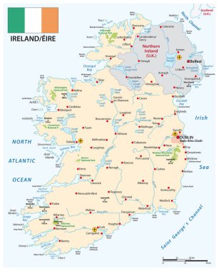
Vector map of Republic of Ireland with flag

Infographic for Ireland, detailed map of Ireland with flag. Vector Info graphic green map.

Vector Great Britain Pictogram isolated on white background

Cartoon map of Ireland. Travel illustration with irish landmarks, buildings, food and plants. Funny tourist infographics. National symbols. Famous attractions. Vector illustration

Highly detailed editable political map with separated layers. Ireland.