
Isle of wight map with flag

Outbreak composition of infection mosaic Isle of Wight map and corroded seals. Vector red seals with grunge rubber texture and Outbreak Warning caption.
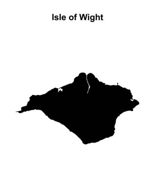
Isle of Wight blank outline map
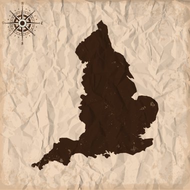
England old map with grunge and crumpled paper. Vector illustration

Vector Map of Isle of Wight with name. Map of Isle of Wight is isolated on a white background. Simple flat geographic map.
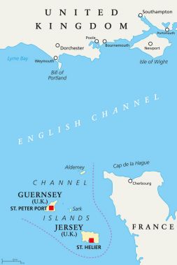
Channel Islands political map. Crown dependencies Bailiwick of Guernsey and Bailiwick of Jersey with capitals. Archipelago off the french coast of Normandy. English labeling. Illustration. Vector.

Channel Islands political map. Crown dependencies Bailiwick of Guernsey and Bailiwick of Jersey with capitals. Archipelago off the french coast of Normandy. Gray illustration over white. Vector.
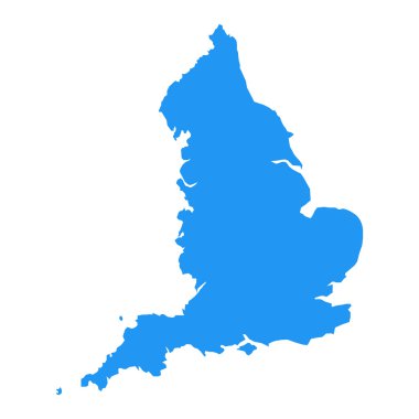
Vector map of england
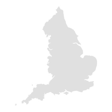
Vector map of england

Map of the subdivisions of England with the South East that is one of nine official regions

A large, detailed and colored map of England with all counties and main cities.
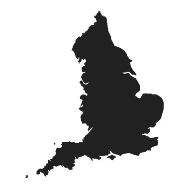
Vector map of england

High quality map of Isle of Wight is a island in United Kingdom

Hertfordshire, Isle of Wight, Isles of Scilly, Kent outline maps