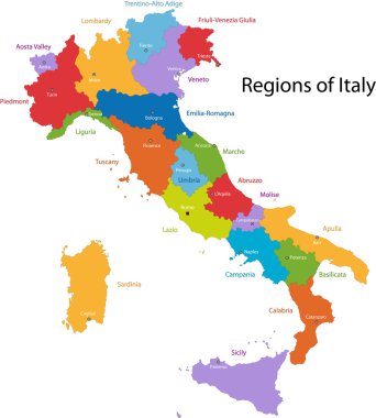
Colorful Italy map with regions and main cities

Florence (Texas) blank outline map

Florence (Oregon) blank outline map

Vector map of the city of Florence, Italy

Italy vector map with city names

Italy map, black and white detailed outline regions of the country. Vector illustration

Administrative map of the Metropolitan City of Florence, Tuscany, Italy
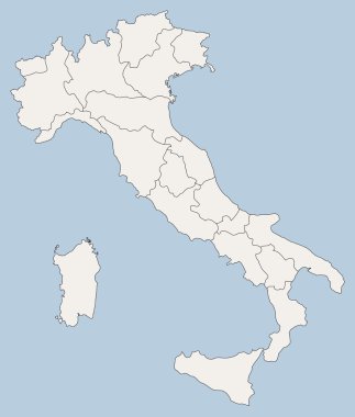
Vector map of Italy

Italy - Highly detailed editable political map with separated layers.

Tuscany administrative and political map with flag

High detailed Italy physical map with labeling.

Illustration of italy province and region maps

Illustration set of italy province and region maps
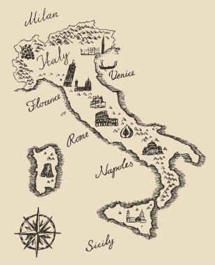
Italian map old school style, vintage retro design, engraved vector illustration, sketch
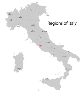
Gray Italy map with regions and main cities

The grayscale map of Tuscany region with labels on white background

Tuscany regions map with labels isolated on white background

Italy - Highly detailed editable political map with separated layers.

Silhouette and colored map of Italy regions

Illustration set of italy province and region maps

Editable colorful vector map of Italy. Vector map of Italy isolated on background. High detailed. Autonomous communities of Italy. Administrative divisions of Italy, separated provinces. outline map.
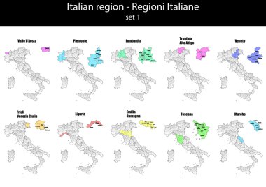
Illustration set of italy province and region maps

Road vector map of the Italian region Tuscany
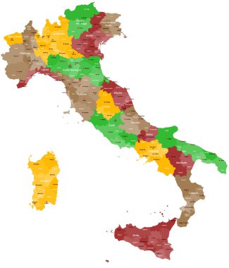
A detailed, colorful map of Italy with all provinces and big cities.

Detailed map of Italy with administrative divisions into regions and provinces of the country, vector illustration on white background
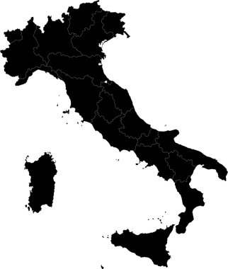
Black Italy map with regions

High detailed Italy physical map.

Map of Italy divided by regions with most famous sights in each. Sights drawn in watercolor style. Vector illustration.

High detailed Italy physical map with labeling.
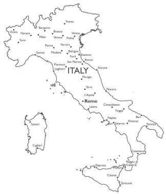
Monochrome contour map with city names

Map of ITALY with Regions Borders and Famous Cities

Colorful Tuscany map vector silhouette illustration isolated on white background. Toscana, Italy province vector map. Separated regions with borders. Italian territory, EU, Europe.

Italy vector cities skylines
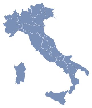
Vector map of Italy

Colorful Italy political map with clearly labeled, separated layers. Vector illustration.

Word cloud in a shape of Italy contains large cities. White text on black background, vector illustration

Italy map and flag - highly detailed vector illustration

Colorful map of Italy vector silhouette illustration isolated on white background. Autonomous communities of Italy. Detailed Italian regions administrative divisions, separated provinces. outline map.
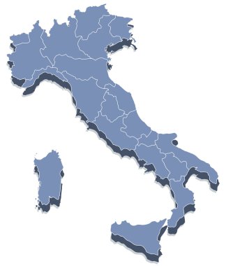
Vector map of Italy

Word cloud in a shape of Italy contains large italian cities. Black text on white background in positive slope, vector illustration
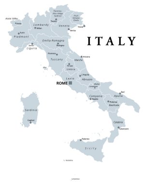
Italy, gray political map with administrative divisions. Italian Republic with capital Rome, 20 regions, their borders and capitals. English labeling. Isolated illustration on white background. Vector
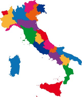
Colorful Italy map with regions

Green Tuscany map silhouette vector, Toscana, Italy province vector map illustration isolated on background. Separated regions with borders.

Highly detailed physical map of Italy,in vector format,with all the relief forms,regions and big cities.

The black and white maps of Italy regions

Italy in heart and words cloud with larger cities

The outline of the Italy with a watercolor flag inside. Vector

A large and detailed map of the State of South Carolina with all counties and county seats.

Map of Italy. Pisa. Leaning Tower. Set. Invitation to travel to Italy. Architectural landmark of the country. Design elements for tourist poster. Image on a white background.

This is the Italian flag.

Medieval Tiles for Online Strategic Game Insight and Development. Isometric Flat Middle Age Court with 3D Buildings and Mill. Explore Game Phenomena in the Middle Ages Antique Breton Atmosphere

Medieval Tiles for Online Strategic Game Insight and Development. Isometric Flat Middle Age Court with 3D Buildings and Mill. Explore Game Phenomena in the Middle Ages Antique Breton Atmosphere

Medieval Tiles for Online Strategic Game Insight and Development. Isometric 3D Flat Middle Age Castle with Towers and Flags. Explore Game Phenomena in the Middle Ages Antique Florence Atmosphere
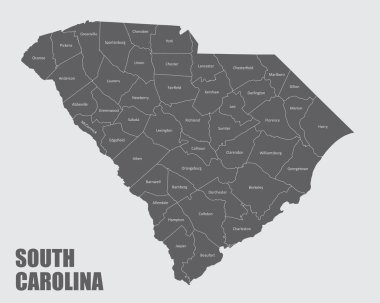
The South Carolina isolated map and its counties with labels

Medieval Tiles for Online Strategic Game Insight and Development. Isometric Flat Middle Age Court with 3D Buildings and Mill. Explore Game Phenomena in the Middle Ages Antique Breton Atmosphere
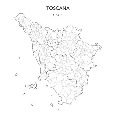
Vector Map of the Geopolitical Subdivisions of the Region of Tuscany (Toscana) with Provinces and Municipalities (Comuni) as of 2022 - Italy

Vector map of the city of Florence, Italy
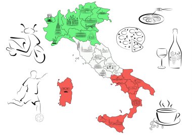
Vector drawn map of Italy divided by regions with main sights of each region.
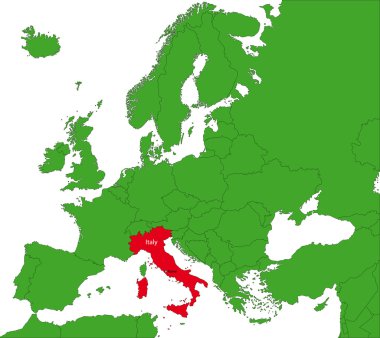
Location of Italy on the Europa continent

Illustration of italy chart with connections graphic

Illustration of italy chart with connections graphic

Blue map of Italy isolated on white background, vector

Map of Italy vector colorful, with countries, borders, High detailed, editable,
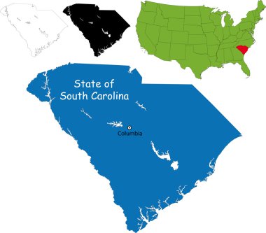
Illustration of State of South Carolina, USA

Vector coat of arms illustration of the Italian regional capital city of Florence, Italy

Italy vector map with city names

Map of Italy icon. Outline illustration of map of Italy vector icon for web

Gray Italy map with regions and main cities

Monochrome vector Italy map

High detailed Italy physical map.

Italy travel background. Brochure with Italy map, Pisa label or logo and place for text. Italy symbols for your design. Geometric design. Vector illustration.

Illustration of italy province and region maps

Illustration set of italy city maps
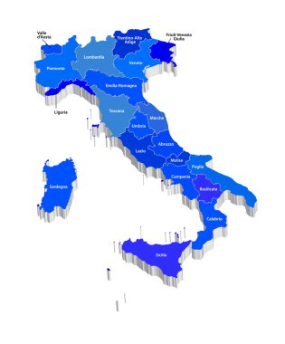
Vector map of Italy

Illustration of italy province and region maps
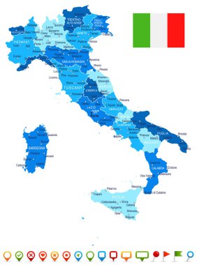
Italy map and flag - highly detailed vector illustration

Italy vector map with city names

The gray map of Italy regions with labels
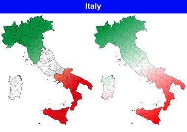
Illustration of italy province and region maps
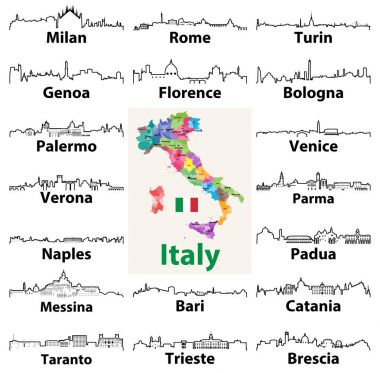
Vector outline icons of Italian cities skylines with map and flag of Italy

Vector map of Italy filled with flag of the state
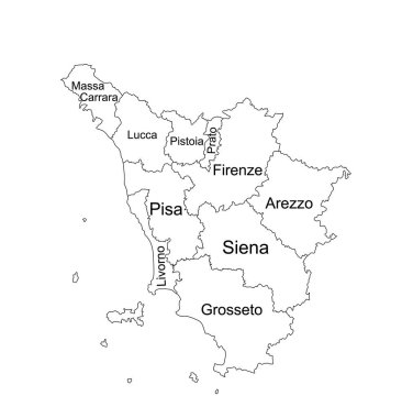
Editable Tuscany line contour map vector silhouette illustration isolated on white background. Toscana, scheme Italy province vector map. Separated regions with borders. Italian territory, EU, Europe.

Set of Italy isolated travel colorful flat icons, Italy symbols for your design. Vector illustration.

High detailed vector map illustration of the Italy nation contour isolated on white background

Map of the macroregions of Italy and with current administrative regions, detailed vector illustration

Vector map of Italy

Medieval Tiles for Online Strategic Game Insight and Development. Isometric 3D Flat Middle Age Castle with Towers and Flags. Explore Game Phenomena in the Middle Ages Antique Florence Atmosphere

Alabama state map, frame, and name.

Italy vector set of modern simple icons

Tuscany blank detailed outline map set

Italian map with silhouette symbol set

Provincies of Italy map over white background

Italy map and words cloud with larger cities

Map of Italy for your design, concept Illustration.

Medieval Tiles for Online Strategic Game Insight and Development. Isometric 3D Flat Middle Age Castle with Towers Flags. Explore Game Phenomena in the Middle Ages Antique Florence Atmosphere

Italy map and flag - highly detailed vector illustration

Italian circle background ISOLATED

Tag cloud - 100 Italy's largest cities presented on the map of Italy

List of cities and towns in Italy composed in love sign heart shape, word cloud collage, business and travel concept background

Tuscany (Autonomous region of Italy) map vector illustration, scribble sketch Toscana map