
Solothurn canton blank outline map set
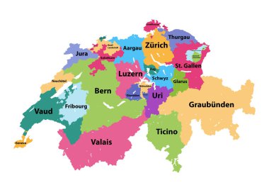
Vector map of Switzerland colored by cantons
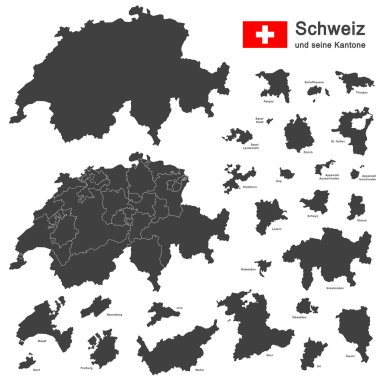
Silhouettes of country Switzerland and all cantons

Silhouettes of country Switzerland and all cantons

Blank colorful political map of Switzerland. Administrative divisions - cantons. Simple flat vector map.

Silhouettes of country Switzerland and all cantons
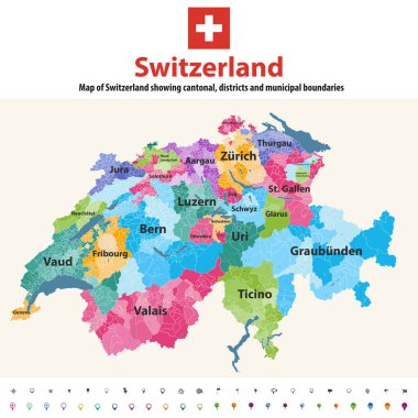
Switzerland vector map showing cantonal, districts and municipal boundaries. Map colored by cantons and inside each canton by distrcts. Flag of Switzerland. Navigation and location icons

Colorful political map of Switzerland. Administrative divisions - cantons. Simple flat vector map with labels.

Green political map of Switzerland. Administrative divisions - cantons. Simple flat vector map with labels.

Colorful political map of Switzerland. Administrative divisions - cantons. Simple flat vector map with labels.

High quality colorful labeled map of Switzerland with borders of the cantons

Blank political map of Switzerland. Administrative divisions - cantons. Simple solid gray map.

Silhouettes of european country Switzerland and all cantons
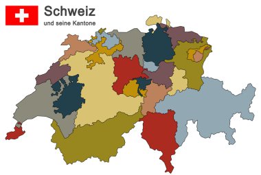
Silhouettes of country Switzerland and all cantons
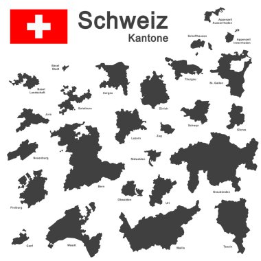
Silhouettes of country Switzerland and all cantons