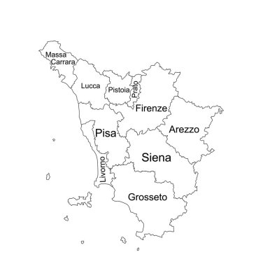
Editable Tuscany line contour map vector silhouette illustration isolated on white background. Toscana, scheme Italy province vector map. Separated regions with borders. Italian territory, EU, Europe.

Silhouettes of european country Italia and the regions

A large and detailed map of the Tuscany in Italy.

Map of Tuscany in Italy
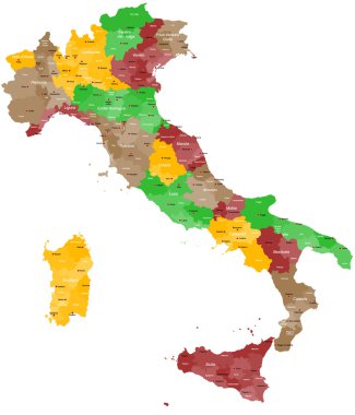
A detailed, colorful map of Italy with all provinces and big cities.

Colorful Tuscany map vector silhouette illustration isolated on white background. Toscana, Italy province vector map. Separated regions with borders. Italian territory, EU, Europe.

Green Tuscany map silhouette vector, Toscana, Italy province vector map illustration isolated on background. Separated regions with borders.

Tuscany blank detailed outline map set

Tuscany region blank outline map set

Trentino-Alto Adige, Tuscany, Umbria, Veneto outline maps

Travel around the world. Italy. Watercolor map

Tuscany administrative and political map with flag

Vector blank map of Italy with regions and administrative divisions. Editable and clearly labeled layers.

The grayscale map of Tuscany region with labels on white background

Tuscany regions map with labels isolated on white background

Map of Italy
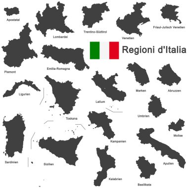
Silhouettes of european country Italia and the regions

Silhouettes of european country Italy and the regions

Silhouette and colored map of Italy regions

Map of Italy divided into 20 administrative regions. Grey land, white borders and black labels. Simple flat vector illustration.

The Italian Republic is a unitary parliamentary republic in south-central Europe

Road vector map of the Italian region Tuscany

Silhouettes of european country Italy and the regions

The detailed map of the Italy with regions or states and cities, capital

Handdrawn map of italy with all main symbols and unique lettering of main cities. Visit Italy concept. Poster design or postcard illustration

Map of Italy divided into 20 administrative regions in four colors. White labels. Simple flat vector illustration.

High quality colorful labeled map of Italy with borders of the regions

Detailed map of Italy with administrative divisions into regions and provinces of the country, vector illustration on white background

Administrative map of the Metropolitan City of Florence, Tuscany, Italy

Map of Italy

Map of Italy

Vector map of Italy with regions and administrative divisions. Editable and clearly labeled layers.

Vector blank map of Italy with regions and administrative divisions. Editable and clearly labeled layers.

Blank map of Italy divided into 20 administrative regions.
Italy map isolated on a white background. Vector illustration.
Black abstract outline of Italy map

Stylized map of Italy with main attractions and landmarks. Vector illustration

Regions of Italy. Map of regional country administrative divisions. Colorful vector illustration.

The detailed map of the Italy with regions

Italy regions map isolated on white background. Cartography map of Italian regional administrative borders. Vector stock

Map of italy. Good use for symbol, logo, web icon, mascot, sign, or any design you want.

Italy, political map with multicolored administrative divisions. Italian Republic with capital Rome, their 20 regions and borders. English labeling. Isolated illustration on white background. Vector.

Colorful map of Italy vector silhouette illustration isolated on white background. Autonomous communities of Italy. Detailed Italian regions administrative divisions, separated provinces. outline map.
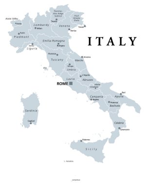
Italy, gray political map with administrative divisions. Italian Republic with capital Rome, 20 regions, their borders and capitals. English labeling. Isolated illustration on white background. Vector

Handdrawn symbols of Italy on a map. Unique illustration for travel poster, visit Italy concept. Tourist postcard design

Highly detailed physical map of Italy,in vector format,with all the relief forms,regions and big cities.

Detailed illustration of a 3D Map of Italy, eps10 vector

The black and white maps of Italy regions
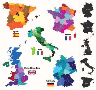
European regions map
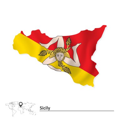
Map of Sicily with flag - vector illustration

Coat of arms of the state of Italy, All Italian regions emblem collection

Map of Italy. Pisa. Leaning Tower. Set. Invitation to travel to Italy. Architectural landmark of the country. Design elements for tourist poster. Image on a white background.
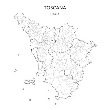
Vector Map of the Geopolitical Subdivisions of the Region of Tuscany (Toscana) with Provinces and Municipalities (Comuni) as of 2022 - Italy

Map of the Italy in gray on a white background

Vector map of the city of Florence, Italy

Map of Italy

Map of Italy

Map of Italy

Satellite map of province of Pistoia, towns and roads, buildings and connecting roads of surrounding areas. Tuscany, Italy. Map roads, ring roads

Map of Tuscany in Italy

Silhouettes of european country Italy and the regions

Map of Italy

Silhouettes of european country Italy and the regions

Map of Italy vector colorful, with countries, borders, High detailed, editable,

Map of Italy

Italy blue Low Poly map with capital Rome, versions with flag, black and outline. Vector Illustration.

Map of Italy

Italy map with Italy flag inside and ribbon

Map of Italy

Grey map of Italy

Vector map of the city of Florence, Italy

White map of Italy on black background

Countries winemakers - stylized maps from silhouettes of wine bottles, glasses and decanters. Map of Italy.
Map of Italy

Map of Italy
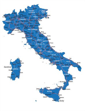
Highly detailed political road map of Italy .
Map of Italy

Silhouette map of the region of Tuscany in Italy

Map of Italy

Stylized map of Italy with main attractions, landmarks and cultural symbols

Vector Political Map of Italy with full Region and Provinces Boundaries, completed with flags and a 3d Globe of Earth centered on Italy.

Card with old-fashioned wine bottle and Italy map, Chianti bottle braided in italian style, can be used for tourism or for wine tasting, vector illustration in sketch style

Map of Italy divided into 20 administrative regions in four shades of grey. White labels. Simple flat vector illustration.

Map of Italy

Black map of Italy
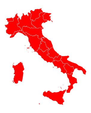
Map of Italy

Map of italy. High detailed vector map - italy.

Pizza and Italian characters attractions. Map and flag of Ital

Map of Italy divided into 20 administrative regions. White land and black outline borders. Simple flat vector illustration.
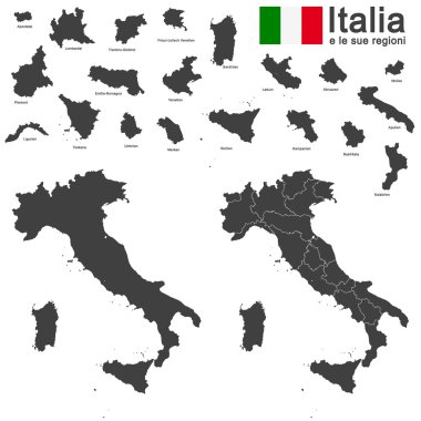
Silhouettes of european country Italia and the regions

Map of Italy

Abstract map of Italy isolated on white

The gray map of Italy regions with labels

Detailed illustration of a ballot box in front of a 3D map of Italy, eps10 vector

Map of Italy divided into 20 administrative regions in four shades of yellow. White labels. Simple flat vector illustration.

Repair workshop vector Tuscany region map mosaic and seals. Abstract Tuscany region map is designed of gradient scattered cogs. Engineering territory plan in gray and blue colors,

Cartina politica dell'Italia utile per la scuola ma anche per il lavoro

Silhouettes of european country Italy and the regions

Italy Icons Set landmarks & symbols - Vector EPS10

Card with wine bottle, glass and Spain map in national flag colors, can be used for tourism or for wine tasting, vector illustration in sketch style