
Jefferson (Ohio) blank outline map

Jefferson (New York) blank outline map

Jefferson (Oregon) blank outline map

Jefferson (North Carolina) blank outline map

Jefferson (Wisconsin) blank outline map

Jefferson (Texas) blank outline map

Jefferson County (Nebraska) blank outline map
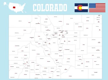
A large and detailed map of the State of Colorado with all counties and county seats.

Detailed map of Jefferson County in Texas, USA
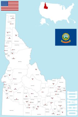
A large and detailed map of the State of Idaho with all counties and county seats.
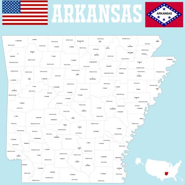
A large and detailed map of the State of Arkansas with all counties and county seats.
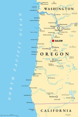
Oregon coast, political map. Coastal region of U.S. state of Oregon, bordered by Pacific Ocean to the west and Oregon Coast Range to the east, stretching from Columbia River to the California border.

Alabama, U.S. state, subdivided into 67 counties, multi colored political map with capital Montgomery, borders and county names. State in the Southeastern region of United States. Yellowhammer State.

Missouri State on USA Map. Missouri flag and map. US States.

A large and detailed map of the State of Missouri with all counties and county seats.
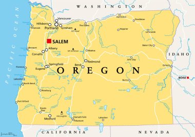
Oregon, OR, political map with the capital Salem. State in the Pacific Northwest region of the Western United States of America, with the nickname The Beaver State. Illustration. Vector.

3d sate with speech bubble on silver map
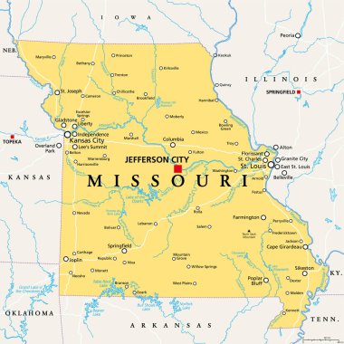
Missouri, MO, political map, with capital Jefferson City, and largest cities, lakes and rivers. State in Midwestern region of United States, nicknamed Show Me State, Cave State and Mother of the West.

Missouri, state of USA - solid black outline map of country area. Simple flat vector illustration.

This topographic map showcases Mount Jefferson s elevation lines with intricate contour patterns representing changes in terrain elevation. Marked with the mountain s name and exact coordinates, it

Missouri, MO, gray political map with capital Jefferson City, largest cities, lakes and rivers. State in Midwestern region of United States, nicknamed Show Me State, Cave State and Mother of the West.

Vector map of the city of Louisville, Kentucky, USA

Missouri Map Flag. Map of MO, USA with the state flag isolated on white background. United States, America, American, United States of America, US State. Vector illustration.

Vector map of United States with indication of Missouri

Missouri outline grey vector map

Missouri line art map - red, blue and white on black background

Missouri line art map from colorful curved lines

State of Missouri blue Low Poly map with capital Jefferson City, versions with flag, black and outline. Vector Illustration.
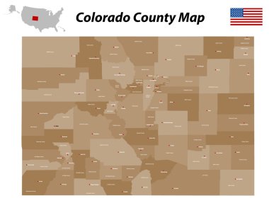
A large, detailed map of the state of Colorado with all counties and bis cities.

Missouri State magnified on United States map. Abstract USA map in blue color. Vector illustration.
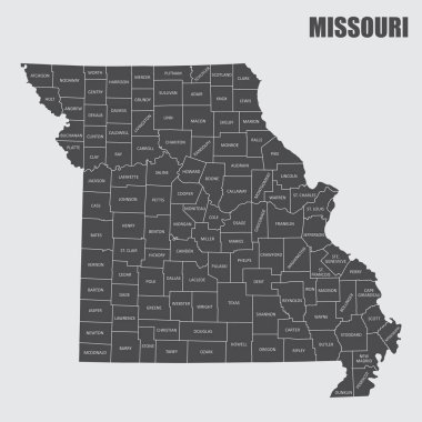
The Missouri State county map with labels
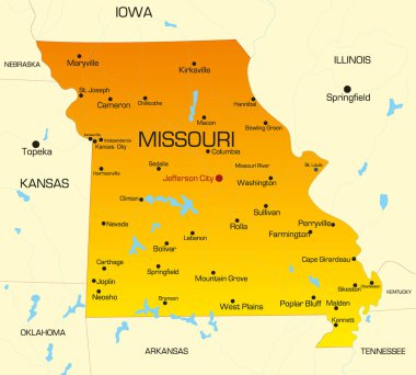
Vector color map of Missouri state. Usa

Missouri set of grey and silver mosaic 3d polygonal maps. Graphic vector triangle geometry outline shadow perspective maps

Missouri, state of USA - solid black silhouette map of country area. Simple flat vector illustration.

Map of Missouri state designed in illustration with the counties and the county seats
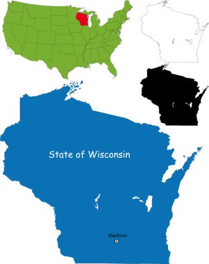
Illustration of State of Wisconsin, USA

Map of Jefferson in Alabama

A large and detailed map of the State of Missouri with all counties and main cities.
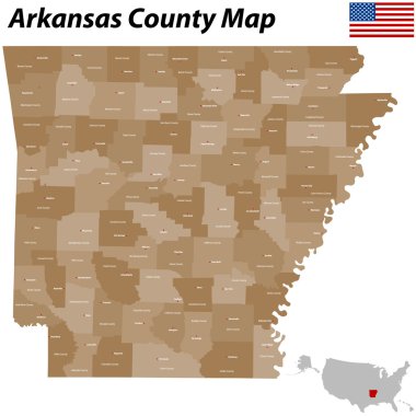
The map of Arkansas with all counties and main cities.

Black map of Missouri map

USA map with magnified Missouri State. Missouri flag and map.

Illustration of Commonwealth of Pennsylvania, USA

Abstract map of Missouri on grey background

Missouri Map Flag. Map of MO, USA with the state flag. United States, America, American, United States of America, US State Banner. Vector illustration.

Blue abstract map of Missouri

Yellow map of Missouri with indication of largest cities

Detailed map of Jefferson County in Texas, USA

Missouri vaccination concept, vaccine injection in map of Missouri. Vaccine and vaccination against coronavirus, COVID-19.

Usa presidents, mount rushmore flat line illustration, concept vector icon isolated on white background

Blue map of Missouri with indication of Jefferson City

Missouri USA state map vector tag cloud illustration

Missouri - vector map of state

Missouri blank outline map set

Missouri state map polygonal with spotlights places

Missouri Flag Collection, USA State, 12 versions

Official current vector great seal of the Federal State of Missouri, USA

Missouri Map Pin with National Flag on Open World Map.

Missouri map shape, united states of america. Flat concept icon symbol vector illustration .

Lubbock texas on blue background

State of Kentucky, subdivided into 120 counties, outline map. State in the Southeastern Region of United States, nicknamed The Bluegrass State. Contour of the state, with county names and borders.

Large and accurate map of Jefferson County, Idaho, USA with vintage colors.

Missouri map vector illustration. Global economy. State in America. North America. United States. America. U.S.A

Detailed infographic and map of Jefferson County in Idaho USA.

West Jefferson (Ohio) blank outline map

West Jefferson (North Carolina) blank outline map

Large and detailed map of Jefferson County in Idaho, USA.

Port Jefferson (New York) blank outline map

Pine Belt, also known as Piney Woods, a region in Southeast Mississippi, political map. The region get its name from longleaf pine trees, abundant in nine counties, in the map highlighted in green.

Missouri map shape, united states of america. Flat concept icon symbol vector illustration .

Jefferson City (Tennessee) blank outline map

Pine Belt, or Piney Woods, a region in Southeast Mississippi, political map. The region includes nine counties, highlighted in dark green, and get its name from longleaf pine trees, that are abundant.

Missouri state license plate pattern with letters and numbers, United States of America

Large and detailed map of Jefferson County in Idaho USA.

Map of Jefferson County in Idaho, USA arranged in a circle.