
Jefferson (Ohio) blank outline map

Jefferson (New York) blank outline map

Jefferson (Oregon) blank outline map

Jefferson (North Carolina) blank outline map

Jefferson (Wisconsin) blank outline map

Jefferson (Texas) blank outline map

Jefferson County (Nebraska) blank outline map

Missouri, state of USA - solid black outline map of country area. Simple flat vector illustration.

Mount Rushmore Sculpture Sketched Vector Illustration, Grey Shaded Version

Missouri, state of USA - solid black silhouette map of country area. Simple flat vector illustration.

Missouri Map Flag. Map of MO, USA with the state flag isolated on white background. United States, America, American, United States of America, US State. Vector illustration.
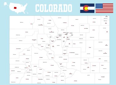
A large and detailed map of the State of Colorado with all counties and county seats.

Vector map of United States with indication of Missouri
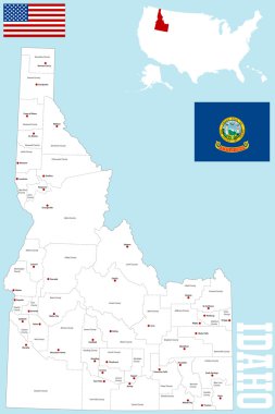
A large and detailed map of the State of Idaho with all counties and county seats.

Missouri State magnified on United States map. Abstract USA map in blue color. Vector illustration.

Missouri Map Flag. Map of MO, USA with the state flag. United States, America, American, United States of America, US State Banner. Vector illustration.

State of Missouri blue Low Poly map with capital Jefferson City, versions with flag, black and outline. Vector Illustration.

Missouri set of grey and silver mosaic 3d polygonal maps. Graphic vector triangle geometry outline shadow perspective maps
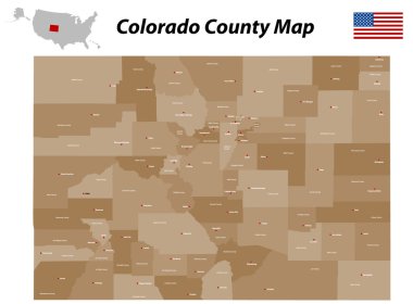
A large, detailed map of the state of Colorado with all counties and bis cities.

Vector hand drawn sketch.

Missouri line art map from colorful curved lines

A large and detailed map of the State of Missouri with all counties and main cities.
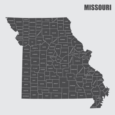
The Missouri State county map with labels

Missouri blank outline map set
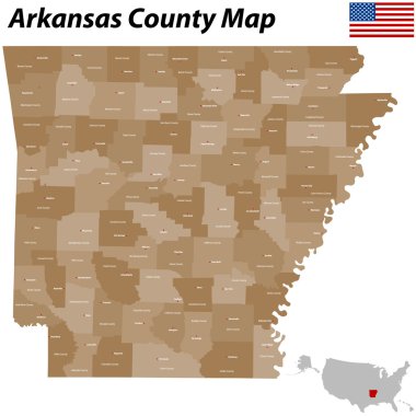
The map of Arkansas with all counties and main cities.

Outline Washington DC Skyline with Copy Space and Blue Buildings. Business travel and tourism concept with place for text. Image for presentation, banner, placard and web site Vector illustration.

Missouri line art map - red, blue and white on black background

Yellow map of Missouri with indication of largest cities

Th of july line icons. linear set. quality vector line set such as fireworks, capitol, doughnut, baseball bat, tv, barbecue, cupcake

Abstract map of Missouri on grey background

Black map of Missouri map

Washington skyline

Avatar Icons Historical Figures Set 1 Thin Line Vector Illustration Set

Set of 12 thin outline icons such as drum, kite, fireworks, uncle sam, thomas jefferson, money for web, mobile

Missouri outline grey vector map

Usa presidents, mount rushmore flat line illustration, concept vector icon isolated on white background

A large and detailed map of the State of Missouri with all counties and county seats.

Washington skyline - black and white vector illustration

Blue abstract map of Missouri

Blue map of Missouri with indication of Jefferson City

Vector hand drawn sketch.

Vector hand drawn sketch.

Vector hand drawn sketch.

Vector hand drawn sketch.
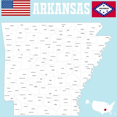
A large and detailed map of the State of Arkansas with all counties and county seats.

Official current vector great seal of the Federal State of Missouri, USA

Missouri map shape, united states of america. Flat concept icon symbol vector illustration .

Lubbock texas on blue background

State of Kentucky, subdivided into 120 counties, outline map. State in the Southeastern Region of United States, nicknamed The Bluegrass State. Contour of the state, with county names and borders.

Outline Washington DC City Skyline with Blue Buildings and Reflections. Vector illustration. Business travel and tourism concept. Image for presentation, banner, placard and web site

West Jefferson (Ohio) blank outline map
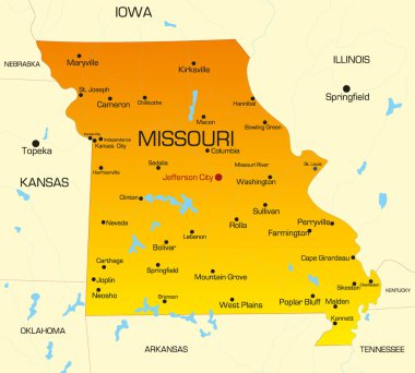
Vector color map of Missouri state. Usa

West Jefferson (North Carolina) blank outline map

Port Jefferson (New York) blank outline map

Missouri map shape, united states of america. Flat concept icon symbol vector illustration .

Washington skyline - black and white vector illustration

Architecture d jefferson icon in filled-outline style

Jefferson City (Tennessee) blank outline map

Washington city skyline

Washington skyline

Outline Washington DC city skyline. Vector illustration in blue color