Johnson (Washington) blank outline map

Johnson County, Kansas (U.S. county, United States of America, USA, U.S., US) map vector illustration, scribble sketch Johnson map

Tennesy state detailed editable map with cities and towns, geographic sites, roads, railways, interstates and U.S. highways. Vector EPS-10 file, trending color scheme

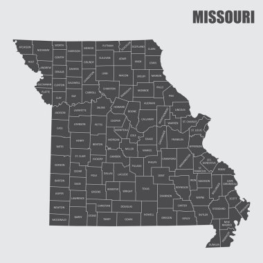
The Missouri State county map with labels

Johnson City (Texas) blank outline map

Johnson Creek (Wisconsin) blank outline map

Johnson Lane (Nevada) blank outline map

Johnson (Vermont) blank outline map

Johnson County (Nebraska) blank outline map