
Map of the U.S. state of Kentucky
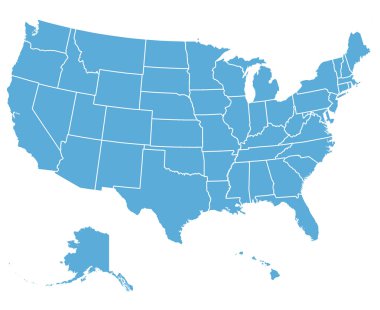
United States of America Vector Map. Cartography collection.

Map of Commonwealth of Kentucky designed in illustration with the counties and the county seats

Kentucky state map silhouette icon
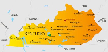
Vector color map of Kentucky state. Usa

Map of kentucky. map concept

Kentucky state blank vector outline map set

Kentucky USA state map vector tag cloud illustration
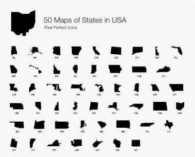
All 50 USA States Map Pixel Perfect Icons (Filled Style). Vector icons of the complete United States of America states map.
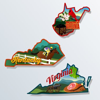
Kentucky virginia west virginia retro vector suitcase stickers

Production mosaic Kentucky State map and MADE IN textured stamp seal. Kentucky State map mosaic formed with wrenches,cogs, tools,items,cars, electric bolts,bugs.

Blue abstract outline of Kentucky map

Hand sketched KENTUCKY text. 3D vintage, retro lettering for poster, sticker, flyer, header, card.

Map of the U.S. state of Kentucky

Colorful USA map with states and capital cities
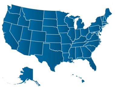
United States of America Vector Map. Cartography collection.

A large and detailed map of the USA with every single county.
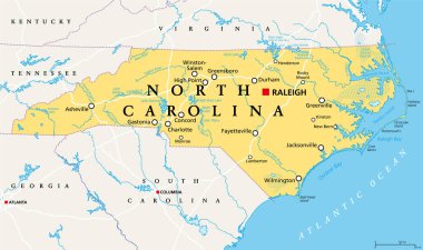
North Carolina, NC, political map. With the capital Raleigh and largest cities. State in the southeastern region of the United States of America. Old North State. Tar Heel State. Illustration. Vector.

Label sticker cards of State Kentucky USA. Stylized badge with the name of the State, year of creation, the contour maps and the names abbreviations.

Kentucky State on USA Map. Kentucky flag and map. US States.
Colorful USA map with states

The Kentucky State Counties Map isolated on white background

Map of Kentucky
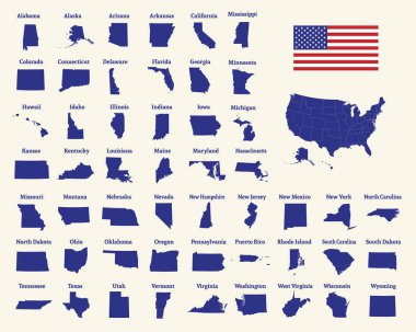
Outline map of the United States of America. 50 States of the USA. US map with state borders. Silhouette of the USA and flag. Vector illustration.

Kentucky State dark silhouette map isolated on white background

Black outline of Kentucky map- vector illustration

USA 50 States Colorful Map and State Names vector

Shiny vector stickers in form of Kentucky state, USA

Kentucky State magnified on United States map. Abstract USA map in blue color. Vector illustration.

Kentucky state illustration, abstract vector art

Kentucky blank outline map set

Map of the U.S. state of Kentucky on a white backgroun

Scribble Map of Kentucky Design Template.

Illustrated map of the state of Kentucky in United States with cities and landmarks. Editable vector illustration

Illustration of State of Kentucky, USA

Missouri, Kentucky, North Carolina, West Virginia, Virginia USA state outline art with custom lettering for prints and crafts. United states of America wall art of individual states

Vintage stamp with text Bluegrass State written inside and map of Kentucky, vector illustration

Accurate map of Kentucky

Map of the U.S. state of Kentucky on a white background

A large and detailed map of the State of Kentucky with all counties and county seats.

Kentucky State Map Creative Vector Typography Lettering Composition with flowers. Design Concept
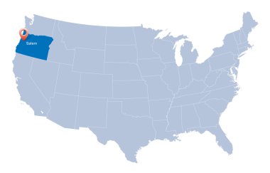
Map of USA with the indication of State of Oregon

Kentucky counties vector map with USA map colors national flag

United States of America map and Kentucky state territory on textured paper
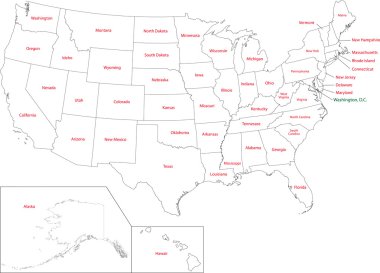
Outline USA map with states
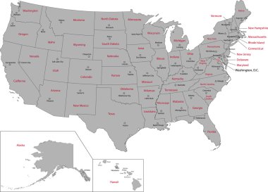
Gray USA map with states and capital cities

Simple map of Kentucky state of United States and location on USA map

Kentucky - Highly detailed editable political map.
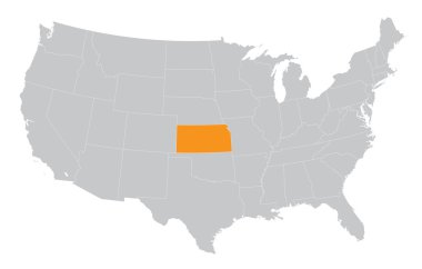
USA map with the indication of The State of Kansas

Colorful USA map with states, and capital cities

Flat hand drawn map composition. Usa States

Administrative vector map of the states of the Southeastern United States

USA map with borders and abbreviations for US states. Black color states with white inscriptions. Flat style vector illustration isolated on white background

US State Maps with flag collection, nine USA map contour with flag of Georgia, Hawaii, Idaho, Illinois, Indiana, Iowa, Kansas, Kentucky, Louisiana

Southeast region of United States, colored map. Also Southeastern United States, American Southeast, or simply Southeast, a geographic region, consisting of 12 contiguous states, and Washington, D.C.

Highly detailed editable political map with separated layers. Kentucky.
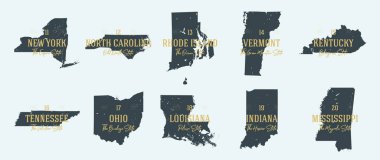
Set 2 of 5 Highly detailed vector silhouettes of USA state maps with names and territory nicknames

Map of America. United States Political map. US blueprint with the titles of states and regions. All countries are named in the layer panel

Tennessee road vector map with flag

USA 50 States with State Names and Capital vector eps10

United states of America political map with drop shadow on white background

Highly detailed vector silhouettes of US state maps, Division United States into counties, political and geographic subdivisions of a states, East South Central - Mississippi, Kentucky, Tennessee - set 11 of 17
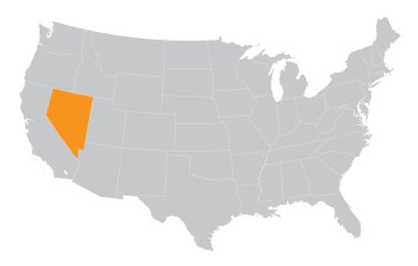
USA map with the indication of State of Nevada

Colorful USA map with states and capital cities. Vector illustration

USA map with abbreviated state names. United States of America cartography with colored states. Vector illustration.

State map. USA silhouette in flat style. Vector isolated outline illusrtation

Very detailed vector file of all fifty states in 3d. Each state is grouped individually and labeled in the layers palette.

Tennessee road vector map
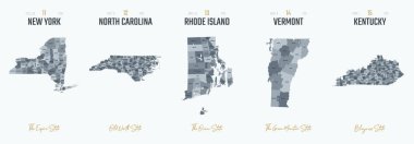
Vector set 3 of 10 Highly detailed silhouettes of US state maps, divided into counties with names and territory nicknames

USA map with states and capital cities

Highly detailed editable political map with separated layers. Kentucky.

USA 50 States Colorful Map and State Names vector
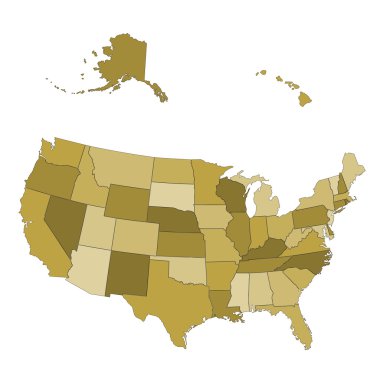
USA map - states separated in the groups - illustration for the web

North Carolina state detailed editable map with cities and towns, geographic sites, roads, railways, interstates and U.S. highways. Vector EPS-10 file, trending color scheme

United states of america map illustration isolated on white background

Missouri - Kentucky - Tennessee - Mississippi Map labelled black illustration
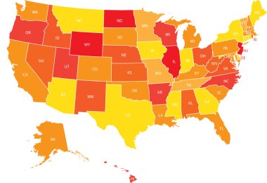
USA map with federal states. Vector illustration United states of America.
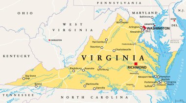
Virginia, VA, political map. Commonwealth of Virginia. State in Southeastern and Mid-Atlantic region of the United States. Capital Richmond. Old Dominion. Mother of Presidents. Illustration. Vector.

United States census bureau regions and divisions vector map. Flag of United States of America
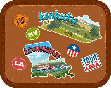
Kentucky, Louisiana travel stickers with scenic attractions and retro text on vintage suitcase background

Accurate map of Kentucky
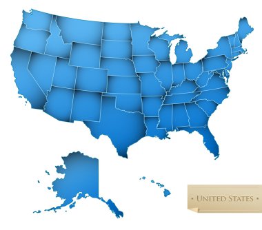
USA map - United States of America with all 50 states - blue color - isolated on white - Vector

Accurate map of Kentucky

Ohio administrative and political vector map with flag

Black outline of USA map

Ohio, OH, political map. State in East North Central region of Midwestern United States of America. Capital Columbus. The Buckeye State. Birthplace of Aviation. Heart of It All. Illustration. Vector.
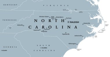
North Carolina, NC, gray political map. With capital Raleigh and largest cities. State in the southeastern region of the United States of America. Old North State. Tar Heel State. Illustration. Vector

Vector illustration of a High Detail USA Map with different colours

The Virginias, political map. The two Virginias, two states in the Southeastern and Mid-Atlantic regions of the United States. Virginia with capital Richmond and West Virginia with capital Charleston.
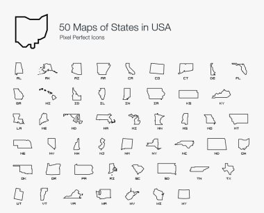
All 50 USA States Map Pixel Perfect Icons (Line Style). Vector icons of the complete United States of America states map.
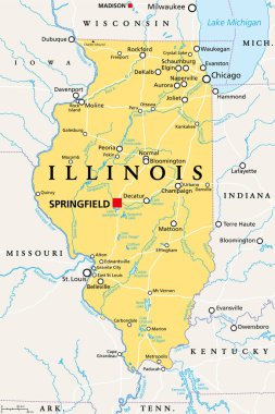
Illinois, IL, political map, with capital Springfield and metropolitan area Chicago. State in the Midwestern region of United States, nicknamed Land of Lincoln, Prairie State, and Inland Empire State.
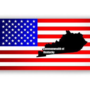
Map of the U.S. state of Kentucky
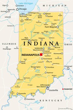
Indiana, IN, political map, with the capital Indianapolis, and most important cities, rivers and lakes. State in the Midwestern region of the United States of America, nicknamed The Hoosier State.

Map of the United States of America, with borders and abbreviations for US states, Detailed vector illustration

Kentucky KY State Border USA Map Soild

USA map with Alaska and Hawaii map, new political detailed map, separate individual states, with state names, isolated on white background 3D vector

Colorful USA map with states and capital cities

Vector Kentucky Map silhouette. Isolated vector Illustration. Black on White background.

Tennessee, TN, political map, with capital Nashville, largest cities, lakes and rivers. State of Tennessee. Landlocked state in Southeastern region of the United States, nicknamed The Volunteer State.

Outline maps of USA states collection, black lined vector map.