Australia continent map New Zealand, natural paper 3D card vector

Tasmania and the surrounding area, political map. Australian island state with capital Hobart, south of state Victoria and of Australian mainland, encompassing island Tasmania and surrounding islands.

Kentish, King Island, Kingborough, Latrobe outline maps

Maldives political map with capital Male on Kings Island and important towns. Republic and island country in the Indian Ocean. A chain of twenty six atolls. English labeling. Detailed Illustration.

Green CMYK national map of LIECHTENSTEIN inside detailed gray blank political map of European continent with lakes on transparent background using Mercator projection

Benelux flag map

South Africa flag

Polish flag map

Algeria flag

Zoom on Brunei Map and Flag. World Map

Original Spain shield colored

Iranian flag map

Maldives political map with capital Male. English labeling. Republic and South Asian island Country in the Indian Ocean. A chain of atolls. Gray illustration on white background. Vector.

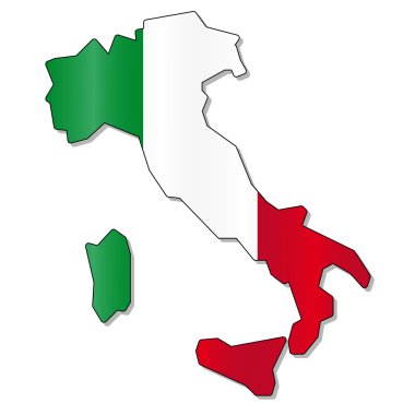
Italy flag map

Kazakh flag map

Royal Standard flag, banner of the Queen's Arms, United Kingdom, vector illustration

North and south korea flag map

Australian flag map

Mexico flag

United state of America map

China flag map

Brazilian flag map

Turkey flag map

German flag map

Location map of the KINGDOM OF SPAIN, EUROPE

Fox Islands, Alaska, United States, political map. Group of islands in the Aleutian Islands, east of the Samalga Pass, and to the west closest to mainland North America, which is the Alaska Peninsula.

Fox Islands, Alaska, United States, gray political map. Group of islands in the Aleutian Islands, east of the Samalga Pass, and to the west closest to mainland North America, the Alaska Peninsula.