
Lafayette (Oregon) blank outline map

Lafayette (Tennessee) blank outline map

The black and white Louisiana State County Maps
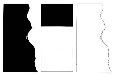
Milwaukee and Lafayette (La Fayette) County, State of Wisconsin (U.S. county, United States of America, US) map vector illustration, scribble sketch map

A large and detailed map of the State of Louisiana with all parishes and main cities.
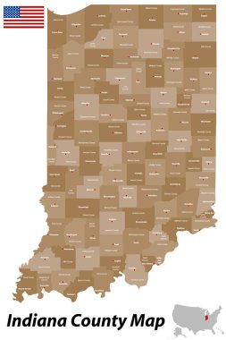
A detailed map of the State of Indiana with all counties and main cities.
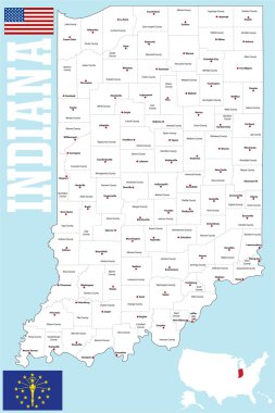
A large and detailed map of the State of Indiana with all counties and county seats.
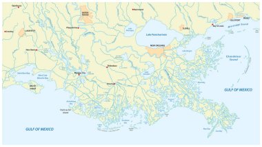
Detailed map of the Mississippi River Delta in the US state of Louisiana

Image relative to USA travel. Louisiana cities and places names cloud

2017 Solar Eclipse Totality across Tennessee State cities map color vector illustration

A large and detailed map of the State of Louisiana with all counties and county seats.

Logos depicting various birds: a seagull, a dove, a swallow.
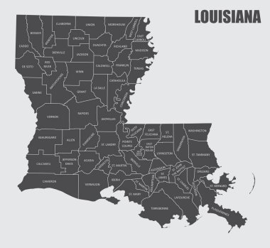
The Louisiana State County Map with labels

West Lafayette (Ohio) blank outline map