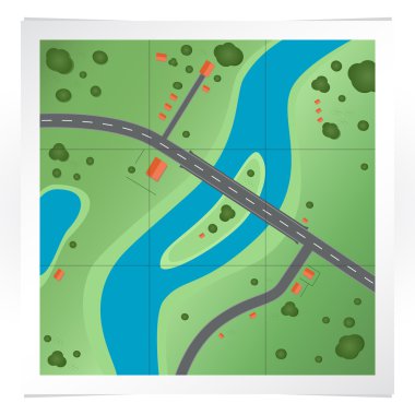
Vector illustration of road map.
Abstract topographic map in brown colors
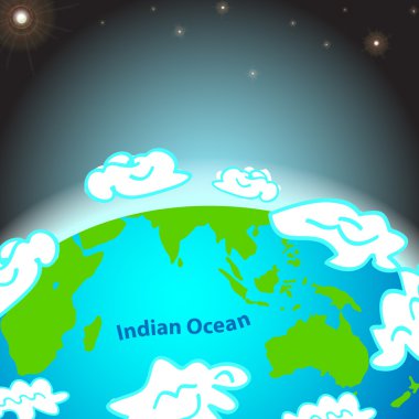
Illustration of Indian ocean on Earth
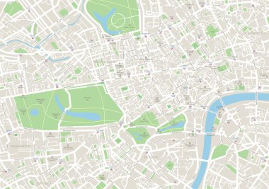
Highly detailed vector map of London. It's includes streets, parks, names of subdistricts, points of interests.
Vector picture with puzzles and map

Layered editable vector illustration outline of Manchester,Brita

Infographics with a population

World Map vector. Gray similar world map blank vector on transparent background. Gray similar world map with borders of all countries and States of USA map, States of Australia and Countries of the UK. Quality world map.

Earth icon, vector design
Dotted world map on white
Illustration of Pacific ocean on Earth

Old world map flat vector illustration. Ancient parchment with countries and oceans names. Vintage document with continents, ships and wind rose drawings. Worldwide geography exploration

Earth icon, vector illustration
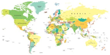
World map - highly detailed vector illustration.

Earth icon, vector illustration
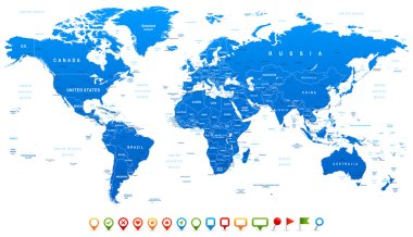
Highly detailed world map: countries, cities, water objects

Vector Earth and two paper planes on orange background
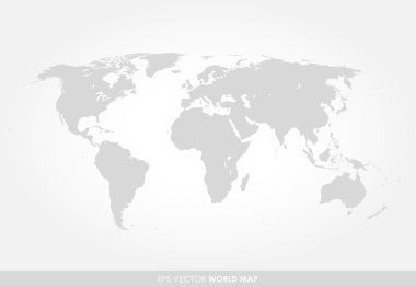
Light gray detailed world map on white background
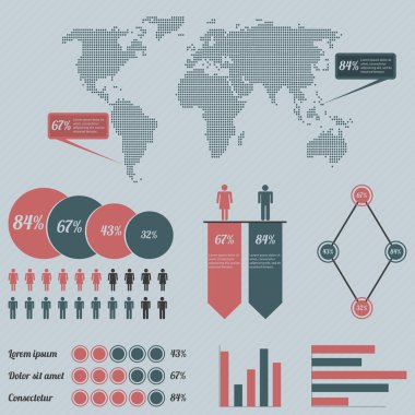
Infographics with a population

Detailed Vintage Cartoon World Map - vector illustration
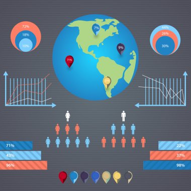
Vector infographics with a population
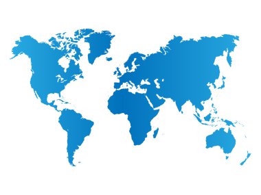
World map on white background

Infographics with a population

Vector Map with Label Icon

Set of Earth globe icons
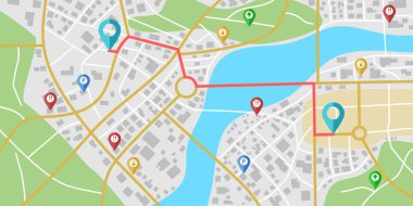
Fictional city map navigation with rivers and parks.

Infographics with a population

Vector illustration of world map, blue continents isolated on white
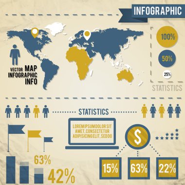
Infographics with a population
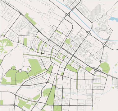
Vector map of the city of Ashgabat, Turkmenistan
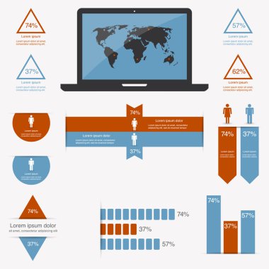
Infographics with a population
Black map of world with countries borders
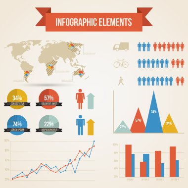
Infographics with a population
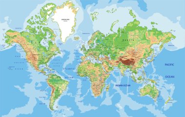
Highly detailed World map with labeling. Vector illustration.
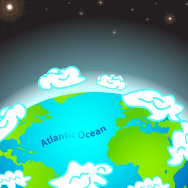
Illustration of Atlantic ocean on Earth

World map - concept of global communication
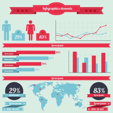
Infographics with a population

Blue World map with color points
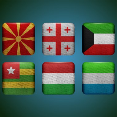
Vector flags set vector illustration
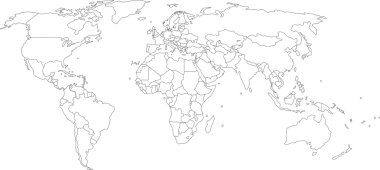
Vector illustration of world map, white color with black outline, isolated

Infographics with a population

Welcome to Holy Land, map of Israel in cartoon style. Vector illustration

Infographics with a population

Zoom on Israel Map and Flag. World Map
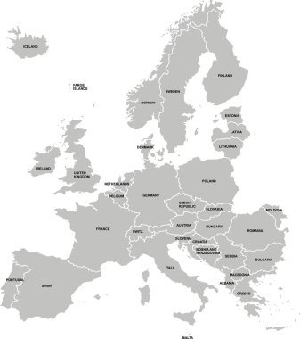
Nice europe map isolated on white background

Retro Red World Map With Shadow Vector Illustration

Israel political map with capital Jerusalem, national borders, important cities, rivers and lakes. English labeling and scaling. Illustration.

Map with GPS pin. Navigation and direction. Travel and tourism, holiday and vacation. Cartography and Geography. Map of city. Isometric vector illustration isolated on beige background

Vector map of Israel with a set of signs and symbols
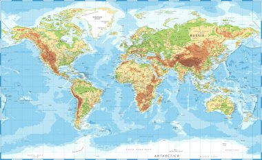
World Map Physical Topographic - Vector Detailed Illustration
World map background with pionts

Wire frame irregular mesh Bavaria Land map. Abstract lines form Bavaria Land map. Wire frame flat network in vector format.

Editable vector illustration of a generic street map and green hills

Political map of Israel, vector illustration. EPS 10

Outline of Barbados map

Service Saarland Land map collage and seals. Vector collage is formed with wheel icons in variable sizes, and German flag official colors - red, yellow, black.

Iraq flag and map.Official election national colors.Iraqi 3d realistic icon with ribbon,map border. Emblem glory sign.Vector illustration background. Realistic icon with flag and land map stroke

A Map of the country of Colombia
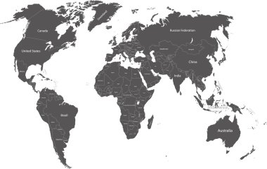
World political map with country names

Map city. Graphic plan town with streets, river, bridges, green parks, buildings and roads. Urban background with location, navigation for gps, travels and guides. Aerial pattern cartography. Vector.

Illustrated earth globe in realistic land and ocean colours

Detailed World Map with all Names of Countries
Map of world
Dotted world map isolated on white. Vector image.

World Map - Pacific View - Asia China Center - Political Topographic - Layers - Vector Detailed
Dots Grey World Map. Modern vector Illustration

World map, grunge. Eps 10

Pin map with Isle of Man flag on world map. Vector illustration.

The design of the world map composed of a straight line
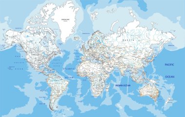
Highly detailed World road map with labeling. Vector illustration.

World travel map vector illustration
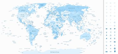
Highly detailed World Map in shades of soft blue colors and navigation icons.

Vector Planet Earth Icon Symbol

World map dot illustration on white background.

Dotted World Map

Milan colored vector map

World Map isolated on retro white color background with labeling. Vector illustration.

Vector map of the Central Asian state of Kazakhstan
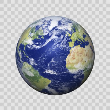
Realistic Earth with shadow on isolated background vector eps10. Elements of this vector furnished by NASA

Political World Map vector illustration isolated on white background with country names in spanish. Editable and clearly labeled layers.

World Map Illustration

World maps , grey gradient and made from dotts

Navigation map with pin pointer. Vector illustration

Earth, globe icon. Vector. World map isolated on white background.

Molucca Sea on the world map. Vector illustration.

World Map Vintage Political - Vector Illustration

World Map Color Political - Vector Detailed Illustration

Tourist infographics about Finland. Cartoon map of Scandinavian country. Travel illustration with landmarks, buildings, food and plants. National symbols. Famous attractions. Vector illustration

World Map. Stock Vector Illustration

Map of World. Mercator projection. High detailed political map of countries and dependent territories. Simple flat vector illustration

Blue circles world map background

Game elements for level map ui design, islands with crystals, palm trees, green grass and rocks. Cartoon 2d nature locations, fantasy landscape platforms, environment graphics for pc or mobile arcade

Cartoon map of Ireland. Travel illustration with irish landmarks, buildings, food and plants. Funny tourist infographics. National symbols. Famous attractions. Vector illustration

Stylized map of Sweden. Cartoon map with travel illustration. Famous landmarks, buildings, food and plants. Funny tourist infographics. National symbols. attractions. Vector illustration.

Folded Paper Map with color point markers In Hand, Abstract generic city map with roads, buildings, parks, river and with pin pointers. Vector Illustration in flat design on green background

Vector dotted world map

Cartoon map of Belgium. Travel illustration with landmarks, buildings, food and plants. Funny tourist infographics. National symbols. Famous attractions. Vector illustration
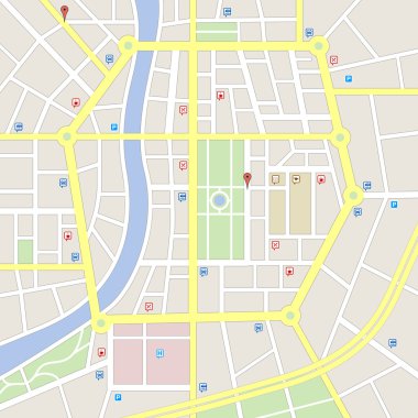
A generic city map of an imaginary city with light colors with some cute important places icons.

Folded city map with destination pointer, gps navigation. Red location pin marker on 3d paper street maps. Tourist place navigator vector sign. Route direction, tourism destination

World travel map vector illustration