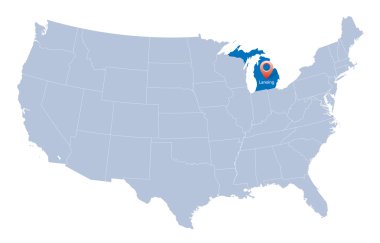
Urban vector city map of Lansing, USA. Michigan state capital

Urban vector city map of Lansing, USA. Michigan state capital

Urban vector city map of Lansing, USA. Michigan state capital

A large and detailed map of the State of Michigan with all counties and county seats.

A large and detailed map of the State of Michigan with all counties and main cities.

Road map of the US American State of michigan.

Michigan State on USA Map. Michigan flag and map. US States.

Colorful Michigan political map with clearly labeled, separated layers. Vector illustration.

Vector Map of the U.S. state of Michigan

Michigan - vector map of state

Michigan - Highly detailed editable political map with labeling.

Folded paper map of Michigan U.S. State with flag pin of Michigan. Vector Illustration

High detailed Michigan physical map with labeling.

Welcome to Grand Rapids Michigan

Curved paper map of Michigan state with capital Lansing on Gray Background. Four different Map pin set. Vector Illustration.

USA map with the indication of Sate of Michigan

Michigan's congressional districts map with capital and major cities skylines of Michigan. Vector illustration

Michigan contour vector map

USA map with magnified Michigan State. Michigan flag and map.

Illustration of State of Michigan, USA

Map of Michigan state designed in illustration with the counties and the county seats

Stamp set with the name and map of Michigan, United States, vector illustration

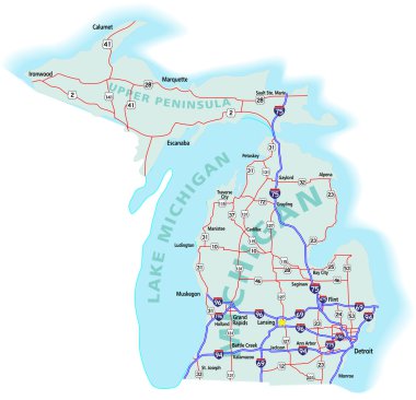
Michigan state road map with Interstates, U.S. Highways and state roads. All elements on separate layers for easy editing. Map created November 26, 2009. ZIP

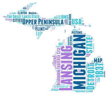
Michigan USA state map vector tag cloud illustration

USA collection. Vector illustration of Michigan theme. State Symbols - seamless pattern

County map of the US American state of Michigan.jpg

Michigan map highlights the states location in the upper Midwest Perfect for travel planning and educational resources.

High detailed Michigan road map with labeling.

Lansing (New York) blank outline map