Lazio region blank outline map set

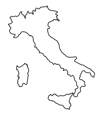
Italy outline map vector

Lazio outline map isolated on white background, Italy

High Quality map of Lazio is a region of Italy

The black and white maps of Italy regions

Location region Lazio on map Italy. 3d Lazio location sign. Quality map with regions of Italy for your web site design, app, UI. Stock vector. EPS10.

Black abstract outline of Italy map

Map of Italy divided into 20 administrative regions. White land and black outline borders. Simple flat vector illustration.

The gray map of Italy regions with labels

Concept map of Italy, vector design Illustration

Satellite map of Province of Viterbo towns and roads, buildings and connecting roads of surrounding areas. Lazio region, Italy. Map roads, ring roads

Map of Italia. hand drawn illustration. 20 regions.

Black map of Italy

White map of Italy on black background

Map of Italy divided into 20 administrative regions in four shades of yellow. White labels. Simple flat vector illustration.

Lazio region location within Italy 3d map

Grey map of Italy

Rome blank detailed outline map set

Map of Italy divided into 20 administrative regions in four shades of grey. White labels. Simple flat vector illustration.

White abstract outline of Italy map

Vector map of Italy province gray color

Black map of Italy for your design, concept Illustration.

Colosseum vector illustration, minimal drawing

Italy map isolated on blue background. European country. Vector template for website, design, cover, infographics. Graph illustration.

Italy map icon for your design, concept Illustration.

Blank map of Italy divided into 20 administrative regions.

The Lazio region map divided in provinces with labels, Italy

Lazio, Liguria, Lombardy, Marche outline maps

Map of Italy divided into 20 administrative regions in four colors. White labels. Simple flat vector illustration.

3d map of Lazio is a region of Italy

Map of the southern Italian region of Campania

High quality colorful labeled map of Italy with borders of the regions

Colorful map of Italy vector silhouette illustration isolated on white background. Autonomous communities of Italy. Detailed Italian regions administrative divisions, separated provinces. outline map.

Map of the Italian region of Tuscany

Molise administrative and political map with flag, Italy

Regions of Italy. Map of regional country administrative divisions. Colorful vector illustration.

The grayscale map of Tuscany region with labels on white background

Map of Italy divided into 20 administrative regions. Grey land, white borders and black labels. Simple flat vector illustration.

Highly detailed physical map of Italy,in vector format,with all the relief forms,regions and big cities.

Map of the southern Italian region of Abruzzo

Map of the Italian region of Umbria