
Ireland map made from Irish slang words in vector format.
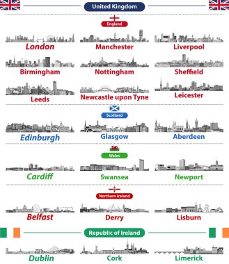
Cities skylines of British Isles countries: United Kingdom (England, Wales, Scotland, Northern Ireland) and Republic of Ireland. All elements separated in editable and detachable layers. Vector
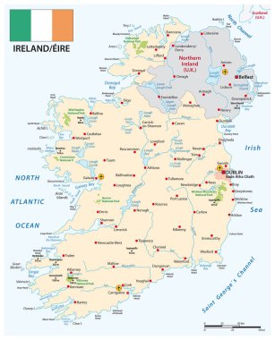
Vector map of Republic of Ireland with flag

Vector detailed map of Ireland country

Set of grunge rubber stamps with names of Ireland cities, vector illustration
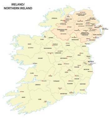
Administrative map of Ireland and Northern Ireland
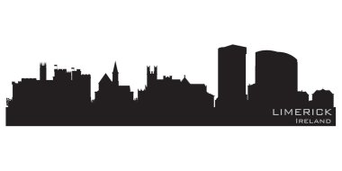
Limerick, Ireland skyline. Detailed vector silhouette

Map of Ireland with borders in gray
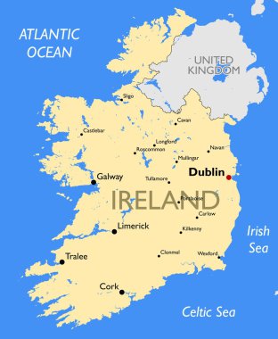
Vector detailed color Ireland map
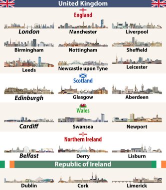
Vector set of largest cities skylines icons of British Isles countries: United Kingdom (England, Wales, Scotland, Northern Ireland) and Republic of Ireland
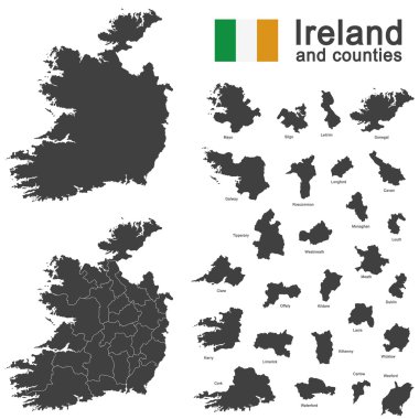
European country Ireland and counties in details
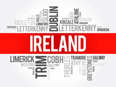
List of cities in Ireland word cloud collage, business and travel concept background

St. John's Cathedral in Limerick, Ireland. Architectural symbols of European cities. Colorful vector

Highly detailed vector map of Ireland with administrative regions, main cities and roads.

Ireland highly detailed physical map

List of cities and towns in Ireland, map word cloud collage, business and travel concept background

Ireland Political Map with capital Dublin, national borders, most important cities, rivers and lakes. English labeling and scaling. Illustration.

The detailed map of the Ireland with regions or states and cities, capitals
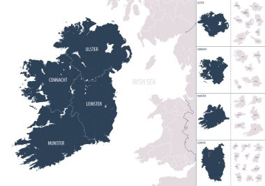
Vector color detailed map of Ireland with administrative divisions of the country, each provinces is presented separately in-highly detailed and divided into counties
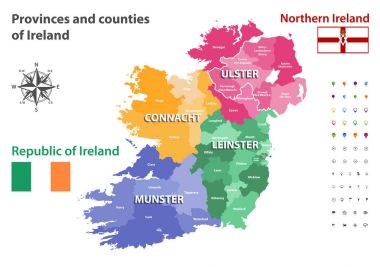
Provinces and counties of Ireland vector map
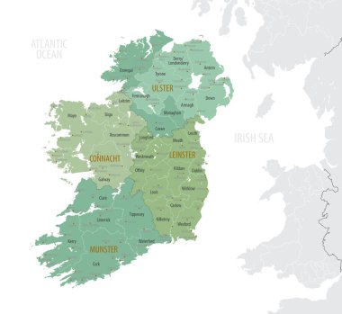
Detailed map of Ireland with administrative divisions into provinces and counties, major cities of the country, vector illustration onwhite background

Illustration in style of flat design on theme of sights of Ireland
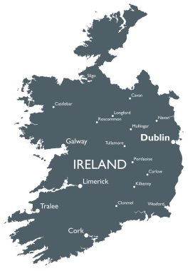
Monochrome vector Ireland map
Typographical poster on a black silhouette of a ship with quote Ireland the land of Celts isolated on a white background. Vector illustration

Woodcut Illustration of Mother Goose

Limerick Ireland skyline city silhouette

Limerick, Ireland skyline with reflection in water

Limerick city skyline silhouette vector illustration

Republic of Ireland vector map with flag
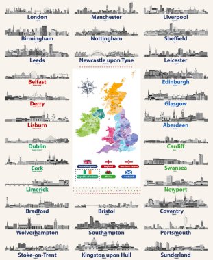
Vector set of British Isles countries cities skylines icons in black and white color palette. Flags and high detailed vector map of British countries.
Stand up comedy stage live show in vector
Stand up comedy stage live show in vector
Stand up comedy show in vector

Stand up comedy stage live show in vector

Map of Ireland as an overview map in green

Map of Ireland as an infographic in green
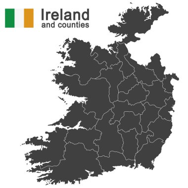
European country Ireland and counties in details
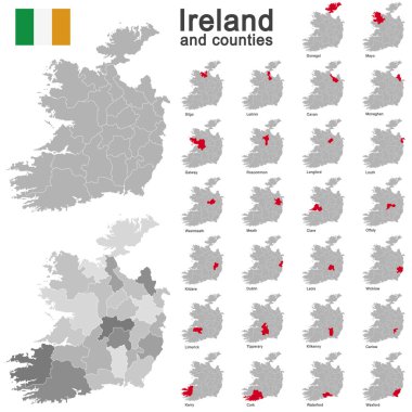
European country Ireland and counties in details
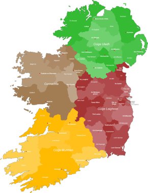
A large and detailed map of Ireland with all counties and main cities.
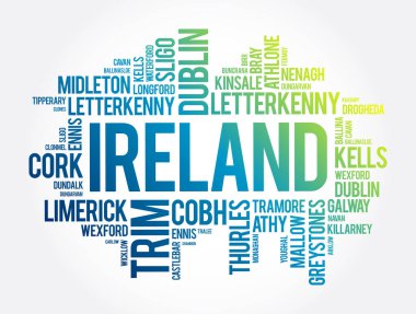
List of cities in Ireland word cloud collage, business and travel concept background
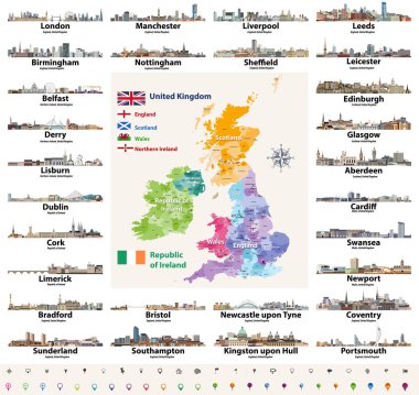
Vector set of British Isles countries cities skylines abstract icons. Map and flags of British Isles: United Kingdom (England, Wales, Scotland, Northern Ireland) and Republic of Ireland
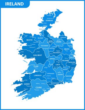
The detailed map of the Ireland with regions or states and cities, capitals

Ireland map made from Irish slang words in vector format.

Map of Ireland as an overview map in green

Map of Ireland with abstract background in green
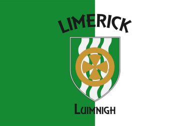
Flag of County Limerick in Munster of Ireland

Map of Ireland as an overview map in pastel green

Woodcut Illustration of Humpty Dumpty on Wall

Microphone on stand up stage in vector

Ireland Famous Landmarks Infographic Templates for Traveling Minimal Style and Icon, Symbol Set Vector Illustration Can be use for Poster Travel book, Postcard, Billboard

Guy on stand up comedy show in vector

Stand up comedy stage live show in vector

Cities of Ireland. Famous Places Ireland cities

Inverted upside down Pentagram antichrist symbol
Stand up comedy stage live show in vector

Seamless dark red lace frame with roses

Ireland map made from Irish slang words in vector format.
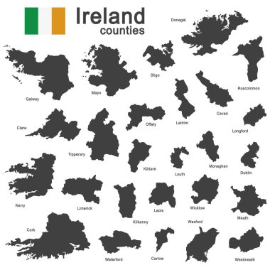
European country Ireland and counties in details
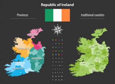
Republic of Ireland provinces and traditional counties vector map

Golden inverted upside down Pentagram antichrist symbol

Republic of Ireland traditional countries and provinces map and Irish largest cities skylines. All elements separated in editable and detachable layers. Vector illustration

Map of the European island state of Ireland

Stand up comedy stage live show in vector

Low polygon style illustration of limerick green abstract geometric background.

Ireland map | Vector detailed color Ireland map

Map of Ireland with borders in green

Map of Ireland with borders in bright gray

List of cities in Ireland word cloud collage, business and travel concept background

Stand up comedy stage live show in vector

Thomond Bridge and King John's Castle, Limerick, Ireland vintage engraved illustration. Trousset encyclopedia (1886 - 1891).

Woodcut Illustration of Mother Goose

Largest cities skylines of British Isles countries: United Kingdom (England, Wales, Scotland, Northern Ireland) and Republic of Ireland. Vector illustration

Coat of arms of County Limerick is a county in Ireland. Vector illustration

Guy on stand up comedy show in vector

Limerick county blank outline map set

Limerick, Longford, Louth, Mayo outline maps