
Vector map of Lyon. Street map poster illustration. Lyon map art.

Lyon map. Detailed vector map of Lyon city administrative area. Cityscape poster metropolitan aria view. Dark land with white streets, roads and avenues. White background.

Vector outline icons of France cities skylines
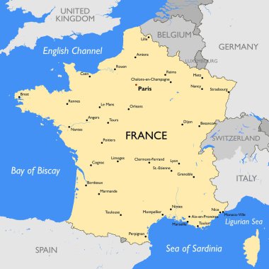
Vector detailed color France map

Detailed vector map of regions of France with flag

Cartoon vector map of France. Travel illustration with french main cities.
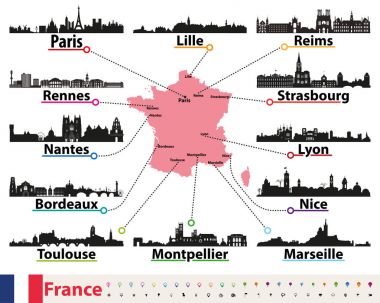
France map with largest cities skylines silhouettes vector set

High detailed France physical map.

Blue-gray detailed map of France and administrative divisions and location on the globe. Vector illustration

White France vector map

Lyon France City Map in Retro Style. Outline Map. Vector Illustration.
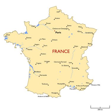
Vector detailed color France map

High detailed France road map with labeling.

Vector map of France with main cities on it. French cities skylines icons

France map - high details vector illustration

Detailed administrative divisions map of France

Detailed France physical map.

High detailed France physical map with labeling.

Colorful outlines map of France with names on white background.

Map of France and flag - highly detailed vector illustration. Image contains land contours, country and land names, city names, water object names, flag, navigation icons, roads, railways, rivers.

Map of France and flag - highly detailed vector illustration. Image contains land contours, country and land names, city names, water object names, flag, navigation icons, roads, railways.

Vector map of France with main cities on it. French cities skylines detailed icons

France Map - Vintage Detailed Vector Illustration

Map of France and flag - highly detailed vector illustration. Image contains land contours, country and land names, city names, water object names, flag, roads, railways.

Map contains topographic contours, country and land names, cities, water objects, roads, railways.
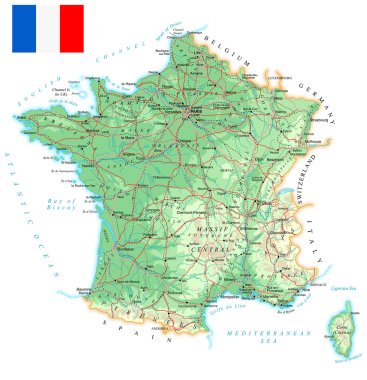
Map contains topographic contours, country and land names, cities, water objects, flag, roads, railways.

France Map - Vintage Detailed Vector Illustration

France road, administrative and political vector map

France map, black and white detailed outline regions of the country. Vector illustration

The detailed map of the France with regions or states and cities, capital, national flag

France map and flag - vector illustration

Map of Rhone-Alpes with abstract background in blue

Map of France and flag - highly detailed vector illustration. Image contains land contours, country and land names, city names, flag, navigation icons.

A High Detail vector Map of France Regions, Departments and major cities, and an earth globe centered on France.

National Country Map with Regions, States and Flag in Body
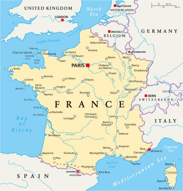
France Political Map with capital Paris, national borders, most important cities and rivers. English labeling and scaling. Illustration.

France Map - Vintage Detailed Vector Illustration

France, political map. Regions of Metropolitan France. French Republic with capital Paris and 13 administrative regions on the mainland of Europe and their prefectures. English. Illustration. Vector.

High detailed France physical map with labeling.

France, gray political map. Regions of Metropolitan France. French Republic, capital Paris, administrative regions and prefectures on the mainland of Europe. English. Illustration over white. Vector.

Vector map of tourism coasts of France

France, metropolitan regions, gray political map. French Republic with capital Paris and administrative regions on the mainland of Europe and their prefectures. English labeling. Illustration. Vector.
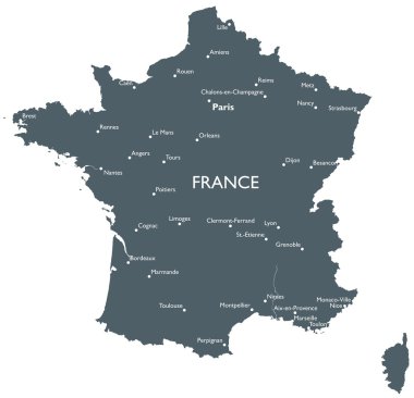
Monochrome vector France map

France - detailed map with administrative divisions and country flag. Vector illustration

France map - high details vector illustration

France - detailed map with administrative divisions and country flag. Vector illustration

Vector illustration of France map and navigation icons.

Vector Tourist Map of France

Vector Tourist Map of France

France landmarks vector map - Paris, Lyon, Cannes, Strasbourg, cheese, wine and beret.
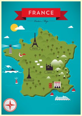
Colorful Map of France, Vector Illustration

France in heart and words cloud with larger cities

List of cities and towns in FRANCE, map word cloud collage, business and travel concept background

Black location map of the Lyonnais 9th arrondissement district inside the French regional capital city of Lyon, France
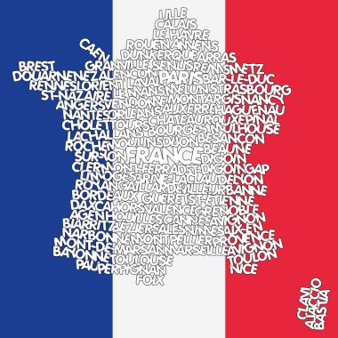
Vector illustration of a map of France

France map. Golden France logo. Creative France logo design

Map wine region of Bordeaux in France

Vector map of the city of Lyon, France

Flag of France - vector illustration

France foods word cloud illustration

Lyon France City Map in Retro Style in Golden Color. Outline Map. Vector Illustration.

Vector map of the city of Lyon, France

Color map of france with pins on main cities. simple flat style trend modern logo graphic design isolated on green background. concept of abstract french outline mapping like infographics element

Vector map of the city of Lyon, France
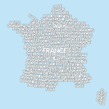
Vector illustration of a map of France

3d map of cities and roads in Europe. Countries and their neighbors.

Vector map of the city of Lyon, France

Vector city map of Lyon, France showing landcover with water, trees, parks and transportation network.

Highly detailed editable political map with separated layers. France.

Detailed road vector map of France and colorful map pointers. All layers are separated and clearly labeled.

Administrative divisions map of France and flat navigation icons with separated layers.

Moder map of France

Highly detailed road map of France with navigation labels. All layers are separated and clearly labeled.

France Map - Vintage Detailed Vector Illustration
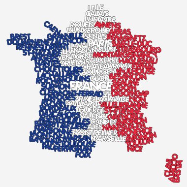
Vector illustration of a map of France
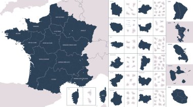
Vector color detailed map of metropolis and overseas territories of France with administrative divisions of the country, each region is presented separately in-highly detailed and divided into departments

France Map - Vintage Detailed Vector Illustration
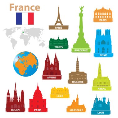
Symbols city to France. Vector illustration for you design

Map of France - 3D illustration.

High detailed France physical map.

France Map - Vintage Detailed Vector Illustration

Vector map of France with main cities on it. French cities skylines icons. Navigation and location signs set

Map of France and flag - highly detailed vector illustration. Image contains land contours, country and land names, city names, water objects, flag, navigation icons, roads, railways.

Lyon silhouette skyline. France - Lyon vector city, french linear architecture, buildings. Lyon line travel illustration, landmarks. France flat icons, french outline design banner

Map of France - vector illustration

Detailed administrative divisions map of France 2

Map of France and flag - highly detailed vector illustration. Image contains land contours, country and land names, city names, water object names, flag, navigation icons.

Map of France and flag - highly detailed vector illustration. Image contains land contours, country and land names, city names, water object names, flag.

Map of France and flag - highly detailed vector illustration. Image contains land contours, country and land names, city names, water object names, flag, navigation icons.

Detailed map of metropolis and overseas territories of France with administrative divisions into regions and departments, large cities of the country, vector illustration on a white background

Set of grunge rubber stamps with names of France cities, vector illustration

Vector color map of France country

France, Lyon flat landmarks vector illustration. France, Lyon line city with famous travel sights, design skyline.
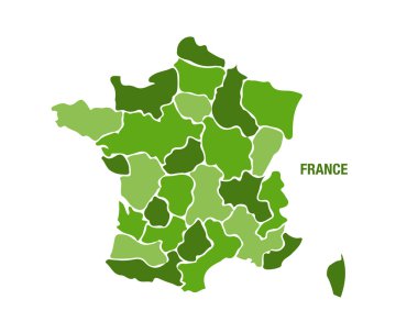
Vector illustration of a green France map

The detailed map of the France with regions or states and cities, capital

Map of Lyon in Minnesota

France landmarks vector map - Paris, Lyon, Cannes, Strasbourg, cheese, wine and beret.

Grunge rubber stamp set with names of France cities, vector illustration

France landmarks vector set - Paris Eiffel Tower, Lyon, Cannes, Strasbourg, cheese, wine and beret.

Grunge rubber stamp set with names of France cities, vector illustration