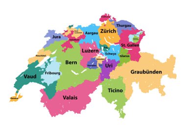
Vector map of Switzerland colored by cantons

Vector map of the Swiss canton of Ticino with the most important cities

Overview map of the Swiss canton of Graubuenden
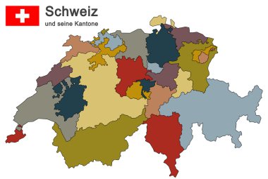
Silhouettes of country Switzerland and all cantons
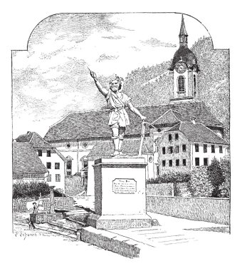
Statue of William Tell in Altdorf, Uri, vintage engraved illustration. Dictionary of words and things - Larive and Fleury - 1895.
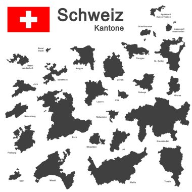
Silhouettes of country Switzerland and all cantons
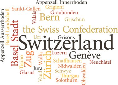
Illustration of the Swiss Cantons in word clouds isolated on white backgroun
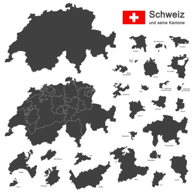
Silhouettes of country Switzerland and all cantons
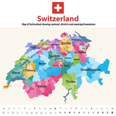
Switzerland vector map showing cantonal, districts and municipal boundaries. Map colored by cantons and inside each canton by distrcts. Flag of Switzerland. Navigation and location icons

Green political map of Switzerland. Administrative divisions - cantons. Simple flat vector map with labels.

Uri canton blank outline map set

QR code set the color of Uri flag, The canton of Switzerland with text Uri.

Silhouettes of country Switzerland and all cantons
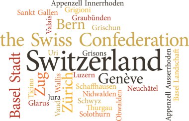
Illustration of the Swiss Cantons in word clouds isolated on white backgroun

Coat of arms of canton of Uri is one of the 26 cantons of Switzerland and a founding member of the Swiss Confederation. It is located in Central Switzerland. Vector illustration

Flag of canton of Uri is one of the 26 cantons of Switzerland and a founding member of the Swiss Confederation. It is located in Central Switzerland. Vector illustration

Coat of arms of Switzerland and Swiss cantons, vector heraldry. Heraldic shields with emblems of Zurich, Bern, Lucerne and Geneva, Uri, Schwyz, Obwalden and Nidwalden, Glarus, Zug and Fribourg
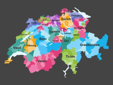
Switzerland vector map colored by cantons with districts boundaries

URI - Upper Respiratory Infection acronym, medical concept background

Blank political map of Switzerland. Administrative divisions - cantons. Simple solid gray map.

Alphabet design in a colorful style. Very cute alphabet. U letter. Urial, urchin, unicorn, ugli fruit.

Silhouettes of european country Switzerland and all cantons

Colorful political map of Switzerland. Administrative divisions - cantons. Simple flat vector map with labels.

Map of Uri in Switzerland

High quality colorful labeled map of Switzerland with borders of the cantons

Blank colorful political map of Switzerland. Administrative divisions - cantons. Simple flat vector map.

A long straight shape ending at two sharp-edged corners offering icon for bookmark

Devil's Bridge in Uri, Switzerland, during the 1890s, vintage engraving. Old engraved illustration of the Devil's Bridge.

Statue of William Tell in Altdorf, Uri, vintage engraved illustration. Dictionary of words and things - Larive and Fleury - 1895.

The detailed map of the Switzerland with regions or states and cities, capitals

Silhouettes of country Switzerland and all cantons

A long straight shape ending at two sharp-edged corners offering icon for bookmark

Silhouettes of european country Switzerland and all cantons

Detailed map of the Switzerland with cities

Colorful political map of Switzerland. Administrative divisions - cantons. Simple flat vector map with labels.
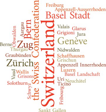
Illustration of the Swiss Cantons in word clouds isolated on white backgroun
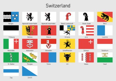
Set Flags of the cantons of Switzerland, All Swiss regions flag collection

Viral tonsillitis or upper respiratory tract infection. URI or URTI.

A long straight shape ending at two sharp-edged corners offering icon for bookmark