
Vector illustration of navigation concept with detailed blue compass and city map

Airplane flying along dashed route towards destination, map with terrain marked as fake at side. Ideal for travel, aviation, map authenticity, navigation, data accuracy, warnings, fraud detection in

Vector Illustration.
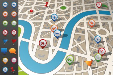
Street map in perspective including gps icons.

Vector World Map

City Map With GPS Icons, Vector Illustration

Paper maps, navigation icons and the distance marked in red

Road map

A folded map of an imaginary city with icons and pin template

Created with adobe illustrator. It is a vector file scale it to any size.

Compass icon

GPS tracking icons depict positioning, mobile tracking, and global coverage. Outline icons set

Illustration of a city map with gps icons on a tablet pc device screen, for localization app

3d United Kingdom white map with regions isolated on white background

Vector illustration

Vector illustration of global navigation concept with city map and two glossy location pointer icons on it
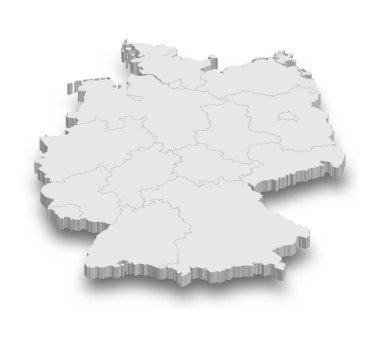
3d Germany white map with regions isolated on white background
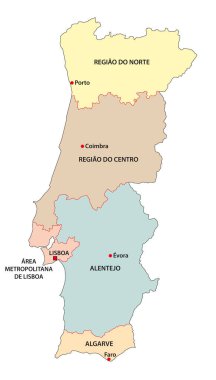
Administrative vector map of the five regions of Portugal
Vector map of the city, on a white background

Vector illustration of global navigation concept with city map and glossy location pointer icon on it

Illustration of a city map with gps icons

Vector city map with GPS Icons illustration

World time. Dotted world map with different time zone clocks

Vector city map with GPS Icons illustration
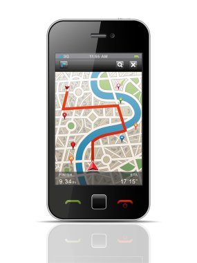
Vector Illustration.

Vector illustration of global navigation concept with city map and two glossy location pointer icons on it

Vector city map with GPS Icons illustration flat
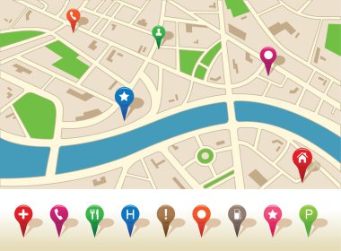
Vector illustration of a city map with icon set

3d Mexico white map with regions isolated on white background

3d Spain white map with regions isolated on white background

3d Netherlands white map with regions isolated on white background

Gps Navigation Outline Fill Icon Travel And Tour Icon, Tourism Icon, Exploring World Icons

Illustration vector of a city map with pinpoints

Location Pin Icon for Maps and Navigation
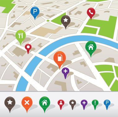
Vector illustration of a city map with colored icons

Map of world. Vector illustration

3d Portugal white map with regions isolated on white background

Crosshair with red dot on white

Map of world. Vector illustration

3d Taiwan white map with regions isolated on white background

Vector illustration of Business background with world map

Blue dark map of mexico

3d France white map with regions isolated on white background

3d Hungary white map with regions isolated on white background

3d Ukraine white map with regions isolated on white background

3d Saudi Arabia white map with regions isolated on white background

3d United States white map with regions isolated on white background

Rulers vector. Measuring tool. Centimeters and inches measuring scale cm metrics indicator. Scale for a ruler in inches and centimeters. Measuring scales

GPS icons and signs

Rulers Inch and metric rulers. Measuring tool. Centimeters and inches measuring scale cm metrics indicator. Scale for a ruler in inches and centimeters. Measuring scales

3d Israel white map with regions isolated on white background

3d Italy white map with regions isolated on white background
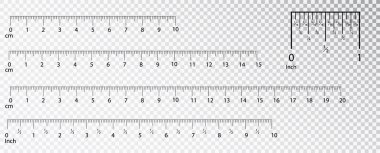
Rulers Inch and metric rulers. Measuring tool. Centimeters and inches measuring scale cm metrics indicator. Scale for a ruler in inches and centimeters. Measuring scales

Rulers Inch and metric rulers. Measuring tool. Centimeters and inches measuring scale cm metrics indicator. Scale for a ruler in inches and centimeters. Measuring scales

City map

Illustration vector of a city map with pinpoints

Icon vector map of the city. eps10 with transparency

Vector illustration

Vector Illustration

Illustration of a symbolized city map with roads, street, district blocks and places, with gps icons

Set of folded maps and gps icons

Vector city map with GPS Icons illustration

City map with GPS Icons

City map with GPS Icons

Vector illustration of global navigation concept with city map and glossy location pointer with house icon

Vector illustration

Vector illustration of global navigation concept with city map and glossy location pointer icon on it

All world.

Vector illustration of global navigation concept with blue glossy earth globe and city map

Vectror map set icon with pin

City map with gps pointers icons vector illustration isolated on background

City Map With Marker, flags, pins, balloons for message and button. Vector

City Map With GPS Icons, Vector Illustration

Vector illustration of global navigation concept with city map and glossy location pointer icon

Simplified stylized cartoon styled map with simple pins on it
Vector map with GPS and pin icon

Map of the world vector illustration

Detailed world map for your projects.

GPS icons on the map illustration

Illustration vector of a city map with pinpoints

World map background vector illustration

Pointers on the stylized map. Vector illustration

Vector illustration of global navigation concept with city map and glossy location pointer with house icon

Vector illustration of travel concept with city street map and magnifying glass over it

Illustration of a cartoon city map icon printed on scrolled paper with yellow and white roads, street, district blocks and places, with red gps icon

GPS icons on the map illustration

World Map on a white background

Corner ruler vector. Measuring scales. Mackup for rulers. Size indicators set isolated on background. Unit distances. Concept graphic element.

Vector Silhouette of World Map

Vector illustration of a world map set

Map with Navigation Icons. Vol. 1. Vector illustration.

Collection of city navigational maps.

Map and Navigation icon set

City map, vector

World map vector illustration

City map with GPS Icons and route

Vector illustration of city map with marker and icon pin
Brown circles hours with arrows and figures

Gps smartphone equipment on white

Vector Illustration