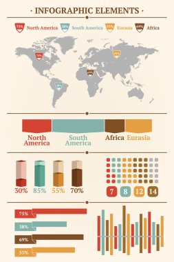
Retro infographics set. World Map and Information Graphics

Editable vector street map of town as seamless pattern. Vector illustration.
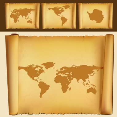
Old map of the world
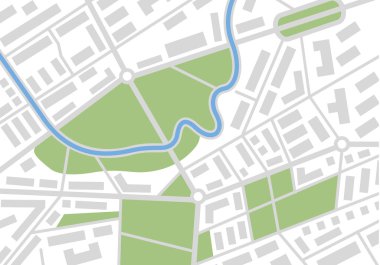
Editable vector street map of town. Vector illustration.
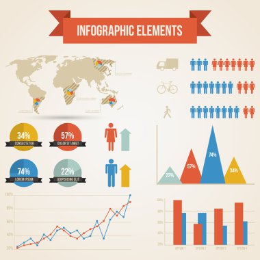
Infographics with a population
A generic city map pattern of an imaginary location in shades of grey

Set of vector globe icons showing earth with all continents. Vector illustration.
World map on white background

Retro infographics set. World Map and Information Graphics
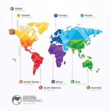
World map illustration infographics geometric concept design vector template.

Colored background with different accessories
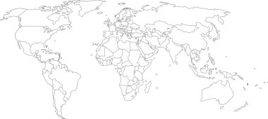
Vector illustration of world map, white color with black outline, isolated
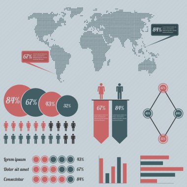
Infographics with a population

Political world map isolated on white background, vector illustration.
Retro infographics set. World Map and Information Graphics
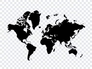
Map of world
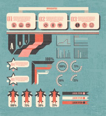
Retro infographics set. World Map and Information Graphics
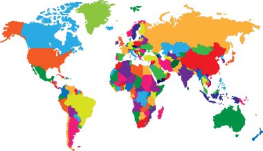
Colored map of world with countries borders
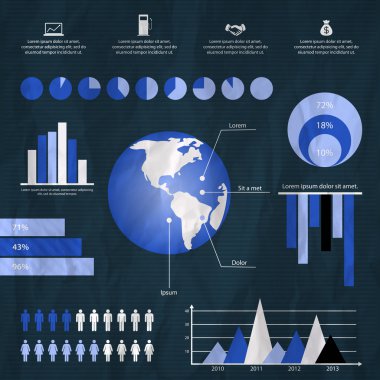
Retro infographics set. World Map and Information Graphics
Street map of town
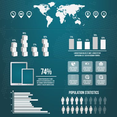
Infographics with a population

Layered editable vector illustration outline of Manchester,Brita
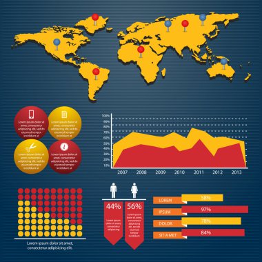
Retro infographics set. World Map and Information Graphics

Grey vector world map with borders of all countries

Retro infographics set. World Map and Information Graphics

Paper map with red point. Local street gps navigate. City route navigation to marker. Geography distance plan. Vector
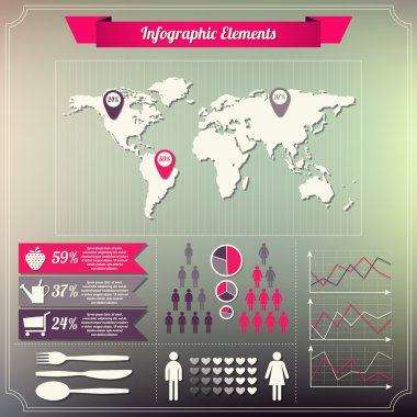
Set of infographics elements Vintage style design

3D top view of a map with destination location point, Aerial clean top view of the day time city map with street and river, Blank urban imagination map, GPS map navigator concept, vector illustration

Business infographic elements vector illustration
Dotted world map on white
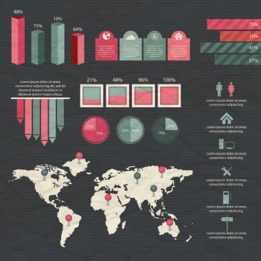
Colorful infographic elements and information graphic. Vector illustration

Old world map flat vector illustration. Ancient parchment with countries and oceans names. Vintage document with continents, ships and wind rose drawings. Worldwide geography exploration
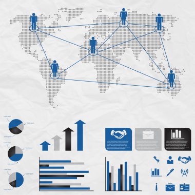
Set of infographic elements

World map over white

Retro infographics set. World Map and Information Graphics

Urban vector city map of SanJose, California, United States of America

Infographic Elements, vector design
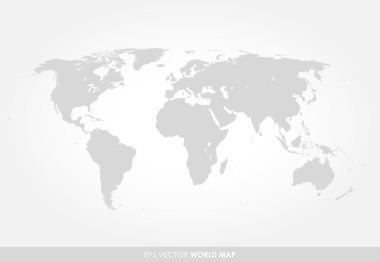
Light gray detailed world map on white background
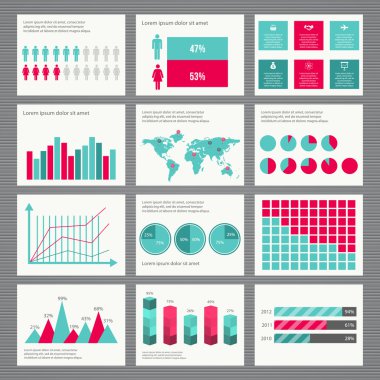
Retro infographics set. World Map and Information Graphics

Seamless pattern in the form of abstract city map. Vector repeating flat illustration with a city road plan. Decorative map with town streets, green parks and a blue river. Color schematic background
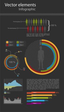
Vector infographic elements for the web and print usage

Abstract city map. Town district plan. City center scheme. Vector illustration
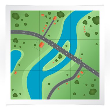
Vector illustration of road map.

Map city, gps navigator. City area vector background map, streets and water cartography illustration. Widescreen proportion, digital flat design streetmap. Top view. Abstract transportation. Detailed view of city from above.

Business infographic elements vector illustration
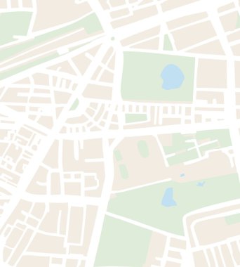
Abstract city map vector illustration with white streets, beige buildings, green parks and blue pond. Simply town plan
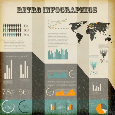
Retro infographics set. World Map and Information Graphics

Vector Map with Label Icon
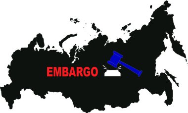
Illustration of gavel next to embargo lettering and map of russia
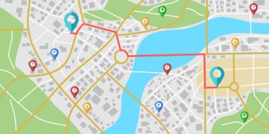
Fictional city map navigation with rivers and parks.
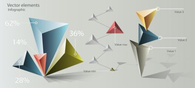
Paper Origami Infographic Elements
Urban vector city map seamless texture

Vector Set of Map Markers
Seamless map city pla
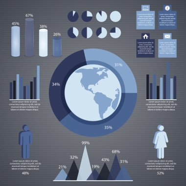
Grey infographic elements and information graphic. Vector illustration

Vector illustration of navigation concept with detailed blue compass and city map
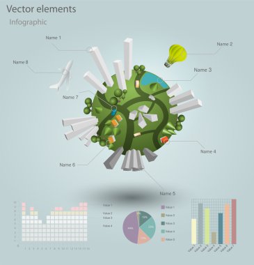
Infographics Industrial buildings and residential areas. Vector illustration.
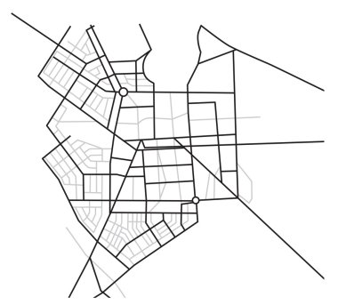
City map - vector scheme of roads

Retro infographics set. World Map and Information Graphics

Doodle town. Map drawn by hand. Vector. Isolated.

World map, vector design

Vector illustration of world map, blue continents isolated on white
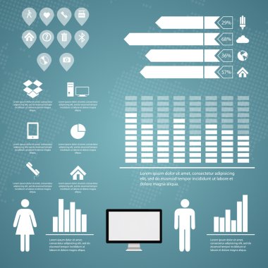
Retro infographics set. World Map and Information Graphics

Vector world map connection
Elements on background of the world map

Vector set of infographic elements

Colorful infographic elements and information graphic. Vector illustration
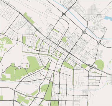
Vector map of the city of Ashgabat, Turkmenistan

Colored background with different accessories
Abstract city map vector illustration with streets, parks, and ponds

Colored background with different accessories

Pin map icon in flat style. Gps navigation vector illustration o. N isolated background. Target destination business concept

Cartoon city vector illustration
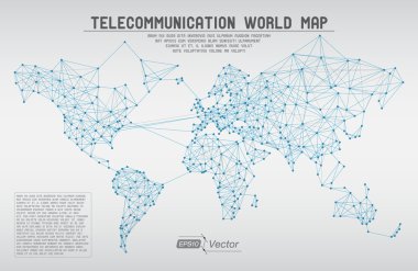
Detailed EPS10 vector design

Retro infographics set. World Map and Information Graphics

Pin map icon in flat style. Gps navigation vector illustration o. N isolated background. Target destination business concept

Colored background with different accessories

Map markers and flat map icon.
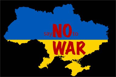
Illustration of ukrainian territory with say no to war lettering isolated on black
Black map of world with countries borders

Colored background with different accessories
Vector graphics, eps 10
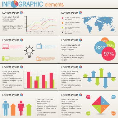
Set of infographics elements. World Map and Information Graphics
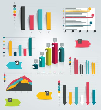
Big set of infographic charts. Vector.
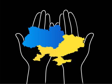
Illustration of ukrainian territory in hands on black

3d vector world map illustration and infographics design template.

Colored background with different accessories
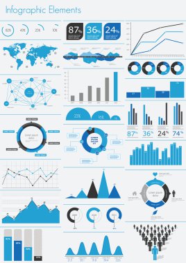
Detail infographic vector illustration. World Map and Information Graphics

Colored background with different accessories

Vector illustration of a world map with continents in different colors. Perfect for education, geography, travel, and infographic projects.

Colored background with different accessories

Silhouette regins map of the Mexico. All objects are independent and fully editable.

Colored background with different accessories

Prayagraj District Highlighted in Uttar Pradesh State Map of India

Colored background with different accessories

Jhabua District Map Highlighted on Madhya Pradesh State Map

Colored background with different accessories
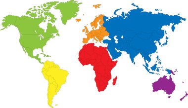
Colored map of the World with countries borders

Colored background with different accessories

Ratlam District Map Highlighted on Madhya Pradesh State Map