
High Quality map of Aguascalientes is a state of Mexico, with borders of the municipalities
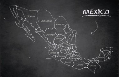
Mexico map, new political detailed map, separate individual states, with state names, card blackboard school chalkboard vector
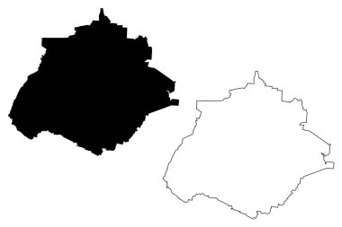
Aguascalientes (United Mexican States, Mexico, federal republic) map vector illustration, scribble sketch Free and Sovereign State of Aguascalientes map
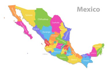
Mexico map, new political detailed map, separate individual states, with state names, isolated on white background 3D vector

A gray map of Mexico divided into provinces
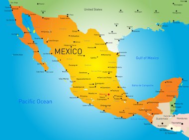
Abstract vector color map of Mexico country
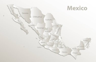
Mexico map, new political detailed map, separate individual states, with state names, card paper 3D natural vector

Urban vector city map of Aguascalientes, Mexico
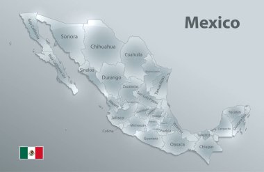
Mexico map flag, new political detailed map, separate individual states, with state names, glass card 3D state names, isolated on white background 3D vector

3d map of Aguascalientes is a state of Mexico, vector illustration
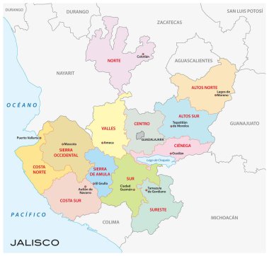
Jalisco, administrative and political vector map, mexico

Aguascalientes blank outline map set
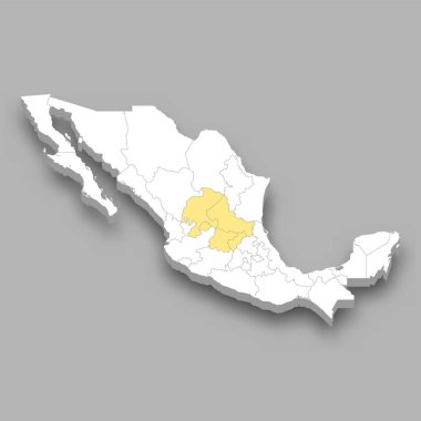
The Bajio region location within Mexico 3d isometric map

Aguascalientes state blank contour map

Aguascalientes city (United Mexican States, Mexico, Aguascalientes State) map vector illustration, scribble sketch Ciudad de Aguascalientes map

Aguascalientes region location within Mexico 3d isometric map