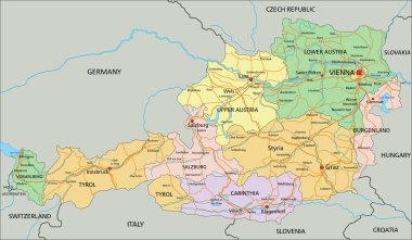
Austria - Highly detailed editable political map with labeling.

Austria Map. Detailed Vector Illustration of Austrian Map. Stock Template

Blind map of Austria divided to regions, vector illustration

Austria - solid black silhouette map of country area. Simple flat vector illustration.

Map of Austria as an overview map in green

Map art vector background nation
Grunge rubber stamp with the name and map of Austria on vintage background, vector illustration
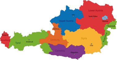
Map of administrative divisions of Austria

Illustration of europe chart, colorful countries shape

Outline Europe map with countries
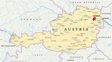
Political map of Austria with capital Vienna, with national borders, most important cities, rivers and lakes. Illustration with English labeling and scaling.
Flag of Austria

Vector set of Austria country. Isometric 3d map, Austria map, Europe map - with region, state names and city names. Fonts : Myriad Pro, Roboto
Grunge rubber stamp with the name and map of Austria, vector illustration

Set of Vector Flag of Austria. Collection flags, label, stickers, pointer, badge and icon with symbol on design element. Vector EPS10 illustration isolated background

Location of Burgenland map Austria. 3d location sign similar to the flag of Burgenland. Quality map with states of Austria for your design. EPS10.

Detailed map of Europe

Flag of Austria - vector illustration
Flag map Austria

Map of Austria with decoration of national flag, vector illustration
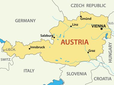
Map of Austria - vector illustration
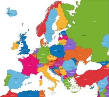
Colorful Europe map with countries and capital cities

Austria wavy flag and mosaic map on white background. Austria flag wavy ribbon color. National poster design. State Austrian patriotic banner, flyer. Business booklet. Vector illustration
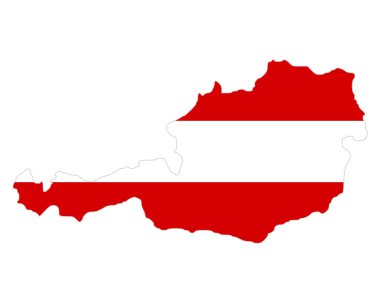
Map and flag of Austria

Vintage europe map with countries inscription uk, ireland, norway, sweden, finland, germany, france, spain, italy, poland, czech austria switzerland netherlands belgium drawing on dirty paper

Color art map of Villach, Carinthia, Austria iin blues and oranges. The color gradations in Villach map follow a random pattern.
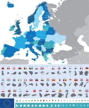
Vector high detailed map of Europe with flags

Hand carrying austria Landmark Global Travel And Journey Infographic Bag. Vector Design Template.vector/illustration
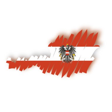
Flag map Austria

Printable map of Korneuburg, Austria with main and secondary roads and larger railways. This map is carefully designed for routing and placing individual data.
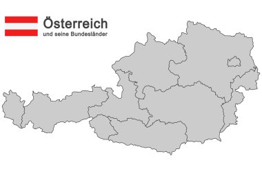
Silhouettes of Austria and the federal states

Set of vector icons with Austria flag

Administrative and political map of the Austrian state of Styria
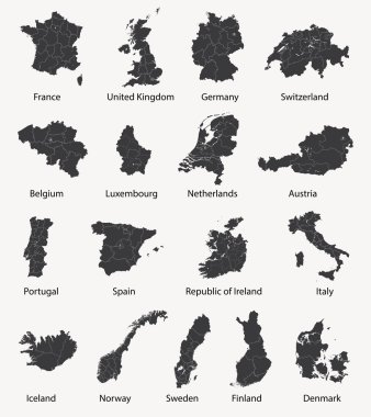
Vector set of european maps with region borders

World map with country and vehicles
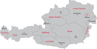
Gray Austria map with states and main cities

Austria infographics, statistical data, sights. Vector illustration

Flag of Austria. Metal Round Icons. This is File from the Collection European Flags

Blue-green detailed map of Hungary administrative divisions with country flag and location on the globe. Vector illustration
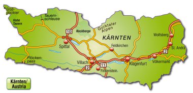
Map of kaernten with highways

Vector map Vienna district

Administrative and political vector map of switzerland

Czech Republic and Slovakia countries detailed editable map with regions cities and towns, roads and railways, geographic sites. Vector EPS-10 file

Member states of the european union map without united kingdom

Simple black maps all european union countries stickers collection eps10

High detailed Germany physical map with labeling.

Simple black maps all european union countries collection eps10

High detailed Germany physical map.

High detailed Germany physical map.

High detailed Germany physical map with labeling.

High detailed Austria physical map with labeling.

Europe map without names of countries

European Union country flags , member states EU, vector illustration

The Vienna city administrative map with labels, Austria

Colorful Austria political map with clearly labeled, separated layers. Vector illustration.
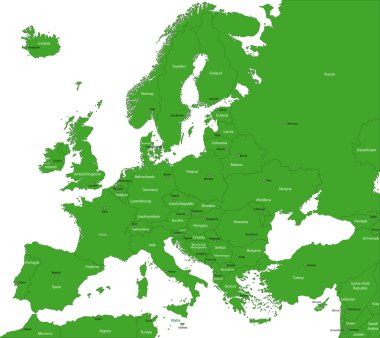
Green Europe map with countries and capital cities
Abstract europe vector map on white
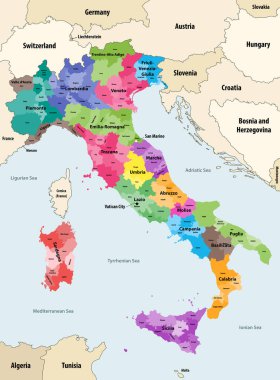
Italy provinces colored by regions vector map with neighbouring countries and territories

Vector Europe map
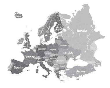
Europe vector high detailed political map with regions borders
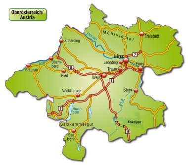
Map of upper Austria with highways

Austria map colored by states showing districts boundaries, with neighbouring countries. Austrian cities skylines. Flag of Austria. Navigation and location icons set. Vector illustration
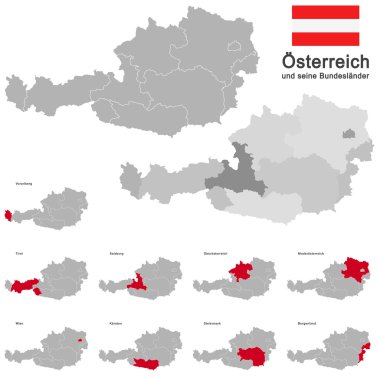
European country austria and the federal states

Illustration of europe chart, colorful countries shape
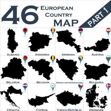
European country set with map pointers
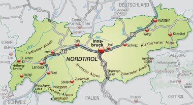
Map of tyrol with highways in pastel green

High detailed vector political Europe map with capitals, cities, towns, rivers and lakes.

Detailed vector poster city map Vienna

Colorful map of Europe. Vector illustration template for wall art and marketing in square format.

High detailed colored political map of Europe with countries' regions. Vector

High detailed Germany physical map.

Simple all european union countries in one outline map eps10

Europe map - highly detailed vector illustration.

Vector color map of Liechtenstein country

Vector map of the Italian national highway system

Silhouette maps of European countries.

Austria Map and Colored Map Icons - Detailed map of Austria vector illustration - All elements are separated in editable layers clearly labeled.

Illustration of euro zone map with flags, 2012 year

Map of Swiss national and nature parks

Vector detailed map of Europe

Detailed vector map of Austria and capital city Vienna
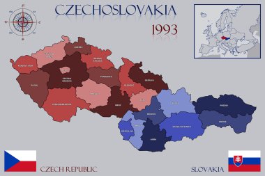
Illustration of a Map of Czechoslovakia
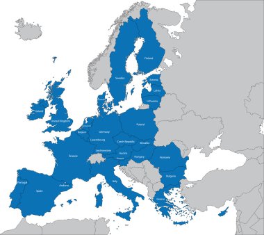
The 27 Member State of the European Union

Europe detailed editable map with regions cities and towns, roads and railways. Vector EPS-10 file

Colorful Europe map. Countries and borders, political map of Europe continent with capitals vector illustration. Cartography concept, different colorful country boundaries for presentation

Europe with highlighted Switzerland map and flag
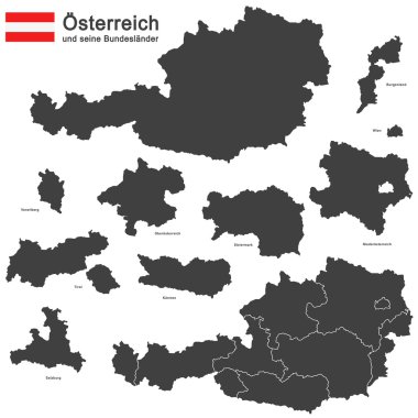
Silhouettes of Austria and the federal states

Nazi Germany - Third Reich at its greatest extent in 1942. Map of Europe in Second World War with todays state borders.

Map of Europe. hand drawn illustration.
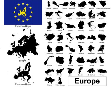
Vectors of european countries, Europe and European Union

Europe single states political map. All countries in different colors, with national borders and country names. English labeling and scaling. Illustration on white background.

Map of Central Europe with the most important cities and rivers

The European Union map and flags

Italy administrative vector map

High detailed Germany physical map with labeling.

Illustration of europe chart, blue countries shape

Central Europe Region. Colorful map of countries in central part of Europe. Vector illustration.
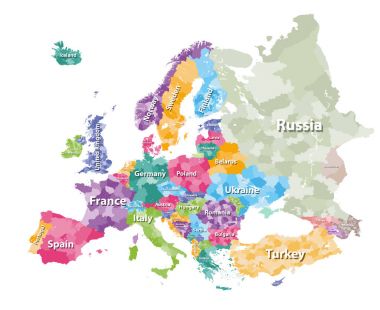
Colored political map of Europe with countries' regions. Vector illustration

Europe map - highly detailed vector illustration Image contains next layers: - land contours - country and land names - city names - water object names - navigation icons

Europe detailed map with name. Vector illustration