
Illustrated map of the state of Nevada in United States with cities and landmarks. Editable vector illustration
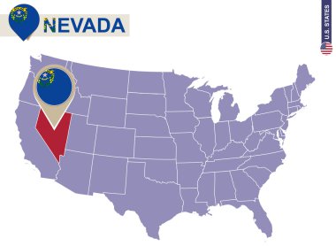
Nevada State on USA Map. Nevada flag and map. US States.
USA map with the indication of State of Nevada
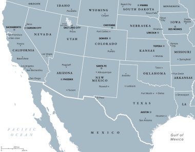
Southwest region of the United States, gray political map. States of American Southwest, simply Southwest. Geographical and cultural region, bordered by Mexico. Arizona, New Mexico, Nevada and Texas.

Colorful Nevada State vector map silhouette illustration isolated on white background. High detailed illustration. United state of America country. Nevada map with separated county borders.

Nevada State vector map silhouette illustration isolated on gray background. High detailed illustration. United state of America country. Nevada map with separated county borders.

Nevada state detailed editable map with cities and towns, geographic sites, roads, railways, interstates and U.S. highways. Vector EPS-10 file, trending color scheme

State Nevada map on transparent background. Blank map of Nevada with regions in gray for your web site design, logo, app, UI. USA. EPS10.
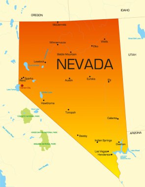
Vector color map of Nevada state. Usa

California political map with capital Sacramento, important cities, rivers, lakes. State in the Pacific Region of the United States. Los Angeles, San Francisco. English labeling. Illustration. Vector.
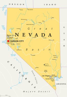
Nevada political map with capital Carson City. State in the Western, Mountain West and Southwestern regions of USA, with Las Vegas, Reno, Lake Mead and Area 51. Illustration, English labeling. Vector.

Typography composition of city names, silhouettes maps of the states of America, vector detailed posters, Division Mountain - Nevada, Utah, Arizona - set 14 of 17
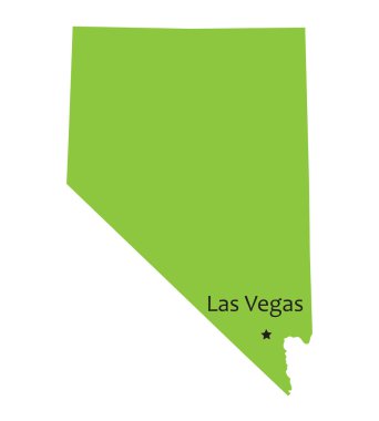
Green map of Nevada with indication of Las Vegas

Blue outline of Nevada map
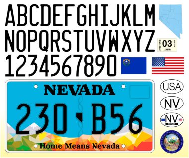
Nevada car license plate pattern, letters, numbers and symbols, vector illustration, USA

Blue vector map of United States with indication of Nevada

Nevada outline vector map

United States of America isolated map and Nevada State territory. vector USA political map. geographic banner template

Map of USA with the indication of State of Nevada and Carson City
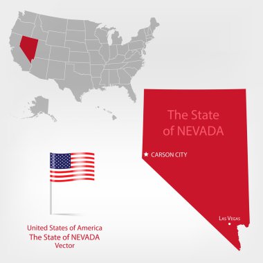
Highly detailed vector illustration of Nevada. With American flag.

Urban vector city map of Carson City, USA. Nevada state capital

U.S. states - map of Nevada with paper cut effect. Hand made. Rivers and lakes are shown. Please look at my other images of cartographic series - they are all very detailed and carefully drawn by hand WITH RIVERS AND LAKES.
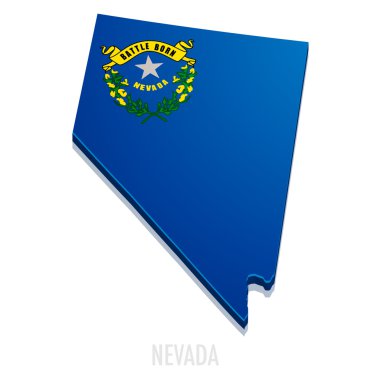
Detailed illustration of a map of Nevada with flag, eps10 vector
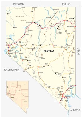
Nevada road and administrative map with interstate US highways and main roads

Illustration of State of of Nevada, USA
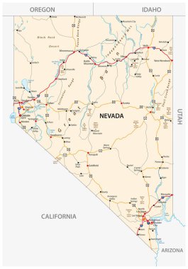
Nevada road map with interstate US highways and federal highways

USA map with magnified Nevada State. Nevada flag and map.

A large and detailed map of the State of Nevada with all counties and main cities.

USA - Nevada state infographic template

Grey map of Nevada

Map of Nevada state of the USA, with landmarks. Colorful hand drawn illustration

Nevada map shape, united states of america. Flat concept icon symbol vector illustration .

Map of Nevada state designed in illustration with the counties and the county seats
Nevada - flat collection of US states flags. Flags of twelve flat icons of various shapes. Set of vector illustrations

California political map with capital Sacramento, the largest cities and borders. State in the Pacific Region of the United States. The Golden State. Gray illustration on white background. Vector.
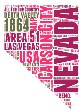
Nevada USA state map vector tag cloud illustration

Nevada vector chalk drawing map isolated on a white background

Abstract square stamp or sign with silhouette and name of US state Nevada, vector illustration

Nevada blank outline map set
Nevada state map, flag, and name.

Orange map of Nevada

Magnifier with map of Nevada on abstract topographic background.
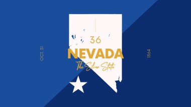
36 of 50 states of the United States with a name, nickname, and date admitted to the Union, Detailed Vector Nevada Map for printing posters, postcards and t-shirts

Nevada Map Pin with National Flag on Open World Map.

Stamp or label set with names of Nevada cities, vector illustration

Nevada, state of USA - solid black silhouette map of country area. Simple flat vector illustration.

Carson (Washington) blank outline map

Great Basin Desert, in the western United States, gray map. Temperate desert with hot, dry summers and snowy winters, spanning large portions of Nevada and Utah, extending into California and Idaho.