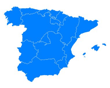
Accurate map of Spain
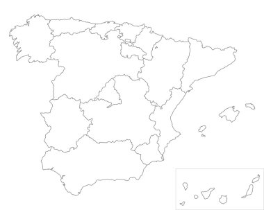
Map of Spain

Map of Spain

Spain administrative and political vector map with flags

Accurate map of Spain

Blue map of Spain

Map of Spain

Spain map (colored by autonomous communities) with administrative divisions

Map of Spain

Detailed vector map of Spain with administrative divisions into autonomous communities and islands, vector illustration with the location of the country in Europe

Map of Spain

Spain, autonomous communities, gray political map. First-level administrative divisions with limited autonomy to 17 autonomous communities and the two cities Ceuta and Melilla. Illustration. Vector
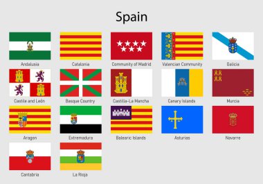
Set Flags of the communities of Spain, All Spanish regions flag collection
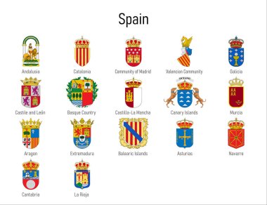
Coat of arms of the communities of Spain, All Spanish regions emblem collection

Map of Spain
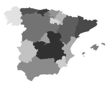
Map of Spain

Map of Spain

Map of Spain

Map of Spain

Map of Spain

Map of Spain

Map of Spain

Map of Spain

3d map of Castilla-La Mancha is a region of Spain

Accurate map of Spain

Map and flag of Spain

Map of Spain

Accurate map of Spain

Accurate map of Spain

Castile-La Mancha blank detailed outline map set

Basque Country, Canary Islands, Cantabria, Castile and Leon, Castilla-La Mancha outline maps
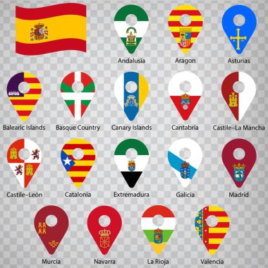
Seventeen flags of the Autonomous Community of Spain - alphabetical order with name. Set of 2d geolocation signs like flags lands of Spain. Seventeen geolocation signs for your design, logo. EPS10.

Blue map of Spain and the islands, with administrative divisions into autonomous communities and islands, vector illustration on a white background
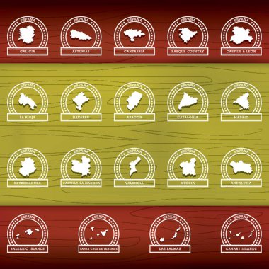
Collection of spanish communities and cities