
Vector poster map city New York
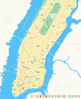
New York Map - Lower and Mid Manhattan.

Map of the city center. GPS map navigator concept. Vector illustration. Eps 10.

New York City Map with best quality

Vector detailed map New York

New York city map poster blue colors

Black and white New York City map silhouette background

Outline map of New-York

Vector map of the New York City NY, USA

High resolution outline map of New York City with NYC boroughs. Each boroughs placed on a separate layer.

Vector background with all streets of New York and surroundings map.

Black and white printable New York city map, poster design, vector illistration.
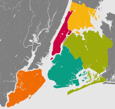
High resolution outline map of New York City with NYC boroughs. Each boroughs placed on a separate layer.

Vector map of the New York City NY, USA

New York City blue street map texture

New York colored vector map

Layered editable vector illustration of overview map of urban transportation in New York,America

New York City Map. Vector Illustration.

New York City Manhattan One Color Map, Vector Outline Version, ready for color change, Artprint

New York USA Map in Black and White Color. Vector Illustration. Outline Map.

New York City gray political map. Most populous city in the United States located in the state of New York. Manhattan, Bronx, Queens, Brooklyn and Staten Island. English labeling. Illustration. Vector

Vector map of the New York City NY, USA
Vector set 3 of 10 Highly detailed silhouettes of US state maps, divided into counties with names and territory nicknames

Layered editable vector illustration of the subway diagram of New York City,the United States of America.

Urban New York City map. Map of NYC, USA borders. Vector fill version including streets.

Vector highly detailed political map of New York with all regions, roads and rivers. All elements are separated in editable layers clearly labeled.EPS 10

Black simple detailed street roads map on vintage beige background of the quarter Manhattan borough of New York City, USA

Highly detailed vector map of Lower and Mid Manhattan in New York. It includes all streets, parks, names of subdistricts, points of interests, labels, neighborhoods.

New York City Manhattan Compass Design Map, Vector Outline Version, ready for color change, Artprint

New York City Big Area Map, Downtown Manhattan, Brooklyn, Jersay City in Very rich details. Very Large Vector File

Simple gray vector map with white borders of boroughs of the New York City, USA
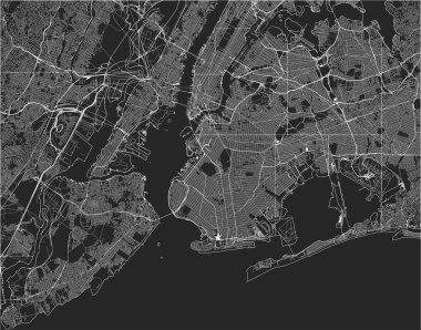
Vector map of the New York City NY, USA

Vector map of the New York City NY, USA

Manhattan nyc map lineart. Black and white hand drawn illustration. Icon sign for print and labelling.

Highly detailed vector map of Lower and Mid Manhattan in New York. It's includes: - all streets - parks - names of subdistricts - points of interests - labels - neighborhoods

Black and white New York city map background

Simple pastel vector map with black borders and names of boroughs of the New York City, USA

Detailed borough map of Manhattan New York city, vector poster or postcard for city road and park plan

Vector map of the New York City NY, USA

Vector background with all streets of New York and surroundings map.

Illustrated map of New York city. Travel map. Vector illustration

Vector map of the New York City NY, USA

Simple overview map of New York City, United States

Vector map of the New York City NY, USA

New York USA City Map in Retro Style. Outline Map. Vector Illustration.

Detailed borough map of Manhattan New York city, monochrome vector poster or postcard city street plan aerial view

Guide to New York. illustrated city map with main streets and landmarks. Tourist route. Editable Vector Illustration.

Vector map of the New York City NY, USA

Illustration vector of New York city map. Eps 10 file.

Vector map of the New York City NY, USA
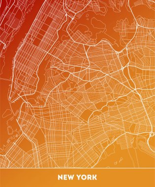
Vector city map of New York with well organized separated layers. Vector illustration.

New York Manhattan Illustration Map.

New York set of diffrent landmarks

Yellow and blue abstract New York map background

New York City, political map. Most populous city in the United States, located in the state of New York. Manhattan, Bronx, Queens, Brooklyn and Staten Island. English labeling. Illustration. Vector.

Detailed borough map of Manhattan New York city, color vector city street plan, printable travel poster or postcard

New York set of diffrent landmarks
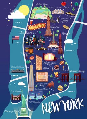
New York Manhattan Illustration Map.

Simple high detailed map of Long Island New York, USA. Vector illustration

Cartoon Map of New York with Legend Icons

New York big apple t-shirt graphic design with city map. Tee shirt print, typography, label, badge, emblem. Vector illustration.

New york map icon. New york icon vector

New york ny state shape simplified silhouette

New York set of diffrent landmarks

Vector background with all streets of New York and surroundings map.

Empire State Building NY , USA monument landmark brochure Flat style and typography vector

New York map vector design templates isolated on white background

Black simple detailed street roads map on vintage beige background of the quarter Brooklyn borough of New York City, USA

Streets of Manhattan - outline map.
Blue similar New York map. New York map blank. New York map vector. New York map flat. New York map template. New York map object. New York map eps. New York map infographic. New York map clean.

New York City. Travel map and vector landscape of buildings and famous landmarks. Vector illustration.

New York city t-shirt design with NYC map. Typography graphics for tee shirt and apparel print with New York map and slogan. Vector illustration.
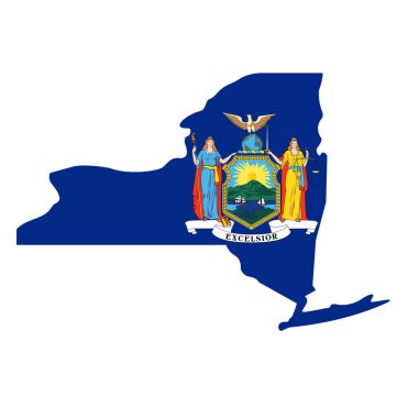
New york ny state flag in map shape silhouette

T-shirt and apparel vector design with the Statue of Liberty and New York skyline, print, typography, poster, emblem.

New york t-shirt and apparel vector design, print, typography, poster, emblem, stamp

Manhattan city flat vector collection illustration. New York Manhattan culture retro symbols for icons, design, website, presentation, cards, icons.

Vector map neighborhoods of Manhattan

A large and detailed map of the State of Kansas with all counties and county seats.

Kansas, KS, political map with capital Topeka, important rivers and lakes. State in the Midwestern United States of America nicknamed The Sunflower State, also The Wheat or The Jayhawker State. Vector

US Statue of Liberty. Set, Template, New York City Landmark. Poster sculpture, illustrations. Green logo on a white background. American symbol. Use presentations, text, emblems, labels, logo, sticker, hudson, tourism, postcards, travel, woman,vector

Illustrated Map of New York with cute and fun hand drawn characters, plants and elements. Color vector illustration.

South Brooklyn map, New York city, streets and district. City map. Usa

Vector city map of New York with well organized separated layers. Vector illustration.

Vector map of the New York City NY, USA
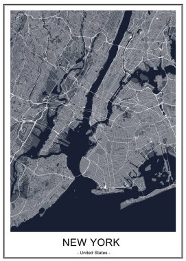
Vector map of the New York City NY, USA

Map of Ny-York city

High resolution map of New York City with NYC boroughs.

New, york, map, city, manhattan, vector, street, usa, downtown, travel, urban, region, america, united, states, illustration, road, graphic, river, plan, highway, transport, traffic, cartography, way, lane, atlas, avenue, topography, crossroad

Vector graphic flat icons and images representing the United States of America.

Vector map of the New York City NY, USA

Vector map of the New York City NY Manhattan, USA

New York City Manhattan Two Tone Map, Vector Outline Version, ready for color change, Artprint

New York City Golden Map. Vector Illustration.

Large vector map of New York ultra detailed editable

New York vintage t-shirt graphic design with city map. Tee shirt print, typography, label, badge, emblem. Vector illustration.

Vector background with all streets of New York and surroundings map in isometric view

New York USA City Map in Black and White Color. Vector Illustration. Outline Map.

Map downtown Manhattan World Trade Center, New York City

Nyc park vector illustration in cartoon top view style.

New York USA Map in Retro Style