
Alabama counties vector map with USA map colors national flag
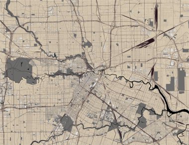
Vector map of the city of Houston, U.S. state of Texas, USA
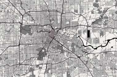
Vector map of the city of Houston, U.S. state of Texas, USA

Illustration of State of New York, USA
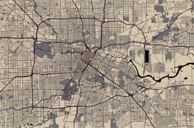
Vector map of the city of Houston, U.S. state of Texas, USA

Vector map of the city of Houston, U.S. state of Texas, USA

Vector map of the city of Houston, U.S. state of Texas, USA
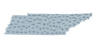
Tennessee, subdivided into 95 counties, gray political map with borders and county names. Landlocked state in the Southeastern region of the United States, nicknamed The Volunteer State. Illustration

Map of Montgomery in Maryland

Set of icons of all counties and county seats of the State of Alabama.
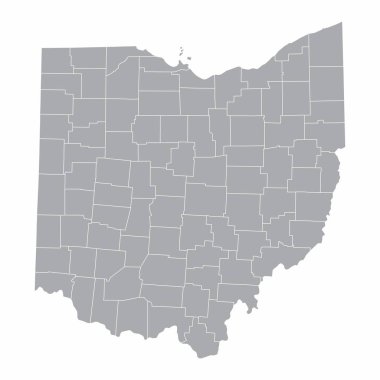
A map of the Ohio State and its counties

Alabama State on USA Map. Alabama flag and map. US States.

Road map of the US American State of Texas.

Road map of the US state of Alabama
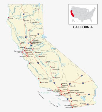
Road map of the US American State of California.

Highly detailed vector silhouettes of US state maps, Division United States into counties, political and geographic subdivisions of a states, South Atlantic and East South Central - Alabama, Georgia, Florida - set 10 of 17

High Quality map of Pennsylvania is a state of United States with borders of the counties

Alabama, U.S. state, subdivided into 67 counties, multi colored political map with capital Montgomery, borders and county names. State in the Southeastern region of United States. Yellowhammer State.

Map of Alabama state designed in illustration with the counties and the county seats.

High Quality map of North Carolina is a state of United States with borders of the counties
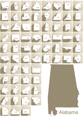
Set of icons of all counties and county seats of the State of Alabama.

Highly detailed physical map of the US state of Alabama

High Quality map of U.S. Virgin Islands is a state of United States with borders of the counties

High Quality map of Alabama is a state of United States with borders of the counties
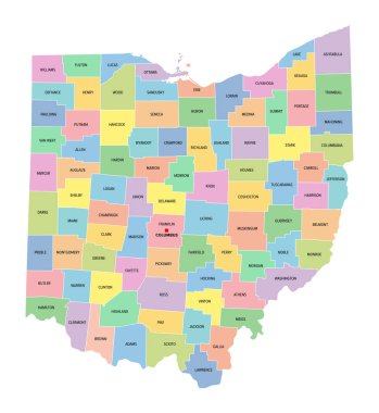
Ohio, U.S. state, subdivided into 88 counties, multi colored political map with capital Columbus, borders and county names. State in the Midwestern region of USA. Buckeye State, and Heart Of It All.

Map of Alabama state, USA. Set of Alabama maps with outline border, counties and US states map. Black and white color vector illustration.

Doodle vector map of Alaska state of USA. With legends of state and capital

Alabama State Map with cities, towns, lakes and rivers.

Alabama State Map and location pin icons. Vector illustration.

Road map of the US American State of Alabama

Montgomery Alabama USA City Map in Retro Style. Outline Map. Vector Illustration.

Doodle vector map of Illinois state of USA. With legends of state and capital

3d sate with speech bubble on silver map

Vector map of the city of Houston, U.S. state of Texas, USA

Blue abstract outline of Alabama map

Alabama, AL, political map with the capital Montgomery, cities, rivers and lakes. State in the Southeastern region of the United States, nicknamed Yellowhammer State, Heart of Dixie, and Cotton State.

Urban vector city map of Montgomery, USA. Alabama state capital

Vector map of United States with indication of Alabama

Vector map of the city of Houston, U.S. state of Texas, USA

Vector map of the city of Houston, U.S. state of Texas, USA

Outline map of Alabama white background. USA state, vector map with contour.

Vector map of the city of Houston, U.S. state of Texas, USA

Set of icons of all counties and county seats of the State of Alabama.

Set of Colorado state with flag of America and map pointer

A large and detailed map of the State of Alabama with all counties and county seats.
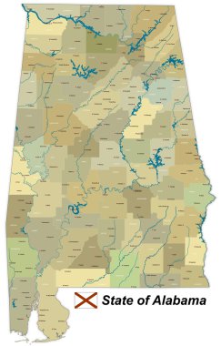
A large and detailed map of the State of Alabama with all counties and county seats.

Vector map of the city of Houston, U.S. state of Texas, USA

Polygonal abstract USA map with magnified Alabama state. Alabama state map and flag. US and Alabama vector map. Vector Illustration.
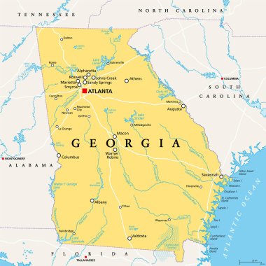
Georgia, GA, political map, with capital Atlanta and largest cities. State in the southeastern region of the United States of America. Peach State. Empire State of the South. Illustration. Vector.
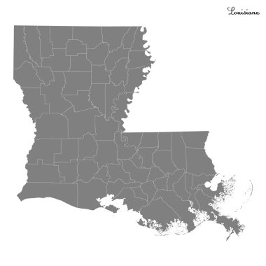
High Quality map of Louisiana is a state of United States with borders of the counties

A large and detailed infographic of Alabama.

High Quality map of Oklahoma is a state of United States with borders of the counties

Alabama vector maps counties, townships, regions, municipalities, departments, borders

Alabama state map polygonal with spot lights places

Vector illustration map of Alabama

Shiny vector stickers in form of Alabama state, USA

Illustration of State of Alabama, USA

Highly detailed vector illustration of Alabama. With American flag.
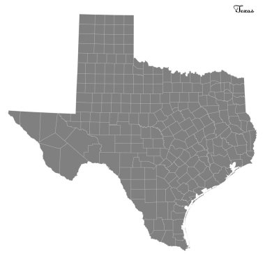
High Quality map of Texas is a state of United States with borders of the counties

Road map of the US state of Alabama with flag
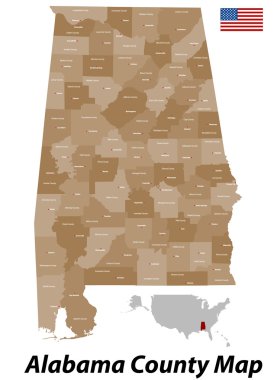
The state of Alabama with all counties and cities.

Alabama, state of USA - solid black silhouette map of country area. Simple flat vector illustration.

Vector map of the city of Houston, U.S. state of Texas, USA

Alabama - US state flat collection. Flags of different shaped twelve flat icons. Vector illustration set

USA map with magnified Alabama State. Alabama flag and map.

Alabama - vector map

Vector illustration map of Alabama
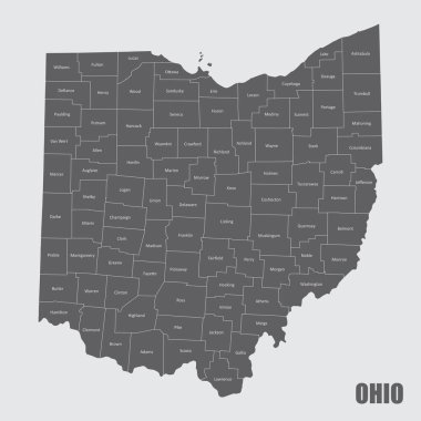
A map of the Ohio State and its counties with labels
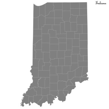
High Quality map of Indiana is a state of United States with borders of the counties

Alabama blank outline map set
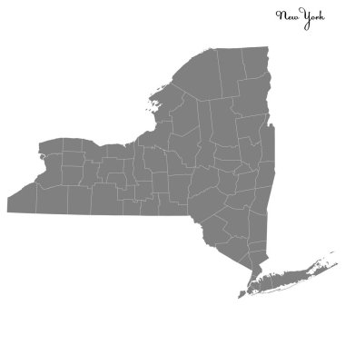
High Quality map of New York is a state of United States with borders of the counties

Flat map of Alabama in the U.S. for air travel by car and train. Vector illustration

Alabama heart with flag inside. Grunge vector graphic symbols
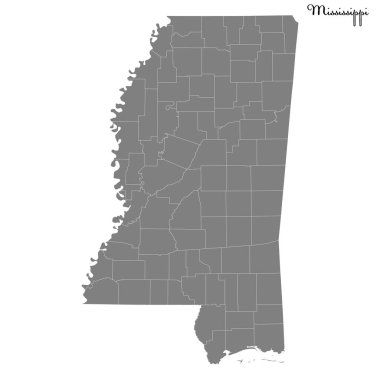
High Quality map of Mississippi is a state of United States with borders of the counties

Alabama state map, frame, and name.

High Quality map of Northern Mariana Islands is a state of United States with borders of the counties

Doodle vector map of Florida state of USA. With legends of state and capital

Red Alabama. Vector illustration

Grunge rubber stamp set with names of Alabama cities, vector illustration

Vector illustration of vintage sticker in form of Alabama state, USA

Alabama flag, vector sketch hand drawn illustration on dark grunge background

A state map silhouette shape with the text ALABAMA and the names of the major cities over a white background

Grunge rubber stamp with name and map of Alabama, USA, vector illustration

Shiny icon in form of Alabama state, USA - vector illustration
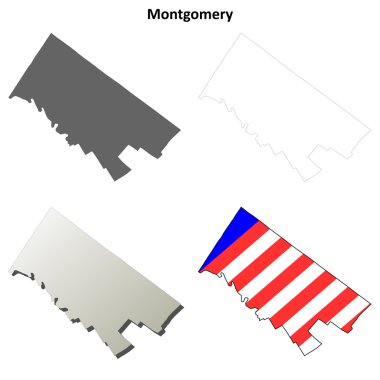
Montgomery County, Pennsylvania blank outline map set

Flag of Alabama vector illustration

Set of Alabama shape, united states of america. Flat concept icon symbol vector illustration .

Doodle map of California state of USA. With legends of state and capital

Grunge rubber stamp with name and map of Alabama, USA

Stamp set with the name and map of Alabama, United States, vector illustration

Alabama State Map Creative Vector Typography Lettering Composition with flowers. Design Concept

Alabama USA state map vector tag cloud illustration

Label set with names of Alabama cities, vector illustration

Alabama state map vector silhouette illustration. United States of America flag over Alabama map. USA, American national symbol of pride and patriotism. Vote election campaign banner.

Alabama State Map Creative Vector Typography Lettering Composition with flowers. Design Concept

Alabama car license plate pattern, letters, numbers and symbols, vector illustration, USA

Lubbock texas on blue background

Montgomery County (North Carolina) blank outline map

Maryland, U.S. state, gray political map with borders and county names. State in the Mid-Atlantic region of the USA, subdivided into 23 counties and the independent City of Baltimore. Old Line State

Alabama Map Pin with National Flag on Open World Map.