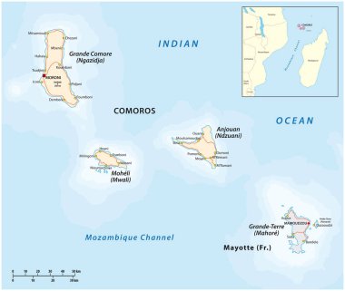
Map of the Union of the Comoros and Mayotte

Zoom on Comoros Map and Flag. World Map
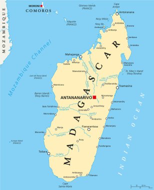
Madagascar Political Map with capital Antananarivo, national borders, important cities, rivers and lakes. English labeling and scaling. Illustration.

Madagascar highly detailed physical map

Political Map of Comoros with capital Moroni, important cities and the islands Grande Comore, Moheli and Anjouan. With the archipelago Mayotte, an oversea department of France. English labeling and scaling.
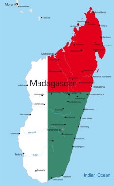
Abstract vector color map of Madagascar country colored by national flag
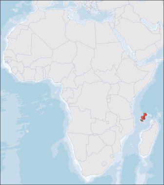
The Comoros is an island country in the Indian Ocean located at the northern end of the Mozambique Channel off the eastern coast of Africa

Asia centered world map with magnified glass on Comoros. Focus on map of Comoros on Pacific-centric World Map.

Black map of Comoro Islands with names, design blackboard vector
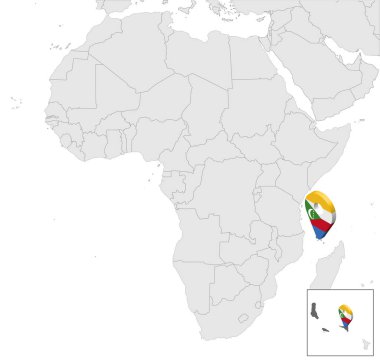
Location Map of Comoros on map Africa. 3d Comoros flag map marker location pin. High quality map Union of the Comoros. Africa. EPS10.

Administrative division of the Union of the Comoros
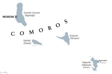
Comoros political map with capital Moroni and French island Mayotte. Union and sovereign archipelago island nation in the Indian Ocean. Gray illustration on white background. English labeling. Vector.
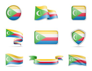
Comoros flags collection. Flags and outline of the country vector illustration set

Madagascar highly detailed vector map with administrative regions,main cities and roads.

Comoros map on a world map with flag and map pointer

Union of the Comoros - vector map

Madagascar political map with capital Antananarivo. Republic and island country in the Indian Ocean. Former Malagasy Republic. Gray illustration isolated on white background. English labeling. Vector.

Comoros travel destination grand vector illustration.

Flag of Qatar in the form of a glossy textured label or bookmark. Vector illustration.
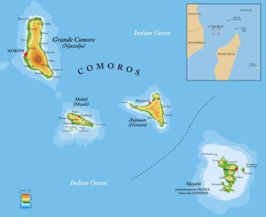
Comoros islands highly detailed physical map

Road map of Grande Comore Island, Comoros

Comoros Location Highlighted on Map with Flag Icon.

Moroni (Utah) blank outline map

Comoros Map Pin with National Flag on Open World Map.

Detailed Comoros Map Collection with Outline, Silhouette, Islands, and Flag Overlay Variations

Comoros political map of administrative divisions - autonomous islands. 3D turquoise vector map with name labels.

Comoros political map of administrative divisions - autonomous islands. Grey blank vector editable map EPS.