
Vector set of travel to America
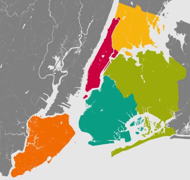
High resolution outline map of New York City with NYC boroughs. Each boroughs placed on a separate layer.
Travel infographics with data icons and elements

New York map, satellite view, the United States, illustration, houses, neighborhoods and streets

Travel infographics with data icons and elements
Map state of New York
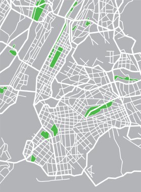
Vector illustration map of New York.

Detailed borough map of Manhattan New York city, vector poster or postcard for city road and park plan

Vector map of the New York City NY, USA

Empty vector map of New York City, New York, USA, printable road map created in classic web colors for infographic backgrounds.

New York City Big Area Map, Downtown Manhattan, Brooklyn, Jersay City in Very rich details. Very Large Vector File

Vector poster map city New York

New York city map poster blue colors
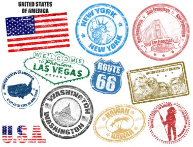
Set of grunge stamps with United States of America, vector illustration

Vector background with all streets of New York and surroundings map.

Vector detailed map New York

High resolution outline map of New York City with NYC boroughs. Each boroughs placed on a separate layer.

Map of New York

USA map and flag - highly detailed vector illustration. Image contains next layers. There are land contours, country and land names, city names, water object names, flag, navigation icons.
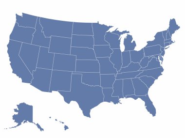
Vector map of the united states of america, each state is in seperate layer thus can be edited easily

Vector illustration map of New York.
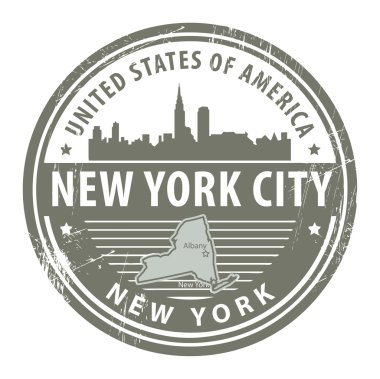
Grunge rubber stamp with name of New York, New York City

Sketch New York (United States of America) letter text map, New York map - in the shape of the continent, Map New York (state) - green and purple vector illustration

New York City Name (United States, North America) with black white city map illustration vector

New York city t-shirt design with NYC map. Typography graphics for tee shirt and apparel print with New York map and slogan. Vector illustration.

Detailed borough map of Brooklyn New York city, vector poster or postcard for city road and park plan

New york map stylized vector illustration
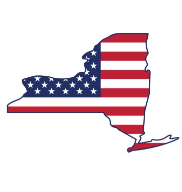
New york ny state shape with usa flag icon

Travel and tourism background. Famous buildings and monuments.

Greetings from New York USA. Retro style postcard with patriotic stars and stripes lettering and United States map in the background. Vector illustration.
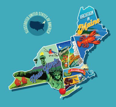
Illustrated pictorial map of Northeast United States. Includes Maine, New Hampshire, Vermont, Massachusetts, Connecticut, Rhode Island and New York. Vector Illustration.
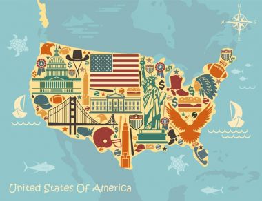
Stylized map of the United States with American symbols

USA states map with names of cities

Travel and tourism background

Seamless background with traditional symbols of architecture and culture of the USA

New York Manhattan Illustration Map.

Vintage stamp with text The Empire State written inside and map of New York, vector illustration

New York City Manhattan Compass Design Map, Vector Outline Version, ready for color change, Artprint

Shiny icon in form of New York state, USA - vector illustration
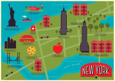
City Map of New York with New York Landmarks

Map of new york. map concept

Illustration of State of New York, USA

New York City Map with best quality

New York City Map, Cartography Map, Street Layout Map

Vector map of the New York City NY, USA

Urban New York City map. Map of NYC, USA borders. Vector fill version including streets.

Black and white New York city map background

Black and white New York City map silhouette background

New York tech map. Us state symbol in digital style. Cyber map of New York with us state name. Elegant vector illustration.

Detailed borough map of Brooklyn New York city, color vector city street plan, printable travel poster or postcard

Urban New York City map. Map of NYC, USA borders. Vector light stroke version including streets on dark background.

Yellow and blue abstract New York map background

New York USA City Map in Retro Style. Outline Map. Vector Illustration.

Simple pastel vector map with black borders and names of boroughs of the New York City, USA

New York state red on map of United states of America. US map 3d.

Highly detailed vector map of Lower and Mid Manhattan in New York. It's includes: - all streets - parks - names of subdistricts - points of interests - labels - neighborhoods

Vector highly detailed political map of New York with all regions, roads and rivers. All elements are separated in editable layers clearly labeled.EPS 10

Map of New-York state

Simple overview map of New York City, United States

New York City gray political map. Most populous city in the United States located in the state of New York. Manhattan, Bronx, Queens, Brooklyn and Staten Island. English labeling. Illustration. Vector

Black and white printable New York city map, poster design, vector illistration.

Map of New York state designed in illustration with the counties and the county seats

New York city, satellite map view, map ,roads and buildings

New York City Map. Vector Illustration.
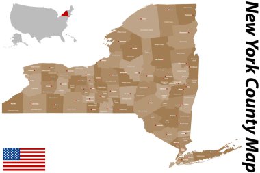
A large and detailed map of the State of New Mexico with all counties and main cities.
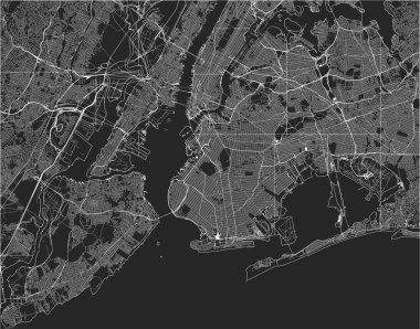
Vector map of the New York City NY, USA

New York city map with boroughs grey illustration silhouette shape

11 of 50 sets, US State Posters with name and Information in 3 Design Styles, Detailed vector art print New York map

New York City, political map. Most populous city in the United States, located in the state of New York. Manhattan, Bronx, Queens, Brooklyn and Staten Island. English labeling. Illustration. Vector.

Vector map of the New York City NY, USA
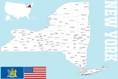
A large and detailed map of the State of New York with all counties and main cities.

Detailed borough map of Manhattan New York city, color vector city street plan, printable travel poster or postcard

Vector map of New York, USA, United States. Street map poster illustration. New York map art.

New York USA Map in Black and White Color. Vector Illustration. Outline Map.

Brooklyn map poster. New York city borough street map. Cityscape aria panorama silhouette aerial view, typography style. Jamaica Bay, the Atlantic Ocean, The Narrows, Upper New York Bay.

Highly detailed vector silhouettes of US state maps, Division United States into counties, political and geographic subdivisions of a states, Mid-Atlantic - Pennsylvania, New Jersey, New York - set 3 of 17

New York map. Detailed vector map of New York city administrative area. Cityscape poster metropolitan aria view. Dark land with white streets, roads and avenues. White background.

Detailed borough map of Brooklyn New York city, monochrome vector poster or postcard city street plan aerial view

Poster city skyline New York, Flat style vector illustration

New York - Pennsylvania - New Jersey - Delaware - Maryland Map labelled black illustration

New York City Map USA labelled black illustration

New York - vector - state of USA

New Jersey map, united states of america. Flat concept icon symbol vector illustration .

Vector map of the New York City NY, USA

Vector map of the New York City NY, USA

Detailed borough map of The Bronx New York city, color vector city street plan, printable travel poster or postcard

Vector map of the New York City NY, USA

Detailed borough map of Staten Island New York city, color vector city street plan, printable travel poster or postcard

Map of Westchester in New York

Vector map of the New York City NY, USA

New York map outline - US state shape sharp polygonal geometric style vector.

New York City Manhattan One Color Map, Vector Outline Version, ready for color change, Artprint

Vector map of the New York City NY, USA

High Quality map of New York is a state of United States of America with borders of the counties

Vector map of the New York City NY, USA

New York Green Map Vector Design Template

Layered editable vector illustration of overview map of urban transportation in New York,America

New York, state of USA - solid black silhouette map of country area. Simple flat vector illustration.

New York US Map. NY USA State Map. Black and White New Yorker State Border Boundary Line Outline Geography Territory Shape Vector Illustration EPS Clipart

Vector background with all streets of New York and surroundings map.