
Turkey blank detailed outline map set

Blue-gray detailed map of Turkey and administrative divisions and location on the globe. Vector illustration

Detailed road vector map of Turkey and colorful map pointers with separated layers.

Vector map of Caucasus States Armenia and Azerbaijan

Map of Turkey Turkish flag painted with color symbols of the moon and stars on a white background

An Illustrated Country Shape of Turkey
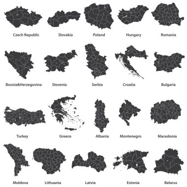
Vector maps of european countries

Turkey map with Turkish flag vector illustration - map, emblem, shadow are on separate layers, you can easily edit it

Turkey country thin black outline. High detailed map. Vector illustration isolated on white background.
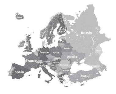
Europe vector high detailed political map with regions borders
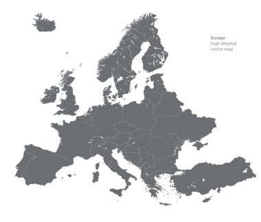
Vector high detailed map of Europe

Turkey marked by blue in grey World political map. Vector illustration.

Turkey skyline silhouette flat design vector illustration

Middle East Map - Vintage Detailed Vector Illustration

Amasya districts gumushacikoy, hamamozu, goynucek, tasova, suluova, merzifon map, Turkey

Abstract futuristic map of turkey. Circuit Board Design Electric of the region. Technology background. mash line and point scales on dark with map.

Abstract polygonal map Turkey with dots and lines, network connections

Turkey country silhouette with chromatic aberration effect.

Abstract polygonal map Turkey with glowing dots and lines, network connections

Map of Middle East or Near East transcontinental region with green highlighted Turkey, Syria, Iraq, Jordan, Lebanon and Israel. Flat map with thin white state borders.

Turkey country simplified map. Thick black outline contour. Simple vector icon

Turkish touristic attractions red isometric map poster with landmarks traditional food cultural and religious symbols vector illustration

Turkey political map of administrative divisions - provinces. Colorful 3D vector map with country province names and dropped shadow.

Highly detailed physical map of the Turkey,in vector format,with all the relief forms,regions and big cities.

Turkey flat design composition with mosque man and woman in ethnic clothes and historical landmarks icons vector illustration

Turkey flat colored icons set with historical landmarks flag and elements of national culture and traditional clothes isolated vector illustration

Turkey flat horizontal banners set of traditional cultural values and turkish breakfast icons compositions flat vector illustration

Turkey air travel abstract background with a highly detailed map of Turkey. Vector illustration.

Turkey vector map. Editable template with regions, cities, red pins and blue surface on white background.

Turkey flag on button
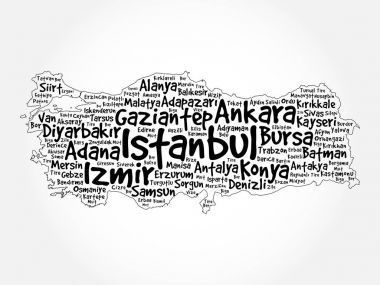
List of cities in Turkey word cloud map, concept background

Colored hand drawn doodle Turkey map. Turkish city names lettering and cartoon landmarks, tourist attractions cliparts. travel, trip comic infographic poster. Pamukkale, Ankara, beach, old city.

Abstract landscape of Istanbul with the main sights at sunset in the form of a map of Turkey

Hand carrying turkey Landmark Global Travel And Journey Infographic Bag. Vector Design Template.vector/illustration.
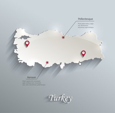
Turkey map blue white card paper 3D vector

Travel around the world. Turkey. Watercolor map

Map of administrative divisions of Turkey

Turkey map. Blank vector map of the Country with regions. Borders of Turkey for your infographic. Vector illustration.

Cartoon Turkey icons set. Universal Turkey icons to use for web and mobile UI, set of basic Turkey elements isolated vector illustration

Turkey travel map and Turkish words for cotton castle on the left side, saffron city in the middle and ruins of ani on the right side
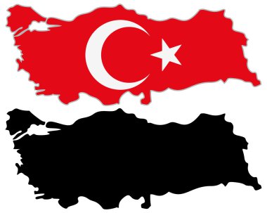
Turkey map flag on a white background. Vector illustrator.
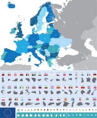
Vector high detailed map of Europe with flags

Turkey vector contour map with country flag

Turkey country map polygonal with spot lights places

Pen hand drawn Europe map vector on paper illustration

Turkey Flag Collection, 12 versions

Map of Turkey as an overview map in green

Large and detailed maps of all Turkey regions, subdivisions and islands.

Turkey vector set. Detailed country shape with region borders, flags and icons isolated on white background.
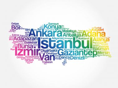
List of cities in Turkey word cloud map, concept background

Vector Turkey Map card paper on blue background, high detailed

Map of administrative divisions of Turkey

Caucasus Region Map - Detailed Vector Illustration

Dodecanese, political map. Group of Greek islands in the southeastern Aegean Sea and Eastern Mediterranean, off the coast of Turkey. Rhodes is the dominant island since antiquity. Illustration. Vector

Kurdish-inhabited area political map. Kurdish lands, also Kurdistan. Cultural region wherein Kurdish people form a prominent majority. Parts of Turkey, Syria, Iraq, Iran and Armenia. English labeling.

Old retro color map of Turkey with separated layers.

Istanbul county map - vector illustration. Turkish translation: Istanbul Ilceleri haritasi isimleriyle beraber.

Detailed world map with pinned enlarged map of Turkey and neighboring countries. Turkey flag and map.

Turkey map and flag in circle. Map of Turkey, Turkey flag pin. Map of Turkey in the style of the globe. Vector Illustration.

Turkey Urban vector political map

Map of administrative divisions of Turkey

City map Istanbul, travel vector poster design detailed plan of the city, rivers and streets
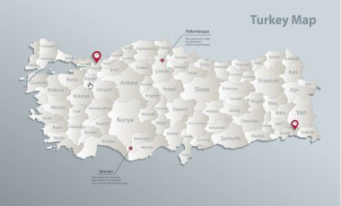
Turkey map, administrative division with names, blue white card paper 3D vector

Turkey vintage color map with separated layers.

Location of the Kurds on the map of the Middle East

Turkey detailed administrative map and flat icon set with separated layers.

Turkey map and flag - highly detailed vector illustration

Bosporus and Dardanelles, political map. The Turkish Straits, internationally significant and narrow waterways in Turkey. Passages, connecting the Aegean Sea and the Sea of Marmara with the Black Sea.

Turkey map and flag - highly detailed vector illustration

Turkey Map - Vintage Detailed Vector Illustration

7 religon of Turkey

Turkey map with borders, cities, capital and administrative divisions. Infographic vector map. Editable layers clearly labeled.
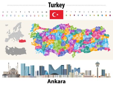
Turkey distrcts colored by provinces map. Ankara cityscape. Vector illustration

Turkey hand-drawn map. Colourful sketchy country outline. Eminent Turkey map with provinces. Vector illustration.

Vector map of the city of Istanbul, Turkey

Colorful Istanbul administrative and political vector map .

Aegean Sea Plate and Hellenic Arc, gray tectonic map. The Aegean or also Hellenic Plate, is a small tectonic plate, located in the eastern Mediterranean Sea, under southern Greece and western Turkey.

Turkey detailed administrative map with separated layers.
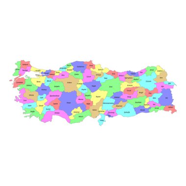
High quality colorful labeled map of Turkey with borders of the regions
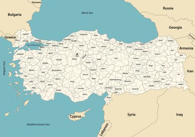
Turkey provinces and districts vector map with neighbouring countries and territories

Turkey map, administrative division, separate individual regions with names, color map isolated on white background vector

3d verctor map of cities and roads in Europe. Countries and their neighbors.
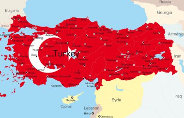
Vector map of Turkey country colored by national flag

Istanbul Turkey City Map in Retro Style. Outline Map. Vector Illustration.
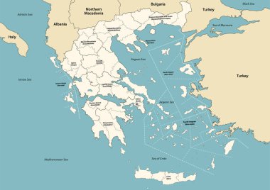
Greece provinces and regions vector map with neighbouring countries and territories

Political Map of Turkey with Flag

Editable template of detailed map of Turkey with information marks and country silhouette on world map, isolated on white

Turkey map blackboard chalkboard vector

Map of administrative divisions of Turkey

Turkey map and flag - highly detailed vector illustration

Turkey map and flag - highly detailed vector illustration

Vector map of the city of Istanbul, Turkey

Turkey region silhouettes set and blank map of the country isolated on white background. Vector illustration design

World map with magnified Turkey. Turkey flag and map.
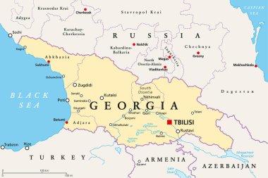
Georgia, political map, with capital Tbilisi, and international borders. Republic and transcontinental country in Eurasia, located south of the North Caucasus Federal District of Russia. Illustration.

Republic of Turkey - vector map

Black and white printable Istanbul city map, poster design, vector illistration.
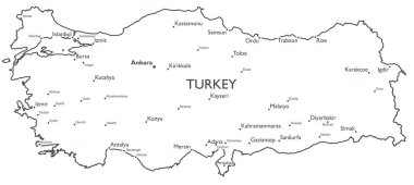
Monochrome contour map with city names

Abstract vector color map of Greece country coloured by national flag

Turkish history - The Ottoman Empire at its greatest extent in 1683 - overview map of its territory expansion and military acquisition in Europe, Asia and Africa - vector illustration.