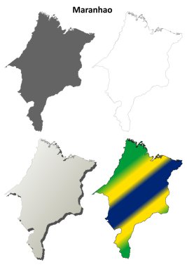
Maranhao blank outline map set on white
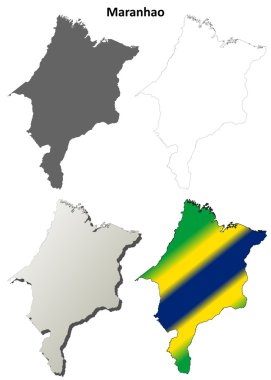
Maranhao blank outline map set
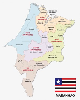
Maranhao administrative and political map with flag
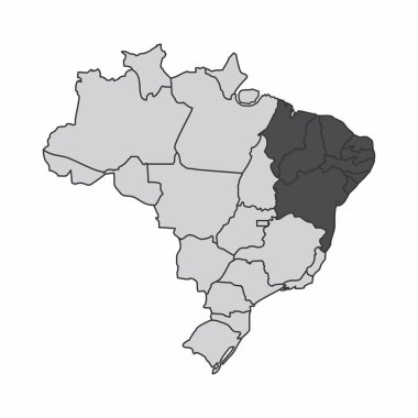
Illustration of a map of Brazil with the northeast region highlighted

The Northeast Region map and its location in Brazil
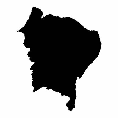
Brazil Northeast dark silhouette map isolated on white background

Brazil northeast region map isolated on white background
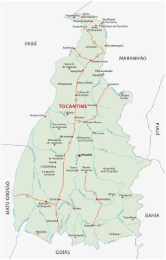
Road vector map of the brazilian state tocantins
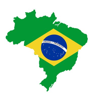
Green Brazil map flag vector silhouette illustration isolated on white background. South America country. Brazil flag.
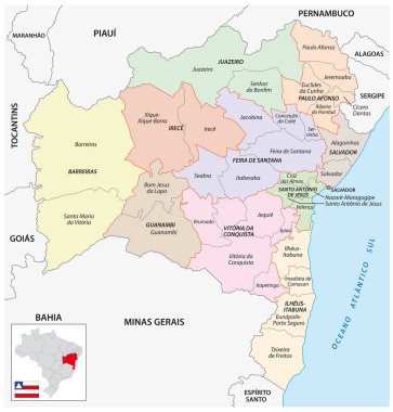
Map of the central and immediate geographic regions of Bahia
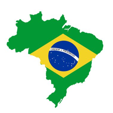
Green Brazil map flag vector silhouette illustration isolated on white background. South America country. Brazil flag.

Location of Maranhao on map Brazil. 3d Maranhao location sign similar to the flag of Maranhao. Quality map with regions of Brazil. Federal Republic of Brazil. EPS10.

The Maranhao State map and its location in Brazil

Green Brazil map flag vector silhouette illustration isolated on black background. South America country. Brazil flag.

Political map of Brazil with all states where Maranhao is pulled out
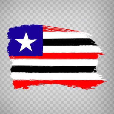
Flag of Maranhao from brush strokes. Federal Republic of Brazil. Flag Maranhao of Brazil on transparent background for your web site design, logo, app, UI. Brazil. Stock vector. EPS10.
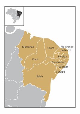
Map of the northeast region of Brazil with the identified states

Brazil northeast region map isolated on white background

Maranhao Flag, state of Brazil. Vector Illustration.