Black outline of Michigan map- vector illustration
Map of michigan. map concept
Michigan Icons

Blue abstract outline of Michigan map

Political map of United States od America, USA. Simple flat black outline vector map with black state name labels on white background.
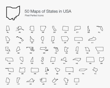
All 50 USA States Map Pixel Perfect Icons (Line Style). Vector icons of the complete United States of America states map.
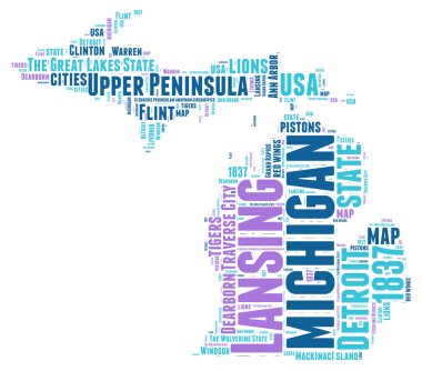
Michigan USA state map vector tag cloud illustration

Michigan state blank vector outline map set

Stylized green sketch map of Michigan
Michigan state map silhouette in the United States

Map of the U.S. state of Michigan

Map of the great lakes, silhouette

A large and detailed map of the State of Michigan with all counties and county seats.
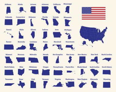
Outline map of the United States of America. 50 States of the USA. US map with state borders. Silhouette of the USA and flag. Vector illustration.

Michigan line art map - red, blue and white on black background
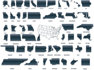
United States of America set in a nice plastic version.

Michigan blank outline map set

Michigan map outline - US state shape sharp polygonal geometric style vector.

Michigan Map Vector Design Template

Michigan MI State Border USA Map Solid

Illustrated pictorial map of Midwest United States. Includes Wisconsin, Michigan, Missouri, Illinois, Indiana, Kentucky and Ohio. Vector Illustration.
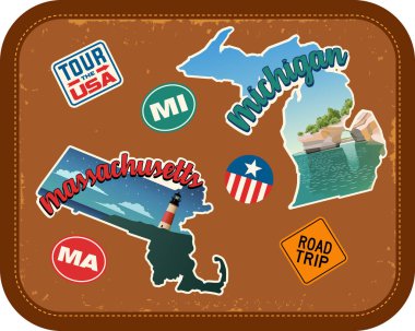
Massachusetts, Michigan travel stickers with scenic attractions and retro text on vintage suitcase background

Colorful political USA map isolated on a white background. Vector map of the United States
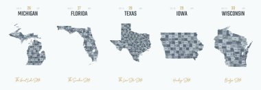
Vector set 6 of 10 Highly detailed silhouettes of US state maps, divided into counties with names and territory nicknames

Map of the U.S. state of Michigan
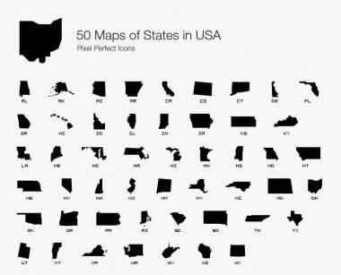
All 50 USA States Map Pixel Perfect Icons (Filled Style). Vector icons of the complete United States of America states map.

United States and Mexico political map of administrative divisions. Blank black outline vector map

Detroit skyline linear style with rainbow in editable vector file
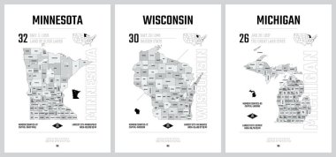
Highly detailed vector silhouettes of US state maps, Division United States into counties, political and geographic subdivisions of a states, The Great Lakes region - Minnesota, Wisconsin, Michigan - set 5 of 17

Detroit skyline linear style with rainbow in editable vector file

Michigan sketchy us state. Gorgeous hand drawn us state. Modern childish style Michigan vector illustration.

Outline map of Michigan white background. USA state, vector map with contour.
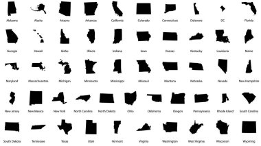
Vector illustrations of all fifty states of the united states of america with the names of each state written below

USA map. American map. United States of America map in flat and lines design eps 10

High detailed map of USA with states borders

United States of America map. USA map. Flat black and white vector illustration. American map for poster, banner, t-shirt. Design USA cartography map.

Chicago, building, skyscraper. ity panorama with yachts. Line drawing, vector

Continuous line Map United States of America Isolated on white Background

Map of United States of America, USA, with state postal abbreviations. Simple black outline map.

Michigan state shape outline simplified
Illinois state map silhouette in the United States

Detroit city skyline and landmarks silhouette vector

A black and white map of the United States

Michigan Map Vector Outline Design Template. Editable Stroke.

Detroit, Michigan skyline. Detailed vector silhouette
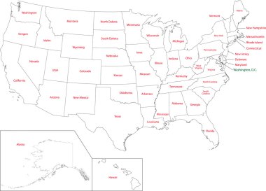
Outline USA map with states

Map of the U.S. state of Michigan on white background

Linear Chicago City Skyline. USA. Vector illustration

Michigan, Detroit. Flat design line vector illustration concept

USA map states. Vector line design. High detailed USA map. Labeled with postal abbreviatations. Stock vector. ESP 10

Linear Chicago City Skyline. USA. Vector illustration
Detailed silhouette of Chicago, Illinois

Michigan map shape, united states of america. Flat concept icon symbol vector illustration .

PrintDetroit skyline, Michigan, USA Vector illustration

Michigan state map silhouette icon

Lansing Michigan skyline Detailed vector silhouette

Michigan vector map. High detailed illustration. United state of America country .

A large and detailed map of the State of Michigan with all counties and main cities.

Chicago city outline icon. Elements of cities and countries illustration icon. Signs and symbols can be used for web, logo, mobile app, UI, UX on white background

Vector michigan map silhouette. Isolated vector Illustration. Black on White background.

Black map of the State of Michigan - vector illustration. Simple flat map State of Michigan.

Florida state map silhouette in the United States
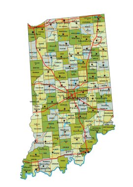
Highly detailed editable political map with separated layers. Indiana.

Map of Michigan state

High detailed Indiana road map with labeling.

Stylized blue sketch map of Michigan

Ohio map vector design templates isolated on white background

Outline map of the state of Michigan

Michigan - Highly detailed editable political map with labeling.
Indiana map vector design templates isolated on white background
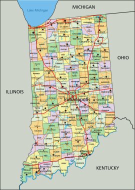
Indiana - Highly detailed editable political map with labeling.

Chicago skyline cityscape on white background. Chicago city skyline horizontal. Chicago city, USA silhouette. flat style.

Grand Rapids - Cityscape with white abstract line corner curve modern style on dark blue background, building skyline city vector illustration design

Graphic of the North American great lakes and their neighboring states

Michigan. United States Of America. Vector illustration. Watercolor texture.

Vector illustration of Chicago City, horizontal poster with art line design illuminated chicago city scape, panoramic contemporary concept with decorative font for word chicago on dark background.
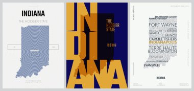
19 of 50 sets, US State Posters with name and Information in 3 Design Styles, Detailed vector art print Indiana map
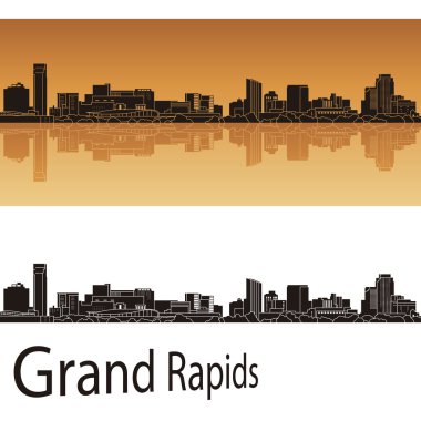
Grand Rapids skyline in orange background in editable vector file
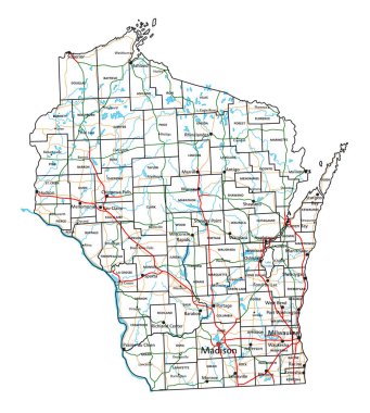
Wisconsin road and highway map. Vector illustration.
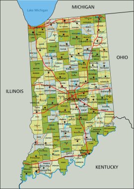
Highly detailed editable political map with separated layers. Indiana.
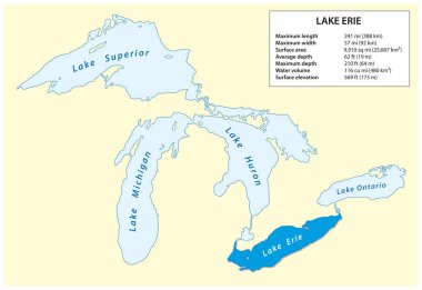
Information vector map of Lake Erie in North America

19 of 50 states of the United States with a name, nickname, and date admitted to the Union, Detailed Vector Indiana Map for printing posters, postcards and t-shirts

Ohio administrative and political vector map with flag
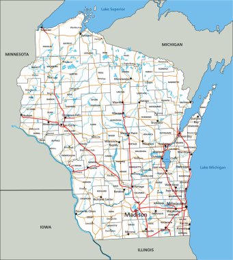
High detailed Wisconsin road map with labeling.

Illinois - Highly detailed editable political map with labeling.
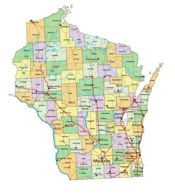
Wisconsin - Highly detailed editable political map with labeling.

High detailed Michigan physical map with labeling.

Road map of the US American State of michigan.

High detailed Illinois road map with labeling.

Vector Map of the U.S. state of Wisconsin
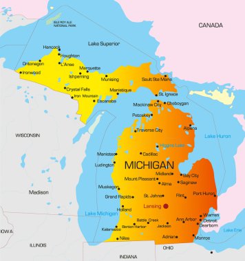
Vector color map of Michigan state. Usa

Outline Chicago city skyline with blue skyscrapers and copy space. Vector illustration

Minnesota map. Us state poster with regions. Old grunge texture. Shape of Minnesota with us state name. Superb vector illustration.

Vector Map of the U.S. state of Michigan

Welcome to Grand Rapids Michigan

Bright colored Michigan shape. Multicolor geometric style us state logo. Modern trendy design. Powerful vector illustration.

Minnesota poster in retro style. Map of the us state with regions in autumn color palette. Shape of Minnesota with us state name. Charming vector illustration.

Michigan poster in retro style. Map of the us state with regions in autumn color palette. Shape of Michigan with us state name. Captivating vector illustration.
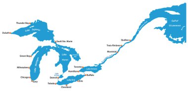
Map of the great lakes and st lawrence river with major cities

Information vector map of Lake Superior in North America