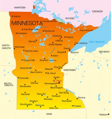
Vector color map of Minnesota state. Usa

Map of the U.S. state of Minnesota

Map of the U.S. state of Minnesota

Map of Minnesota State on a white background, Vector illustration

Minnesota, state of USA - solid black silhouette map of country area. Simple flat vector illustration.

Minnesota USA state map vector tag cloud illustration

USA map with magnified Minnesota State. Minnesota flag and map.
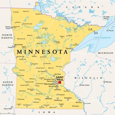
Minnesota, MN, political map, with capital Saint Paul and metropolitan area Minneapolis. State in the upper Midwestern United States. Nicknamed Land of 10,000 Lakes, North Star State and Gopher State.

Map of the U.S. state of Minnesota on a white background

Grunge rubber stamp with the name and map of Minnesota, vector illustration

Minnesota map on a white background. Vector illustration.

Minnesota map outline - smooth simplified US state shape map vector.

Minnesota mark. Travel rubber stamp with the name and map of Minnesota, vector illustration. Can be used as insignia, logotype, label, sticker or badge of USA state.
Grunge rubber stamp with name and map of Minnesota, USA

Minnesota map vector background

Outline map of Minnesota white background. USA state, vector map with contour.
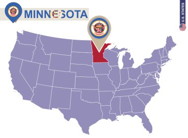
Minnesota State on USA Map. Minnesota flag and map. US States.

Minnesota state detailed editable map with cities and towns, geographic sites, roads, railways, interstates and U.S. highways. Vector EPS-10 file, trending color scheme

Minnesota - vector map of state of USA

Map of minnesota. map concept
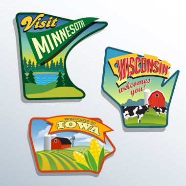
Midwest United States Minnesota Wisconsin Iowa vector illustrations designs

Outline map of Minnesota white background. USA state, vector map with contour.

Minnesota state. USA administrative map.

Minnesota high detailed map. Us state silhouette icon. Isolated Minnesota black map outline. Vector illustration.

Low Poly Map of Minnesota State (USA). Polygonal Shape Vector Illustration on White Background. States of America Territory.

Minnesota map on road sign. Square poster with Minnesota us state map on yellow rhomb road sign. Vector illustration.
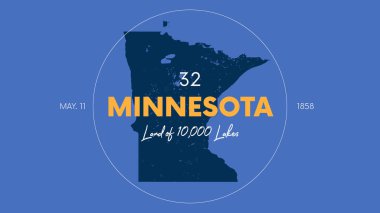
32 of 50 states of the United States with a name, nickname, and date admitted to the Union, Detailed Vector Minnesota Map for printing posters, postcards and t-shirts

Minnesota map. Map of the us state with beautiful geometric waves in red blue colors. Vivid Minnesota shape. Vector illustration.

Minnesota state map on United States of America map in perspective.
Minnesota line art map from colorful curved lines

Minnesota state map polygonal with spotlights places

Minnesota state map flat icon with long shadow EPS 10 vector illustration.

Map outline and flag of Minnesota and the state name. State seal on a medium blue field. The state of America with USA flag.

Minnesota blank outline map set

Missouri blank outline map set

Minnesota map icon. Minnesota icon vector

Minnesota map icon. Minnesota icon vector

Minnesota Map Outline. Vintage Discover the World Rubber Stamp with Minnesota Map. Hipster Style Nautical Rubber Stamp, with Round Rope Border. USA State Map Vector Illustration.

Vector map of the Minneapolis-Saint Paul metropolitan area, Minnesota, United States

Minnesota Map Pin with National Flag on Open World Map.

Minnesota (United States of America, USA, U.S., US) - map is designed cannabis leaf green and black, State of Minnesota map made of marijuana (marihuana,THC) foliage,

Abstract label with name and map of Minnesota, vector illustration
Minnesota Icons

Vector illustration of the Welcome to Minnesota green and white road sign

Minnesota map shape, united states of america. Flat concept icon symbol vector illustration .

Map of the U.S. state of Minnesota on a white background

Colorful USA map

Accurate map of Minnesota

Stamp set with the name and map of Minnesota, United States, vector illustration

Red Minnesota. Vector illustration
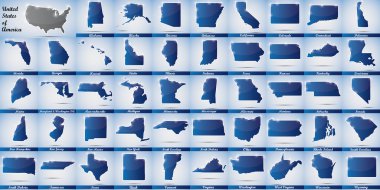
Icons in form of all states of the USA

Illustration of State of Minnesota, USA
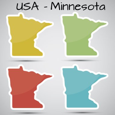
Shiny vector stickers in form of Minnesota state, USA

Map of Minnesota

Vintage stamp with text Land of 10.000 Lakes written inside and map of Minnesota, vector illustration

USA map vector illustration

Map of the U.S. state of Minnesota on a white backgroun
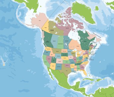
North America is a continent entirely within the Northern Hemisphere and almost all within the Western Hemisphere. The largest countries of the continent, Canada and the United States.

Accurate map of Minnesota

Minnesota map on heraldic sign

Vector illustration of a vintage sticker in form of Minnesota state, USA

Colorful USA map with states, and capital cities

Nice USA map isolated on white background

Map of Kittson in Minnesota
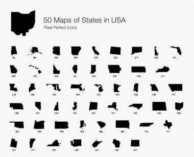
All 50 USA States Map Pixel Perfect Icons (Filled Style). Vector icons of the complete United States of America states map.
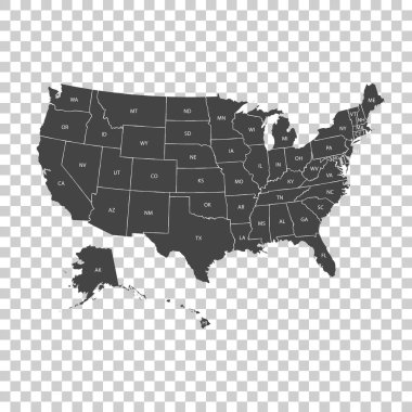
USA map with federal states. Vector illustration United states of America.
USA Map Silhouette on white background
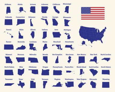
Outline map of the United States of America. 50 States of the USA. US map with state borders. Silhouette of the USA and flag. Vector illustration.
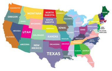
USA map with states

United States of America map. USA map. Flat black and white vector illustration. American map for poster, banner, t-shirt. Design USA cartography map.

Map of Houston in Minnesota

Urban vector city map of St Paul, USA. Minnesota state capital

White blank vector map of the Federal State of Minnesota, USA with black borders of its counties

Usa map from dots isolated on the white background
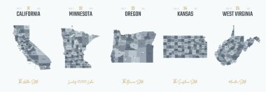
Vector set 7 of 10 Highly detailed silhouettes of US state maps, divided into counties with names and territory nicknames
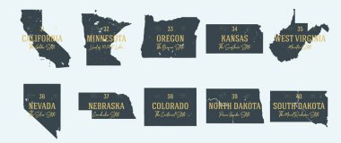
Set 4 of 5 Highly detailed vector silhouettes of USA state maps with names and territory nicknames
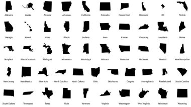
Vector illustrations of all fifty states of the united states of america with the names of each state written below
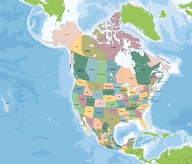
The largest countries of the North America are Canada, the United States and Mexico.

Urban vector city map of St Paul, USA. Minnesota state capital

USA map with borders and abbreviations for US states. Black color states with white inscriptions. Flat style vector illustration isolated on white background
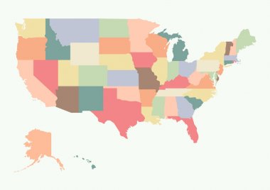
Vintage colorful USA map. Vector illustration

United States of America. 50 States. Vector illustration

United states of America political map with drop shadow on white background

Minnesota network map. Abstract polygonal US state map design. Internet connections vector illustration.

Road map of the US American State of Minnesota
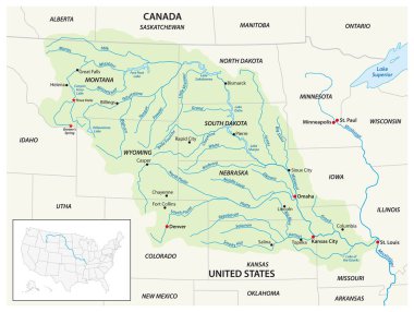
Vector map of the Missouri River Drainage Basin, United States, Canada

Colorful USA map with states and capital cities. Vector illustration

Highly detailed map of the United States. All states are separate elements and layered in alphabetic order
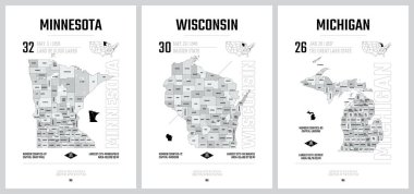
Highly detailed vector silhouettes of US state maps, Division United States into counties, political and geographic subdivisions of a states, The Great Lakes region - Minnesota, Wisconsin, Michigan - set 5 of 17

State map. USA silhouette in flat style. Vector isolated outline illusrtation

Collection of low-polygon maps of U.S. states with a state capital sign. Maps sorted alphabetically.
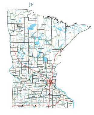
Minnesota road and highway map. Vector illustration.

Map of the Midwest United States of America

Minnesota state map with counties. Vector illustration.

Graphic of the North American great lakes and their neighboring states

Highly detailed political map of the USA including Alaska and Hawaii.
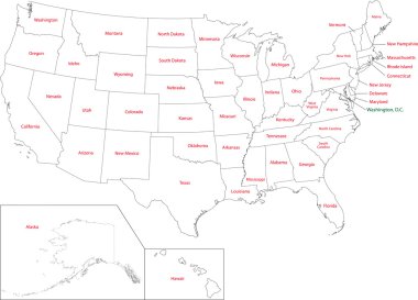
Outline USA map with states
USA map vector illustration art on white background

Great Lakes of North America, gray political map. Lakes Superior, Michigan, Huron, Erie and Ontario. Series of large interconnected freshwater lakes, on or near the border of Canada and United States.

US map with flags of states, on blue background