
Black map of Missouri map

Map of missouri. map concept

Missouri state blank outline map

Missouri state map flat icon with long shadow EPS 10 vector illustration.

USA states map with names of cities

Map of the State of Missouri and American flag. Map pointer with American flag

Outline map of Missouri white background. USA state, vector map with contour.

Background Kansas City, Missouri map, USA, white and light grey city poster. Vector map with roads and water. Widescreen proportion, digital flat design roadmap.
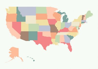
Vintage colorful USA map. Vector illustration

Colorful USA map with states and capital cities

Highly detailed map of the United States. All states are separate elements and layered in alphabetic order
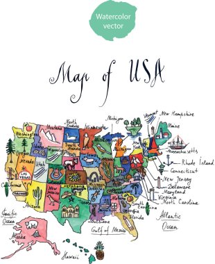
Map of attractions of United States of America, watercolor, hand drawn - vector Illustration

Missouri map. Blank vector map of the Us State with counties. Borders of Missouri for your infographic. Vector illustration.

North and South America high detailed vector map

Map of the U.S. state of Missouri vector illustration

Yellow map of Missouri with indication of largest cities

Map of the U.S. state of Missouri vector illustration

Abstract label with name and map of Missouri, vector illustration

Star label with map of Missouri, vector

Map of the U.S. state of Missouri

Label with name and map of Missouri

Vintage stamp with text The Show Me State written inside and map of Missouri, vector illustration

Colorful USA map with states, and capital cities
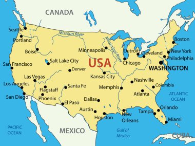
The United States of America - vector map

USA vector linear map. Thin line United States map.

Mississippi River Basin in the USA detailed editable vector map, trending color scheme
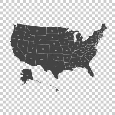
USA map with federal states. Vector illustration United states of America.

USA map with name of states. Vector illustration

Vector hand drawn stylized map of The United States of America. Travel illustration of USA shape with rivers and waters. Hand drawn lettering illustration. North America map element
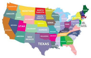
USA map with states

United States of America map. USA map. Flat black and white vector illustration. American map for poster, banner, t-shirt. Design USA cartography map.

Highly detailed political map of the USA including Alaska and Hawaii.

Administrative vector map of the states of the Southeastern United States
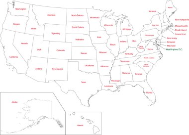
Outline USA map with states
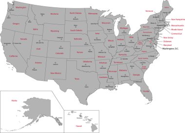
Gray USA map with states and capital cities
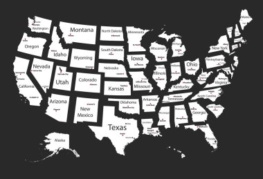
Usa states

United states of America political map with drop shadow on white background
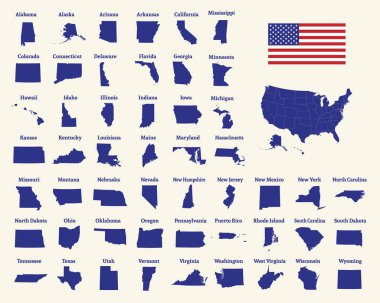
Outline map of the United States of America. 50 States of the USA. US map with state borders. Silhouette of the USA and flag. Vector illustration.
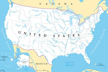
United States, rivers and lakes, political map. The main stems of the longest rivers, and the largest lakes of the United States of America, with the Great Lakes of North America. Illustration. Vector

Colorful USA map with name of states. Vector illustration
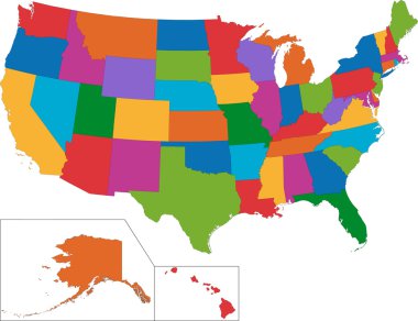
Colorful USA map with states

Accurate map of Missouri

Colorful USA map with states and capital cities. Vector illustration

USA map with federal states. Vector illustration

USA 50 States with State Names and Capital vector eps10
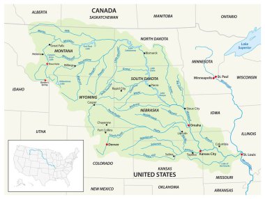
Vector map of the Missouri River Drainage Basin, United States, Canada
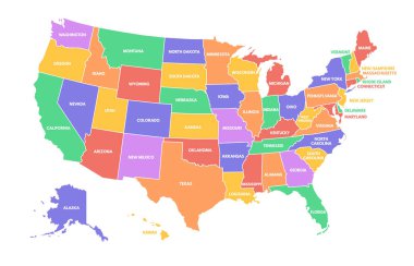
Colorful USA map. United States of America regions with different colors and names for travel and geography vector illustration infographic design. US land territory banner for education

Road map of the US American State of South Dakota

Kansas administrative and political map with flag

Map of the watersheds in the United States of America

High detailed Missouri physical map with labeling.

Map of the Midwest United States of America

USA map with states

USA map with states and capital cities

Accurate map of Missouri
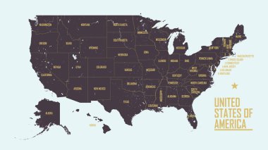
Detailed vintage map of United States of America with names of 50 states, vector illustration

Road map of the US American State of Montana

USA 50 States Colorful Map and State Names vector

Usa vector map with states names

Tennessee road vector map with flag

Road map of the US American State of north dakota

Missouri State on USA Map. Missouri flag and map. US States.

Map of the Midwest United States of America

North dakota road vector map with flag

Set 3 of 5 Highly detailed vector silhouettes of USA state maps with names and territory nicknames

Missouri state outline, administrative and political vector map in black and white
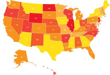
USA map with federal states. Vector illustration United states of America.

Kansas, KS, political map with capital Topeka, important rivers and lakes. State in the Midwestern United States of America nicknamed The Sunflower State, also The Wheat or The Jayhawker State. Vector

Missouri - Highly detailed editable political map with labeling.

North Dakota, ND, political map, with capital Bismarck. State in the upper Midwest subregion of the United States of America, nicknamed Peace Garden State, Roughrider State and Heaven on Earth. Vector

Very detailed vector file of all fifty states in 3d. Each state is grouped individually and labeled in the layers palette.
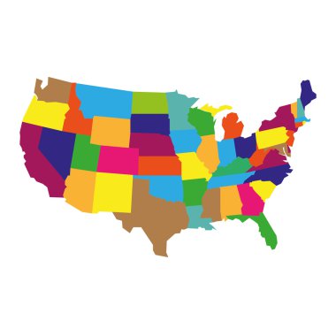
Colorful detailed USA Map, isolatedon white background

Tennessee road vector map

Colorful USA map

A large and detailed map of the State of Missouri with all counties and county seats.
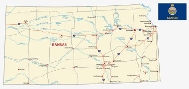
Kansas road map with flag

United States map with separated states, flag and geo
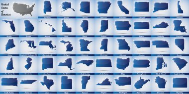
Icons in form of all states of the USA
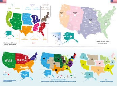
Vector maps of United States including regions and time zones maps

Missouri, Nevada travel stickers with scenic attractions and retro text on vintage suitcase background
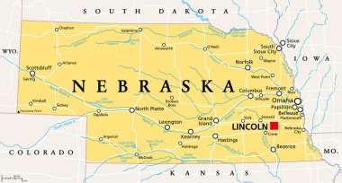
Nebraska, NE, political map with the capital Lincoln and the largest city Omaha. Triply landlocked State in the Midwestern subregion of the United States of America, nicknamed Cornhusker State. Vector
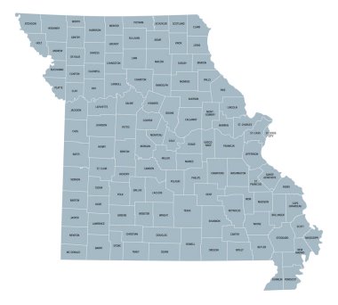
Missouri, subdivided into 114 counties and the independent city St. Louis, gray political map. State in the Midwestern region of United States, Show Me State, Cave State, and Mother of the West.
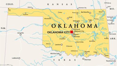
Oklahoma, OK, political map with capital Oklahoma City, important cities, rivers and lakes. US State in the South Central region, nicknamed Native America, Land of the Red Man, or Sooner State. Vector
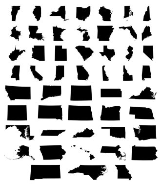
Set of US states maps vector illustration
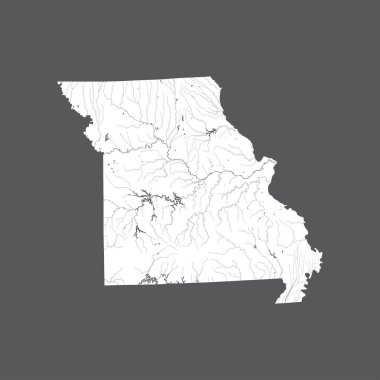
U.S. states - map of Missouri. Hand made. Rivers and lakes are shown. Please look at my other images of cartographic series - they are all very detailed and carefully drawn by hand WITH RIVERS AND LAKES.
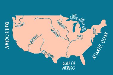
Vector hand drawn stylized map of The United States of America with rivers. Travel illustration of USA shape. North America map element

Highly detailed vector silhouettes of US state maps, Division United States into counties, political and geographic subdivisions of a states, West North Central - Kansas, Iowa, Missouri - set 6 of 17
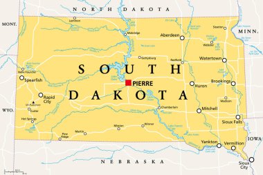
South Dakota, SD, political map, with capital Pierre, and largest city Sioux Falls. State in the upper Midwestern subregion of the United States of America, nicknamed The Mount Rushmore State. Vector.

Detailed political map of the USA including Alaska and Hawaii and flat map pointers.

Flagged maps of U.S. States, all states of United States of America sorted alphabetically. Vector map contour with flag.

The Dakotas, political map. Collective term for the U.S. states of North Dakota and South Dakota, in the Upper Midwest and North Central. Used to describe the Dakota Territory and collective heritage.

Street map of the US state arkansas

Saint Louis Missouri Map with neighborhoods and modern round shapes
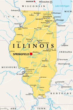
Illinois, IL, political map, with capital Springfield and metropolitan area Chicago. State in the Midwestern region of United States, nicknamed Land of Lincoln, Prairie State, and Inland Empire State.

Map of the United States cut paper vector illustration
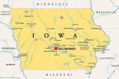
Iowa, IA, political map, with the capital Des Moines and most important cities, rivers and lakes. State in the Midwestern region of the United States of America, nicknamed The Hawkeye State. Vector.
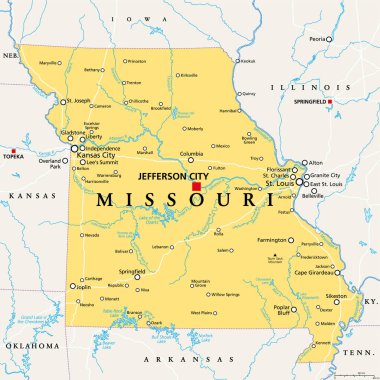
Missouri, MO, political map, with capital Jefferson City, and largest cities, lakes and rivers. State in Midwestern region of United States, nicknamed Show Me State, Cave State and Mother of the West.
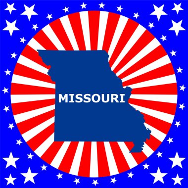
Map of the U.S. state of Missouri

Missouri, state of USA - solid black outline map of country area. Simple flat vector illustration.

USA Pictures with federal states map vector illustration EPS10.