
Highly detailed vector map of London. It's includes streets, parks, names of subdistricts, points of interests.

3D top view of a map with destination location point, Aerial clean top view of the day time city map with street and river, Blank urban imagination map, GPS map navigator concept, vector illustration

Collection of navigation icons - arrows, pointers and navigational equipment. Can be used for maps, plans, mobile apps. Usable for web or print.

Folded maps navigation with red color point markers design background, vector illustration
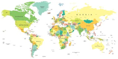
World map - highly detailed vector illustration.
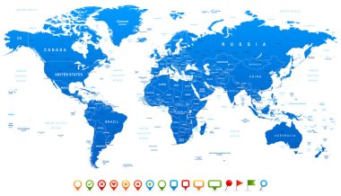
Highly detailed world map: countries, cities, water objects

Folded maps with pink color point markers, restaurant, vector illustration

Folded maps with green color point markers design background, vector illustration

Vector illustration of navigation concept with detailed blue compass and city map

City map illustration with location pins

Illustration of a symbolized printed earth and treasure map icon with countries, river, legends, and grunge texture on paper sheet

Vector Illustration
Provide easy access to your location with this Maps and Navigation Flat Vector Icons Set. These icons are so easy to integrate into your projects, you'll just love them.

Geological Research Icons Pack
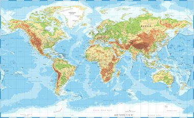
World Map Physical Topographic - Vector Detailed Illustration

Vector Illustration.
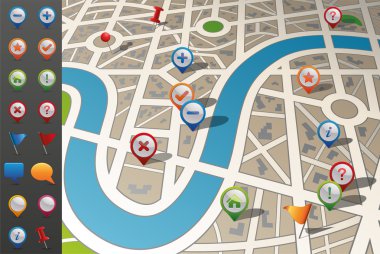
Street map in perspective including gps icons.

Main road throughout map. Navigation mapping technology for obtaining data on distance and turns of the path. Path from

City urban roads and streets abstract map downtown district map. Highlights points of interest. Isometric vector

City map. Town streets with park and river. Downtown gps navigation plan, abstract transportation urban. Vector maptown small road pattern texture.

Vector illustration of colorful GPS pointer with map

Multiple destinations, isometric. Gps tracking map. Track navigation pins on street maps, navigate mapping technology

Vector illustration of road map and compass in cartoon style isolated on white background.

Milan colored vector map

Abstract city map. City residential district scheme. City district plan. Vector illustration

Map with gps pointers and route or itinerary with arrow. Road to direction with marked streets. Pin on navigation map with path. Travel and location information, transport and search theme

World Map Color Political - Vector Detailed Illustration

World Map Vintage Political - Vector Illustration

Folded maps car navigation with red color point markers concept design on blue background, Eps 10 vector illustration

City Map With GPS Icons, Vector Illustration

Set Of Mapping Pins Icon, Isolated On White Background, Vector Illustration

City map of an imaginary city with five pins. Vector illustration

Map with GPS navigation and points on it. Finding the way concept. Vector illustration.

Vector illustration of World map and navigation icons.
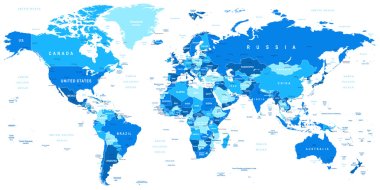
Highly detailed vector illustration of world map.

Asia map - highly detailed vector illustration.

Vector Illustration.

Spain map and flag - highly detailed vector illustration Image contains next layers: - land contours - country and land names - city names - water object names - flag - navigation icons

Provide easy access to your location with this Maps and Navigation Icons Vector Set! These icons are so easy to integrate into your projects, you'll just love them.

Collection of ten different shaped map pointers for navigational purposes or marking points of interests

Paper maps, navigation icons and the distance marked in red

Map with GPS navigation and points on it. Finding the way concept. Vector illustration.

Highly detailed road map of Germany with GPS pin pointers set. Vector illustration contains: land outlines, states and land names,town names,roads(highways) and railroads

Vector illustration of World map and navigation icons

Navigation map with buildings forest roads and lakes

Brussels color vector city map

Road map

Detailed vector World map of blue colors and colorful map pointers

Wind rose compasses flat vector symbols set

World maps with different specification. 1 - highly detailed: countries, cities, water objects 2 - country contours 3 - world contours
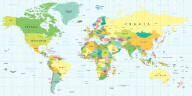
World Map - highly detailed vector illustration.

A folded map of an imaginary city with icons and pin template

Highly detailed world map: countries, cities, water objects.

Created with adobe illustrator. It is a vector file scale it to any size.

Vector mobile phone with map

USA map and flag - highly detailed vector illustration. Image contains next layers. There are land contours, country and land names, city names, flag, navigation icons.

Maps and navigation flat colored icon.

Asia map - highly detailed vector illustration.

Poland Map - Vintage Detailed Vector Illustration
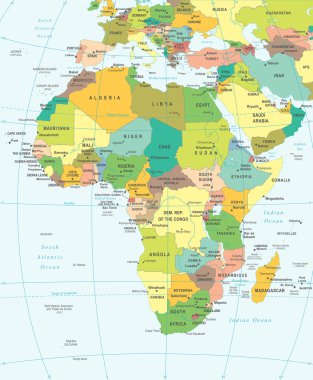
Africa map - highly detailed vector illustration.

Central America map - highly detailed vector illustration. Image contains land contours, country and land names, city names, water object names, navigation icons.

City map of an imaginary city with route from point A to point B. Vector illustration

Navigation marine compass or Wind Rose vector icon. Isolated symbols of nautical retro navigator compass with winds names of East, West, North and South arrows for ship travel design

Compass wind rose vector design element

Glasgow Downtown Vector Map Monochrome Artprint, Outline Version for Infographic Background, Black Streets and Waterways

United States - Highly Detailed Vector Map of the USA. Ideally for the Print Posters

Tunisia Map - Detailed Info Graphic Vector Illustration

New York City Map with best quality

Compass with wind rose sign, navigation illustration

Map of Argentina - highly detailed vector illustration

Baltic Sea Area Map - Vintage Detailed Vector Illustration

United States - Highly Detailed Vector Map of the USA. Ideally for the Print Posters

Lviv vector map. Detailed map of Lviv city administrative area. Cityscape panorama. Royalty free vector illustration. Outline map with buildings, water, forest. Tourist decorative road map.

Cambodia Detailed Map With Regions

North Korea map and flag - High Detailed Vector Illustration

Vector detailed map New York
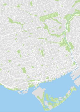
Toronto colored vector map
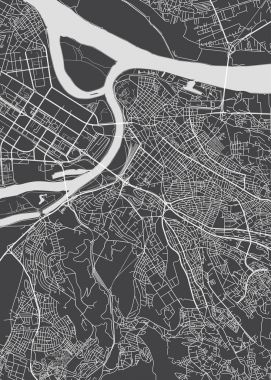
Belgrade city plan, detailed vector map
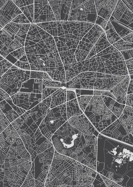
Bucharest city plan, detailed vector map

World Map - Highly Detailed Vector Map of the World. Ideally for the Print Posters

South America Map - Vintage Detailed Vector Illustration
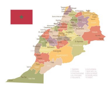
Morocco vintage map and flag - vector illustration

World Map black blank isolated on white. Vector illustration.

Vintage wind rose isolated vector illustration.

Caucasus Region Map - Detailed Vector Illustration

Illustration of a city map with gps icons on a tablet pc device screen, for localization app

Compass wind rose vector design element

World Map - Highly Detailed Vector Map of the World. Ideally for the Print Posters

Blue similar Eurasia map. Eurasia map blank. Eurasia map vector. Eurasia map flat. Eurasia map template. Eurasia map object. Eurasia map eps. Eurasia map infographic. Eurasia map clean. Eurasia map.

World Map Vintage Political - Vector Illustration - Layers

Caucasus Region Map - Detailed Vector Illustration

Compass wind rose design element. Isolated vector illustration on white background.

Southeast Asia map - highly detailed vector illustration.

GPS navigator vector

Global navigation icon in flat style. Compass gps vector illustration on white isolated background. Location discovery business concept.

Daegu map. Detailed map of Daegu city administrative area. Cityscape panorama. Royalty free vector illustration. Outline map with highways, streets, rivers. Tourist decorative street map.

Flat map with home pin. Vector location pointer icon. Markers on the Map.
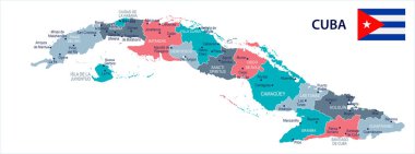
Cuba map and flag - High Detailed Vector Illustration

Green Map of North America (USA and Canada) on White Background With National and Federal State Borders

Compass. Wind rose on grunge background. Old compass for card design. Vector design element.