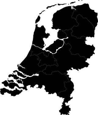
Black Netherlands map with regions and main cities

Western europe - vector maps of territories
Dotted Netherlands map on white

Kingdom of the Netherlands map

Colorful Netherlands map with regions and main cities
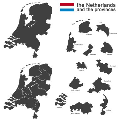
Silhouette of the netherlands and the regions

Netherlands map icon, vector illustration.

Netherlands blank detailed outline map set

The Netherlands map outline - smooth country shape map vector.
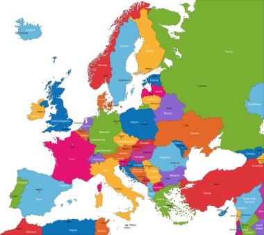
Colorful Europe map with countries and capital cities

Netherlands country black outline silhouettes in three different levels of smoothness. Simplified maps. Vector icons isolated on white background.

Gray Netherlands map with regions and main cities

European country the netherlands and all provinces

Netherlands - Highly detailed editable political map with separated layers.

Administrative division of the Kingdom of the Netherlands

Netherlands map with borders, cities, capital and administrative divisions. Infographic vector map. Editable layers clearly labeled.

Colorful Netherlands map with regions and main cities

South Holland province location within Netherlands 3d isometric map

Netherlands map with shadow effect

Netherlands Holland map flag glass water card paper 3D vector

Gray Netherlands map on light grey background. Gray Netherlands map - vector illustration.
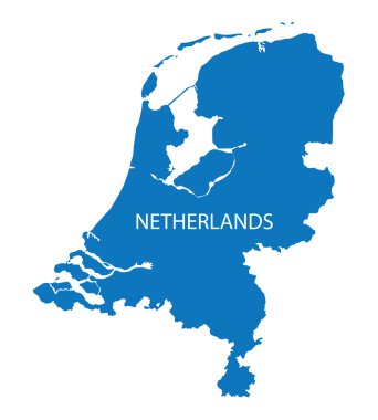
Blue map of Netherlands

Netherlands - Highly detailed editable political map with separated layers.

High detailed Netherlands physical map with labeling.

Highly detailed editable political map with separated layers. Netherlands.

High detailed Netherlands road map with labeling.

Outline Netherlands map with regions and main cities

Netherlands vector map. Editable template with regions, cities, red pins and blue surface on white background.
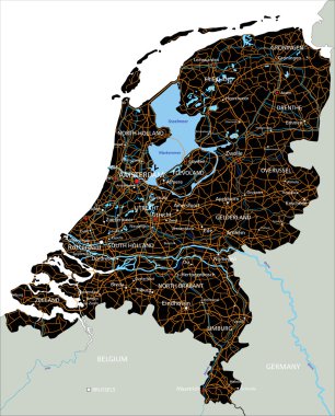
High detailed Netherlands road map with labeling.

Line art Netherlands map. continuous line europe map. vector illustration. single outline. Vector illustration

Netherlands Detailed Map With States

Vector detailed color Netherlands map

High detailed Germany road map with labeling. White.

Vector Netherlands Map card paper on blue background, high detailed

Outline maps of European countries collection, black lined vector map.

Highly detailed editable political map with separated layers. Netherlands.

Netherlands vector map. Black icon on white background.

Outline Europe map with countries
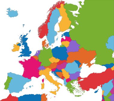
Colorful Europe map with country borders

Netherlands vector map with infographic elements, pointer marks. Editable template with regions, cities and capital Amsterdam.

Map of Netherlands - vector illustration

Netherlands map and flag, administrative division, separates regions and names individual region, design glass card 3D vector

Netherlands vector maps with administrative regions, municipalities, departments, borders

Zoom on Netherlands Map and Flag. World Map
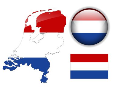
Holland, Netherlands flag, map and glossy button, vector illustration set.

High detailed Netherlands physical map.

European country set with map pointers

Vector illustration of black outline Netherlands map. .

Netherlands country silhouette. High detailed map. White country silhouette with dropped long shadow on beige background.

Netherlands region map with name labels. Perfect for business concepts, backgrounds, backdrop, poster, sticker, banner, label and wallpaper.

Map of Netherlands. map concept

Netherlands map in gray on a black background 3d

European country set with map pointers

European country set with map pointers

Map of the World with a magnifying glass aimed at Netherlands, searching Netherlands with loupe.

Netherlands map color line element. Border of the country.

Netherlands map. Abstract geometric map - connection dots mesh lines of the Netherlands.

Netherlands map polygon origami paper style. Simple geometric tech map of the Netherlands.

Location of Flevoland on map Netherlands. 3d location sign similar to the flag of Flevoland. Quality map with provinces of Netherlands for your design. EPS10.

Location of Gelderland on map Netherlands. 3d location sign similar to the flag of Gelderland. Quality map with provinces of Netherlands for your design. EPS10.

Location of Limburg on map Netherlands. 3d location sign similar to the flag of Limburg. Quality map with provinces of Netherlands for your design. EPS10.

Location of Overijssel on map Netherlands. 3d location sign similar to the flag of Overijssel. Quality map with provinces of Netherlands for your design. EPS10.

Location of Groningen on map Netherlands. 3d location sign similar to the flag of Groningen. Quality map with provinces of Netherlands for your design. EPS10.

Location of North Brabant on map Netherlands. 3d location sign similar to the flag of North Brabant. Quality map with provinces of Netherlands for your design. EPS10.

Location of Friesland on map Netherlands. 3d location sign similar to the flag of Friesland. Quality map with provinces of Netherlands for your design. EPS10.

Location of Utrecht on map Netherlands. 3d location sign similar to the flag of Utrecht. Quality map with provinces of Netherlands for your design. EPS10.

Location of Zeeland on map Netherlands. 3d location sign similar to the flag of Zeeland. Quality map with provinces of Netherlands for your design. EPS10.

Location of Drenthe on map Netherlands. 3d location sign similar to the flag of Drenthe. Quality map with provinces of Netherlands for your design. EPS10.

High Quality map of Limburg is a province of Netherlands, with borders of the Municipalities

Netherlands map vector illustration, scribble sketch Holland map

Limburg province blank outline map
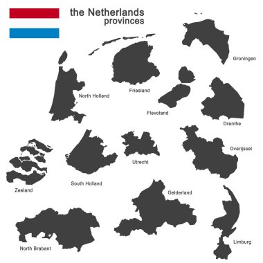
Silhouette of the netherlands and the regions

Black Location Map of the Dutch Province of North Holland within Grey Map of Netherlands

Rotterdam city plan, detailed vector map detailed plan of the city, rivers and streets
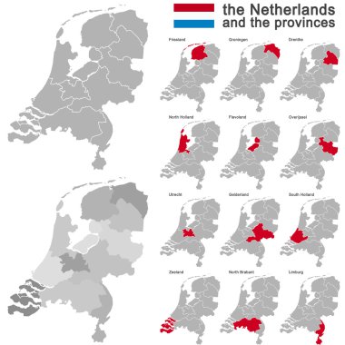
European country the netherlands and all provinces

Vector halftone Dotted map of Netherlands country for your design, Travel Illustration concept.

Amsterdam map with roads and rivers, city municipality administrative borders, art design with grey and blue on white background

Detailed negative navigation white lines urban street roads map of the Dutch regional capital city of ALKMAAR, NETHERLANDS on dark gray background

Utrecht map. Detailed map of Utrecht city administrative area. Cityscape panorama. Royalty free vector illustration. Outline map with highways, streets, rivers. Tourist decorative street map.
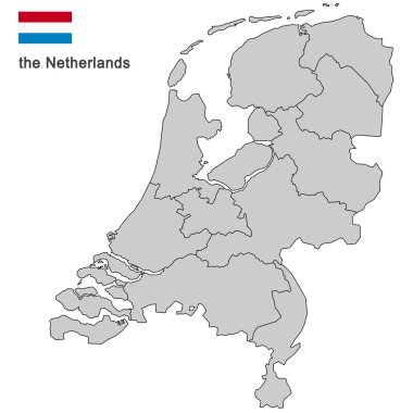
Silhouette of the netherlands and the regions

Detailed map of Netherlands

Map of Netherlands, sign silhouette. World Map Globe. Vector Illustration isolated on transparent background. Europe continent.

A large and detailed map of the Netherlands with all counties and main cities.

Map of Netherlands in gray on a white background

City map Rotterdam, travel vector poster design detailed plan of the city, rivers and streets

Netherlands Regions Map Vector

High quality colorful labeled map of Netherlands with borders of the provinces

Netherlands map design with 3D style. Blue Netherlands map and National flag. Simple vector map with contour, shape, outline, on white.

The Netherlands isolated map divided in provinces with labels

Location of South Holland on map Netherlands. 3d location sign similar to the flag of South Holland. Quality map with provinces of Netherlands for your design. EPS10.
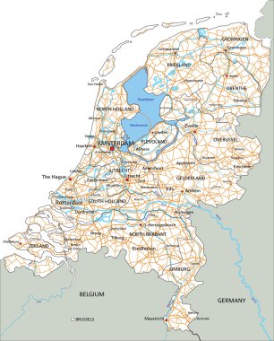
High detailed Netherlands road map with labeling.

Netherlands - Highly detailed editable political map with separated layers.

Netherlands map on a world map with flag and map pointer. Vector illustration

Highly detailed vector map of Netherlands with administrative regions,main cities and roads.

Holland map and words cloud with larger cities

High detailed Netherlands physical map with labeling.

The detailed map of Netherlands with regions or states and cities, capital. Administrative division.

High detailed Belgium road map with labeling.

Benelux single states political map. Region formed by the countries Belgium, Netherlands and Luxembourg. The name Benelux comes from the first letters of the countries. Illustration over white. Vector

Netherlands region map: blue with white outline and shadow on blue background. Detailed map of Netherlands regions. Vector illustration.