
European country the netherlands and all provinces
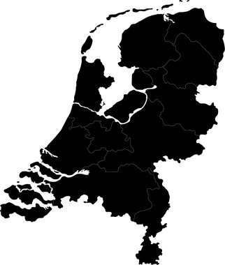
Black Netherlands map with regions and main cities
Dotted Netherlands map on white
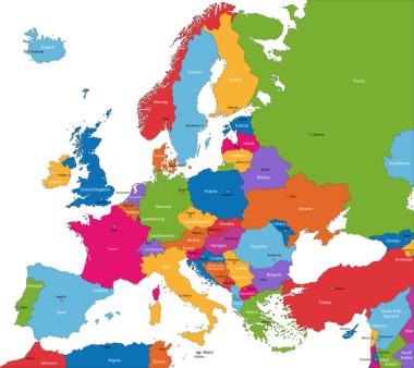
Colorful Europe map with countries and capital cities
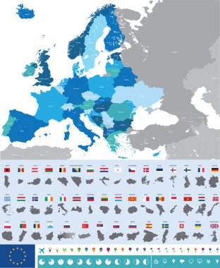
Vector high detailed map of Europe with flags

Kingdom of the Netherlands map

Colorful Netherlands map with regions and main cities
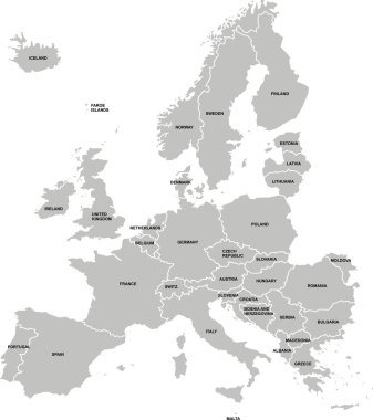
Nice europe map isolated on white background

Highly detailed editable political map with separated layers. Netherlands.

Western europe - vector maps of territories
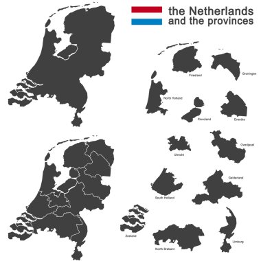
Silhouette of the netherlands and the regions

Netherlands blank detailed outline map set

Hex-tile Netherlands map. Vector halftone territorial scheme on a white background. Abstract Netherlands map concept is formed with honeycomb pixels.

The Netherlands map outline - smooth country shape map vector.

Netherlands Map mosaic of random dots in different sizes and ecological green color tints. Vector small spheres are organized into netherlands map mosaic. Ecology cartography map vector illustration.

Vector illustration - The Kingdom of the Netherlands

Netherlands country black outline silhouettes in three different levels of smoothness. Simplified maps. Vector icons isolated on white background.
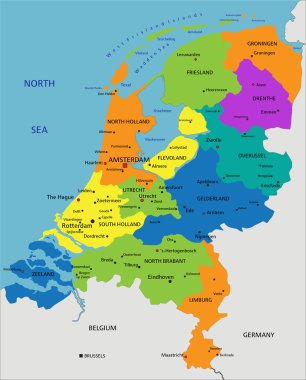
Colorful Netherlands political map with clearly labeled, separated layers. Vector illustration.

Detailed map of Europe
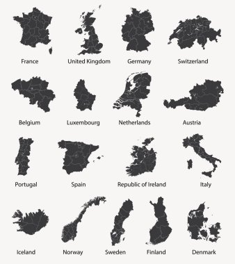
Vector set of european maps with region borders

3d map of Netherlands with borders of regions

Net irregular mesh Netherlands map. Abstract lines are combined into Netherlands map. Linear frame flat net in vector format.

Gray Netherlands map with regions and main cities

Netherlands - Highly detailed editable political map with separated layers.
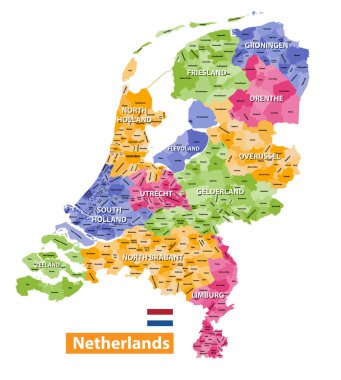
Netherlands high detailed local municipalities map colored by provinces. All elements are separated in detachable and labeled layers. Vector

Netherlands map with borders, cities, capital and administrative divisions. Infographic vector map. Editable layers clearly labeled.

Colorful Netherlands map with regions and main cities

South Holland province location within Netherlands 3d isometric map

Netherlands map with shadow effect

Netherlands Flat Icons Design Travel Concept.Vector

Netherlands map with largest cities skylines silhouettes

Netherlands Holland map flag glass water card paper 3D vector

Gray Netherlands map on light grey background. Gray Netherlands map - vector illustration.
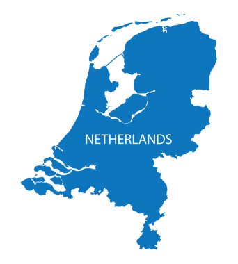
Blue map of Netherlands

Pen hand drawn Europe map vector on paper illustration

Netherlands - Highly detailed editable political map with separated layers.

High detailed Netherlands physical map with labeling.

Highly detailed editable political map with separated layers. Netherlands.

High detailed Netherlands road map with labeling.

Outline Netherlands map with regions and main cities

Map of Netherlands as an overview map in pastel green

Netherlands blueprint map template with capital city. Amsterdam marked on blueprint Dutch map. Vector illustration.

Vector set of Netherlands country. Isometric 3d map, Netherlands map, Europe map - with region, state names and city names.

Netherlands vector map. Editable template with regions, cities, red pins and blue surface on white background.

Netherlands - Isolated vector highly detailed political map with regions, provinces and capital. All elements are separated in editable layers.

Netherlands Detailed Map With States

Line art Netherlands map. continuous line europe map. vector illustration. single outline. Vector illustration

Vector detailed color Netherlands map

Colorful Netherlands political map with clearly labeled, separated layers. Vector illustration.
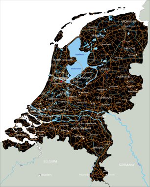
High detailed Netherlands road map with labeling.

Netherlands - detailed blue country map with cities and regions. Vector illustration.

Netherlands Map and Flag. A large group of people in the Netherlands flag color form to create the map. Vector Illustration.

High detailed Germany road map with labeling. White.

Netherlands vector color map

Netherlands Emblem Map Teams European Nations 2024 Symbol Abstract Countries European Germany Football Logo Design Vector Illustration

Europe brussels regions card map vector silhouette on White background created in Adobe Illustrator.

Vector European map combined with flags

Vector Netherlands Map card paper on blue background, high detailed

Cartoon style hand drawn travel map of Europe with pins vector illustration

Outline maps of European countries collection, black lined vector map.

Amsterdam city map
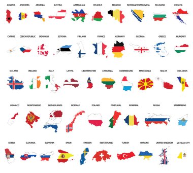
Europe country maps combinated vith flags

Netherlands vector map. Black icon on white background.

Netherlands country map polygonal with spot lights places sample
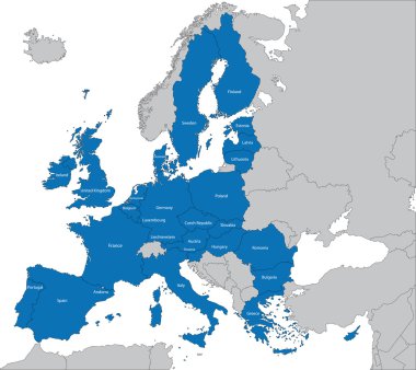
The 27 Member State of the European Union

Europe map combined with country flags. All elements separated in detachable layers. Vector

Outline Europe map with countries
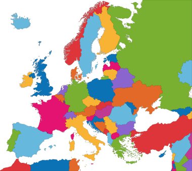
Colorful Europe map with country borders

European Union map

Europe Political Map
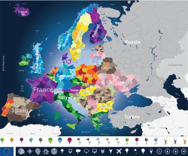
High detailed Europe map with coutries names and region borders

The European Union map and flags

Map of Europe - Highly Detailed Vector illustration

The European Union highly detailed vector map

Colorful Europe map

Europa-highly detailed map. Vector illustration
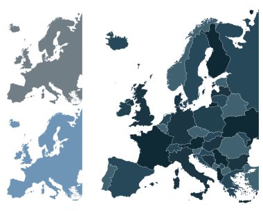
Set of Europe vector highly detailed maps

Europe - Highly Detailed Vector Map of the Europe. Ideally for the Print Posters
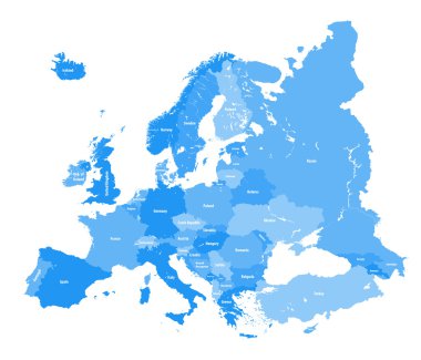
European political map. All layers detachable and labeled
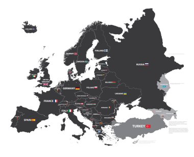
European map with country names and flags
Curacao blank detailed outline map set - vector version
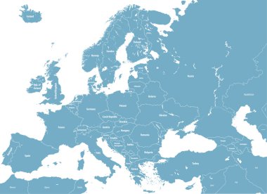
Europe high detailed political map. All elements detachable and labeled. Vector

World geographical and political map

Rotterdam (The Netherlands) and the port of Rotterdam vector map
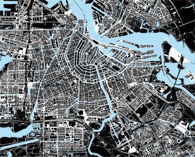
Black and white amsterdam city map
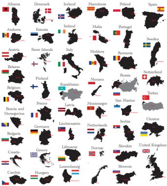
Countries of Europe
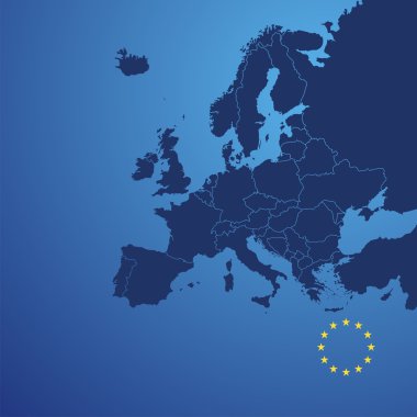
Europe map cover vector

Map of Netherlands with highways

Map of Netherlands with highways in pastel green
Vector illustration of maps of India

Vector high detailed political world map

Netherlands vector map with infographic elements, pointer marks. Editable template with regions, cities and capital Amsterdam.

Netherlands map icon, vector illustration.

Map of Netherlands - vector illustration
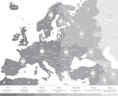
Europe time zones map in grey scales with location and clock icons. All layers detachable and labeled.Vector

European Union map with stars of the European Union

Netherlands map and flag, administrative division, separates regions and names individual region, design glass card 3D vector

Urban vector city map of Rotterdam, The Netherlands

Detailed city map of Amsterdam

Green European Union map