
Nigeria blank detailed vector blank detailed outline map set
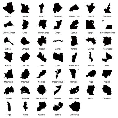
Layered editable vector illustration silhouette country map of 47 African countries.
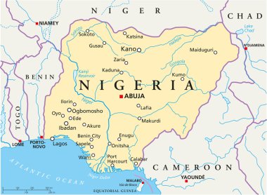
Political map of Nigeria with capital Abuja, national borders, most important cities, rivers and lakes. Vector illustration with English labeling and scaling.
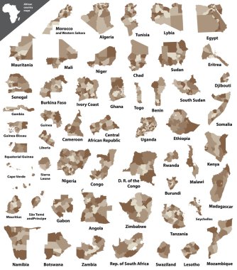
African vector isolated country maps

Nigeria Map, states border map Vector

Nigeria Map mosaic of spheric dots in variable sizes. Randomized round blots are composed into Nigeria Map collage. Vector geographical map vector illustration.

Imo State (Subdivisions of Nigeria, Federated state of Nigeria) map vector illustration, scribble sketch Imo map
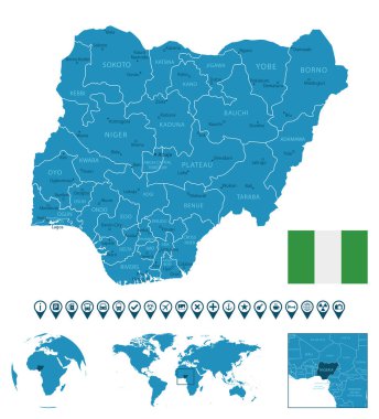
Nigeria - detailed blue country map with cities, regions, location on world map and globe. Infographic icons. Vector illustration

Nigeria map, black and white detailed outline regions of the country. Vector illustration

A large and detailed map of Nigeria with all local government areas and cities.

Nigeria map with borders, cities, capital and administrative divisions. Infographic vector map. Editable layers clearly labeled.

Grey map of Nigeria
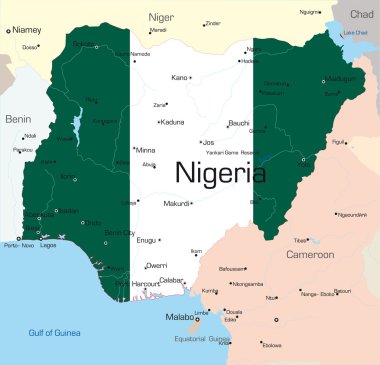
Abstract vector color map of Nigeria country colored by national flag

Dot Nigeria map. Vector territorial plan in dark gray color. Points have rhombus form.

Vector administrative and political map of the Federal Republic of Nigeria

Nigeria - vintage map and flag - High Detailed Vector Illustration

Africa contoured map with highlighted Nigeria. Nigeria map and flag on Africa map. Vector Illustration.

Flag of Nigeria with old texture. Vector illustration

A large and detailed map of all provinces of Nigeria.

Blue-gray detailed map of Nigeria administrative divisions and location on the globe. Vector illustration

Highlighted Nigeria on Global Map with 3D Flag Location Pin of Nigeria.

Africa map. High detailed political map of african continent with country, capital, ocean and sea names labeling.

Nigeria vector map with country name, black on white background.

African country set with map pointers
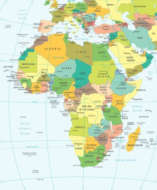
Africa map - highly detailed vector illustration.

Multicolored political map of Africa continent with national borders and country name labels on white background. Vector illustration.

Africa silhouette vector map. Black and white version usable for travel marketing, real estate and education.
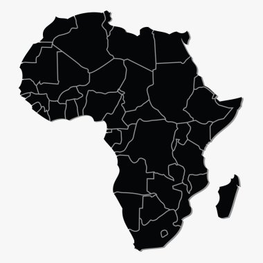
Vector map of Africa

Simple flat black map of Africa continent with national borders isolated on white background. Vector illustration.
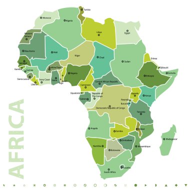
Vector map of Africa

Lagos map, satellite view, city, Nigeria. Streets and house on a white background

Flag of Nigeria with old texture. Vector illustration

Flag of Nigeria with old texture. Vector illustration

Africa map, vector

Africa contoured map with highlighted Senegal. Senegal map and flag on Africa map. Vector Illustration.

Africa-highly detailed map. Vector illustration

Africa contoured map with highlighted Niger. Niger map and flag on Africa map. Vector Illustration.

Africa contoured map with highlighted Gabon. Gabon map and flag on Africa map. Vector Illustration.

Africa - vector map

Africa contoured map with highlighted Ivory Coast. Ivory Coast map and flag on Africa map. Vector Illustration.

Africa contoured map with highlighted Sierra Leone. Sierra Leone map and flag on Africa map. Vector Illustration.

Africa contoured map with highlighted Guinea. Guinea map and flag on Africa map. Vector Illustration.

Nigeria map and flag - High Detailed Vector Illustration

Nigeria Map - High Detailed Vector Illustration

Africa contoured map with highlighted Benin. Benin map and flag on Africa map. Vector Illustration.

North Africa Map - Detailed Vector Illustration

Africa contoured map with highlighted Cameroon. Cameroon map and flag on Africa map. Vector Illustration.

Nigeria Map -Vintage High Detailed Vector Illustration

Grey Africa Map Modern design Vector Illustration

Flag of Nigeria with old texture. Vector illustration

Africa contoured map with highlighted Mauritania. Mauritania map and flag on Africa map. Vector Illustration.

Africa contoured map with highlighted Libya. Libya map and flag on Africa map. Vector Illustration.

Africa contoured map with highlighted Chad. Chad map and flag on Africa map. Vector Illustration.

Africa Map. Flat Icon. Vector illustration grey symbol on white background with gold ribbon

Nigeria provinces Map grey

Africa map vector illustration art

Flags in the form of states with shadows

Africa map in origami style

Flag of Nigeria with old texture. Vector illustration

Nigeria map with flag inside and ribbon

Nigeria Map. Large group of people form to create a shape of Nigeria Map. vector illustration.

Nigeria - white 3D silhouette map of country area with dropped shadow on green background. Simple flat vector illustration.

Nigeria map with shadow effect

Vintage discover the world rubber stamp with Nigeria map. Hipster style nautical postage stamp, with round rope border. Vector illustration.

Nigeria country black outline silhouettes in three different levels of smoothness. Simplified maps. Vector icons isolated on white background.

Nigeria Map Pin with National Flag on Open World Map.

Ghana Vs Nigeria Flags African football Vector Design African Countries Football Teams Illustration

Nigeria Location Highlighted on African Map with Flag Icon.

Nigeria country thick black outline silhouette. Simplified map. Vector icon isolated on white background.

Nigeria - detailed map with administrative divisions country. Vector illustration

Isometric Map of Nigeria. Simple 3D Map. Vector Illustration - EPS 10 Vector

Nigeria map vector illustration, Nigeria map silhouette, Nigeria country Landscape, Black and white Nigeria map

Wave line flag of Nigeria

Vector illustration of map of Nigeria
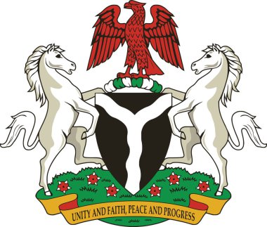
Official current vector coat of arms of the Federal Republic of Nigeria
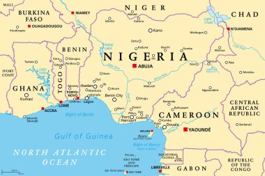
Nigeria and West Africa countries on the Gulf of Guinea, political map. Ghana, Togo, Benin, Nigeria, Cameroon, Equatorial Guinea, and Sao Tome And Principe, with borders, capitals and largest cities.
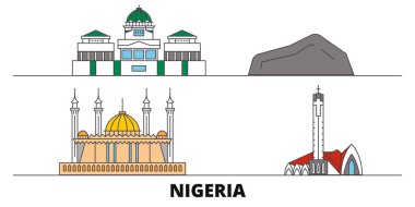
Nigeria flat landmarks vector illustration. Nigeria line city with famous travel sights, design skyline.

Love Nigeria, heart emblem in national flag colored. Flag of Nigeria with heart shape for Nigerian Independence Day isolated on white background. Vector illustration
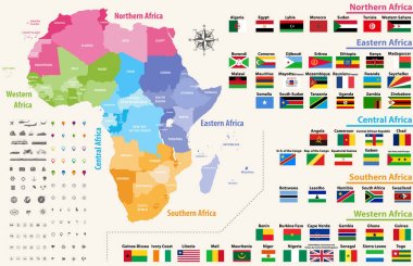
Vector map of Africa continent colored by regions. All flags of African countries arranged in alphabetical order and singled out by regions

Nigeria map and flag, vector map icon with highlighted Nigeria

Leaf flags of Africa in tree design. Vector illustration.

Grunge rubber stamp with the name and map of Nigeria, vector illustration

Africa with highlighted Nigeria map and flag
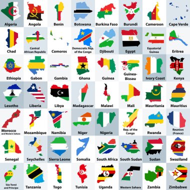
All African countries maps mixed with their national flags and arranged in alphabetical order

West Africa region, political map. Area with capitals and borders. The westernmost countries on the African continent, also called Western Africa. English labeling. Illustration. Vector.

Detailed map of the African continent, Cards African flags and icons

Map of the regions of Africa. Map of Africa

Africa map - highly detailed vector illustration.

Africa Map - Vintage Detailed Vector Illustration

Vector illustration EPS10. Map of Africa and flags of African countries. The url of the reference to map is: http://www.lib.utexas.edu/maps/africa/africa_pol_2012.pdf

Map of African continent with borders. Two-color vector illustration.

A High Detail vector Map of the African continent with a classic color set. All countries are named with the respective english name

North Africa Map - Detailed Vector Illustration

Vector illustration of Africa black outline map with countries. Vector Africa map.

Africa Map - Detailed Vector Illustration

Nigeria hand-drawn map. Colourful sketchy country outline. Trending Nigeria map with provinces. Vector illustration.
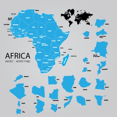
Map of Africa. Vector

Location Edo State on map Nigeria. 3d Edo location sign. Flag of Nigeria. Quality map with States of Nigeria for your web site design, logo, app, UI. Stock vector. EPS10.
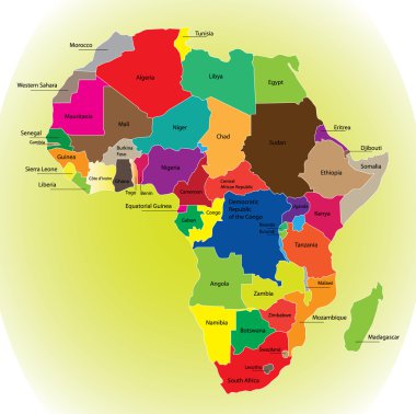
Detail color map of African continent with borders. Each state is colored to the various color and has wrote the name.

Nigeria map and flag - High Detailed Vector Illustration