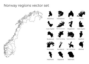
Norway map with shapes of regions. Blank vector map of the Country with regions. Borders of the country for your infographic. Vector illustration.

Map and flag of Norway
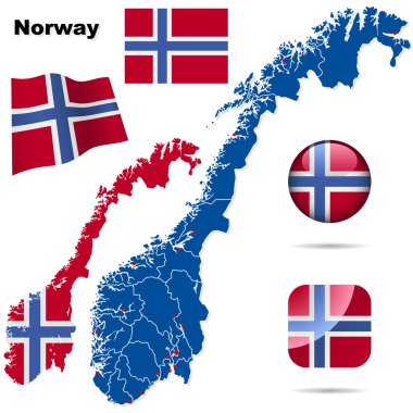
Norway vector set. Detailed country shape with region borders, flags and icons isolated on white background.
Norway in grey

Vector map - Norway

Shape of Norway filled with black color on white background.

Map of administrative divisions of Norway with the capital cities

Kingdom of Norway vector map.

Norway - detailed map with administrative divisions country. Vector illustration

Map of norway logo vector illustration simple design
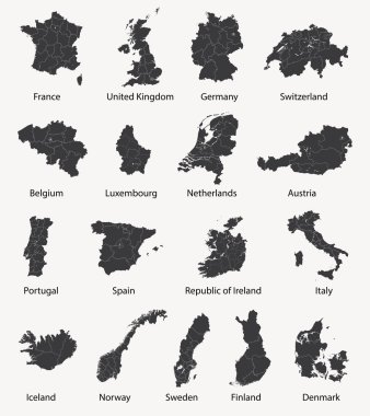
Vector set of european maps with region borders

Norway map line, linear thin vector simple and flag. Black on white background

Norway world map with a pixel diamond texture. World geography.

Norway map and flag - highly detailed vector illustration

Norway - detailed country outline and location on world map. Vector illustration

Vector network Norway map. Map of the country with low poly background. Rounded Norway illustration in technology, internet, network, telecommunication concept style . Cool vector illustration.

World map with magnifying on Norway. Blue earth globe with Norway flag pin. Zoom on Norway map. Vector Illustration

Vector illustration of detailed map of Norway and Svalbard island cut out of craft paper or cardboard
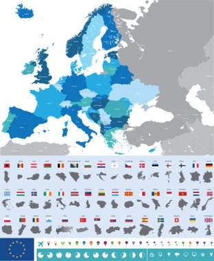
Vector high detailed map of Europe with flags

Stylized map of Norway. Travel illustration with norwegian landmarks, architecture, national flag and other symbols in flat style. Vector illustration

Cartoon Norway vector map. Travel Scandinavia concept. Nordic culture elements and landmarks set. Lighthouse, flora and fauna, church, skiing, scandinavian house. Hand drawn doodle style illustration.

Norway Map Vector Illustration
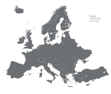
Vector high detailed map of Europe

Kingdom of Norway isolated map and official flag icons. vector Norwegian political maps icon. Scandinavian Country geographic banner template. travel and business concept maps

Set of vector polygonal Norway maps. Bright gradient map of country in low poly style. Multicolored Norway map in geometric style for your infographics.
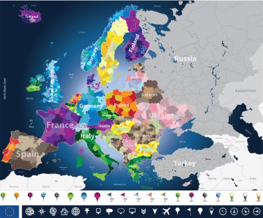
High detailed Europe map with coutries names and region borders

Scandinavia maps

Eurasia Europa Russia China India Indonesia Thailand Africa Map - Detailed Vector Illustration
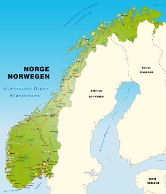
Map of Norway with highways

Scandinavia borders map, scandinavia low poly map vector, Denmark, Norway, Sweden and Finland

European country set with map pointers

Map of administrative divisions of Norway

Norway - highly detailed blue map. Vector illustration

North europe - vector maps of territories

Europe Physical Map. Detailed vector illustration of Europe Physical Map.

3d map of Norway with borders of regions

Europe map and flags
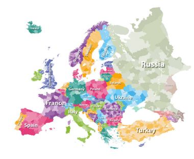
Colored political map of Europe with countries' regions. Vector illustration

Cartoon Norway vector map. Travel Scandinavia concept. Nordic culture elements and landmarks set. Lighthouse, flora and fauna, church, skiing, scandinavian house. Hand drawn doodle style illustration.

High detailed colored political map of Europe with countries' regions. Vector

Europe with highlighted Norway map and flag

Europe map illustration

Vector European map combined with flags

Norway high detailed map. Country silhouette icon. Isolated Norway black map outline. Vector illustration.

Map of Europe in gray on a white background
High detailed silhouette of Europe map
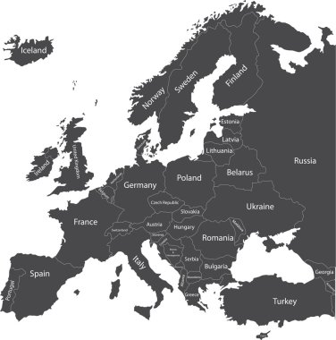
Europe political map with country names

Norwegian low poly regions. Polygonal map of Norway with regions. Geometric maps for your design. Modern vector illustration.
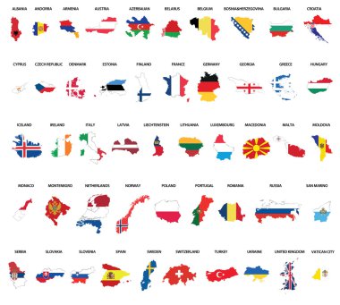
Europe country maps combinated vith flags
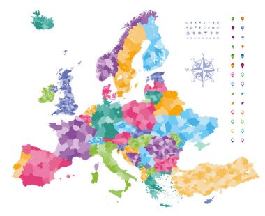
Europe map colored by countries with regions borders. Navigation, location and travel icons collection.
Map of Europe, with countries. 3D
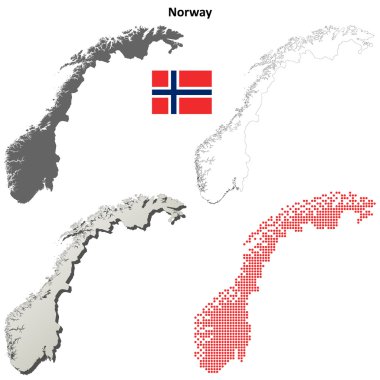
Norway blank detailed outline map set

Europe map combined with country flags. All elements separated in detachable layers. Vector
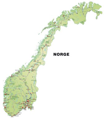
Map of Norway with highways in pastel green

Vector set of Norway country. Isometric 3d map, Norway map, Europe map - with region, state names and city names.

Low Poly map of Norway. Dots and lines stylized in triangle illustration
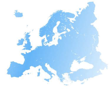
High detailed Europe map.

Map of Europe colored by countries with regions borders. Flags of all european countries. Navigation, location and travel icons. All elements separated in labeled and detached layers. Vector

Norway map with borders, cities, capital and administrative divisions. Infographic vector map. Editable layers clearly labeled.

Europe map colored by countries with regions borders. Navigation, location and travel icons collection. All elements separated in labeled and detachable layers. Vector
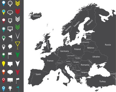
Europe map

Norway vector map with flag

Norway map flag glass card paper 3D vector

Vector hexagon map of Norway . Business space in the country
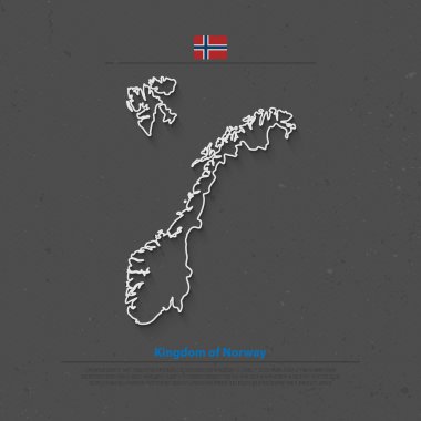
Kingdom of Norway isolated map and official flag icons. vector Norwegian political map thin line icon. Scandinavian Country geographic banner template. travel and business concept maps

Vector map and flag of Norway

Infographic for Norway, detailed map of Norway with flag. Vector Info graphic green map.

Detailed illustration of a map of Norway with flag, eps10 vector

Blue-green detailed map of Norway administrative divisions with country flag and location on the globe. Vector illustration

Norway map and flag - highly detailed vector illustration

Norway Map - Vintage Detailed Vector Illustration

All Europe countries maps mixed with flags
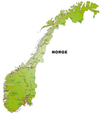
Map of Norway with highways and main cities

European country set with map pointers
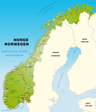
Map of Norway with higghways

Monochrome vector Norway map

European country set with map pointers

Vintage stamp with world Norway written inside and map of Norway, vector illustration

Vector abstract hatched map of Norway with vertical lines isolated on a white background. Travel vector illustration.

All European countries maps with flags
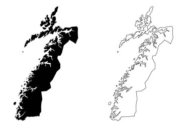
Nordland (Administrative divisions of Norway, Kingdom of Norway) map vector illustration, scribble sketch Nordland fylke map

Zoom on Norway Map and Flag. World Map

Simple set of panama map, uruguay map, norway map, turkey map icons, contains such as icons czech eepublic finland syria paraguay map and more. 64x64 pixel perfect. editable vector set

Map of Norway
Vintage passport welcome stamp with Norway map. Grunge rubber stamp with Welcome to Norway text, vector illustration.

Map of Norway

Isometric Map of Norway. Simple 3D Map. Vector Illustration - EPS 10 Vector

Norway flag and map set. norway flag in official colors and proportions., map

Norway country black outline silhouettes in three different levels of smoothness. Simplified maps. Vector icons isolated on white background.

Norway National Flag and Country Map in Flat Style Featuring European Travel and Geography Symbol

Norway Highlighted on Europe Map with Flag Icon.

Norway Map Pin with National Flag on Open World Map.

Norway flag and map set. norway flag in official colors and proportions. independence day 17 may , map, circle and heart shaped norway

Flag of norway. Flag icon. Standard colors. Standard size. Rectangular flag.

Detailed map of Europe
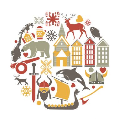
Norway sightseeing landmarks and famous vector travel attractions poster. Vector icons of Norwegian map and flag, architecture, reindeer or polar bear and Viking boat, snow pattern and fish

High detailed Norway road map with labeling.

3D Norway Map Flag Vector illustration Eps 10.
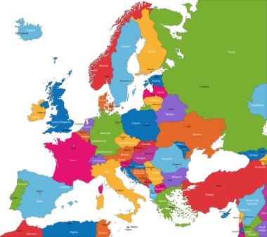
Colorful Europe map with countries and capital cities

Vintage europe map with countries inscription uk, ireland, norway, sweden, finland, germany, france, spain, italy, poland, czech austria switzerland netherlands belgium drawing on dirty paper