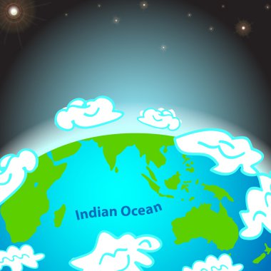
Illustration of Indian ocean on Earth
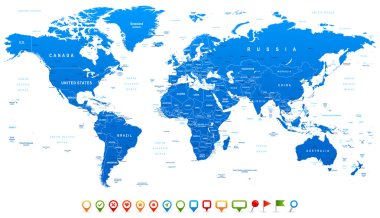
Highly detailed world map: countries, cities, water objects
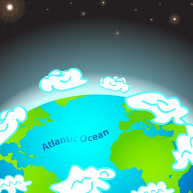
Illustration of Atlantic ocean on Earth

Old world map flat vector illustration. Ancient parchment with countries and oceans names. Vintage document with continents, ships and wind rose drawings. Worldwide geography exploration

Set of vector globe icons showing earth with all continents. Vector illustration.
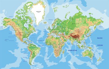
Highly detailed World map with labeling. Vector illustration.
Yacht sailing on sea. Vector illusatration
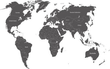
World political map with country names
Illustration of Pacific ocean on Earth
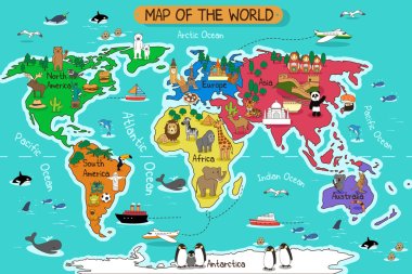
A vector illustration of map of the world
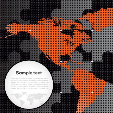
Vector picture with puzzles and map

Vintage World Map and Markers - Detailed Vector Illustration

Earth background vector illustration

World map with colored countries
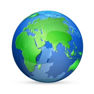
Earth icon, vector design

Vector illustration of World map and navigation icons
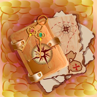
Treasure map with keys. Vector illustration.

Detailed Vintage Cartoon World Map - vector illustration

Earth icon, vector illustration
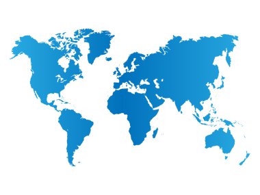
World map on white background
Earth icon, vector illustration
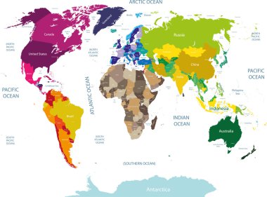
High detailed colored world map with country names
Vector set of sea emblems

Doodle town. Map drawn by hand. Vector. Isolated.

Colored background with different accessories
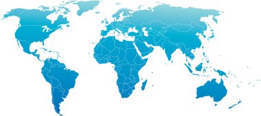
Vector illustration of world map, blue continents isolated on white

Colored background with different accessories

Vector color map of Indian ocean region

Colored background with different accessories

Ocean County (New Jersey) blank outline map

Colored background with different accessories

Vector Pixelated Topographic World Map Miller projection
Earth planet with clouds - vector illustration
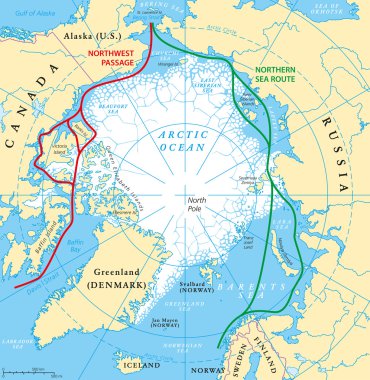
Arctic Ocean sea routes map with Northwest Passage and Northern Sea Route. Arctic Region map with countries, national borders, rivers, lakes and average minimum extent of sea ice. English labeling.

Vector set of sea emblems

Southern Hemisphere detailed illustration

Vector airplane flight paths over earth globe

Blue World map with color points

Vector airplane flight paths over earth globe

Arctic Ocean map with North Pole and Arctic Circle. Arctic region map with countries, national borders, rivers and lakes. Map without sea ice. English labeling and scaling.
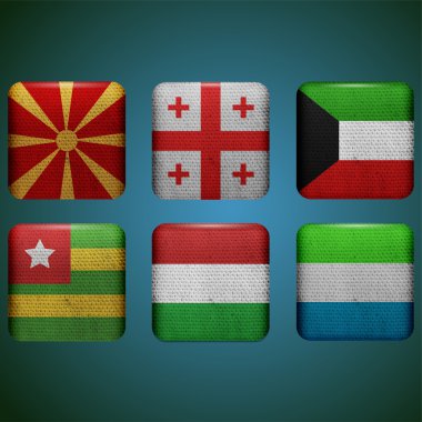
Vector flags set vector illustration
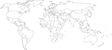
Vector illustration of world map, white color with black outline, isolated
Stylized vector globe. Illustration
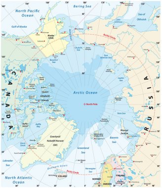
Map of the Arctic with the least and largest extent of the ice cap 2018

Indian Ocean political map with countries and borders. English labeling. Bounded by Asia, Africa, Australia and Antarctica. Named after the country India. Gray illustration on white background. Vector

Political Physical Topographic Colored World Map Vector illustration
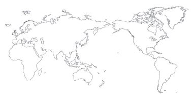
World Map Outline Contour Silhouette - Asia in Center

North and South America outline world map, vector illustration isolated on white. Map of North and South America continent, line silhouette concept

Vintage World Map and Markers - Detailed Vector Illustration
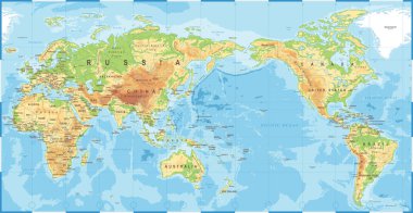
Political Physical Topographic Colored World Map Pacific Centered- vector

Vintage Political World Map Pacific Centered - vector

World Map Outline Contour Silhouette - Asia in Center - vector

Vintage worldmap with inscription greenland, north america, south america, africa, europe, asia, australia, russia drawing on craft background
Vector abstract dotted globe, Central heating view on Atlantic ocean region

Abstract world map on night sky. EPS 10, contains transparency
Map of world

Oceanographical map of World with labels of oceans, seas, gulfs, bays and straits. Vector map with green lands and white water.

World map. world map concept.
World map background with pionts

Illustration of a symbolized printed earth and treasure map icon with countries, river, legends, and grunge texture on paper sheet

Funny cartoon world map with childrens of different nationalities, animals and monuments of all the continents and oceans. Names in spanish. Vector illustration for preschool education and kids design.

Sea background, blurred landscape, interface template. Corporate website design. Badge label over Lighthouse and a seagull on a deserted beach. Vector. Editable. Unfocused. Ocean, map.

Pirate accessories symbols flat icons collection with wooden treasure chest and jolly roger flag abstract vector illustration. Pirate symbols anchor treasure set and pirate symbols parrot treasure map

Madagascar political map with capital Antananarivo. Republic and island country in the Indian Ocean. Former Malagasy Republic. Gray illustration isolated on white background. English labeling. Vector.

Wallpaper, globe backgroud series_1
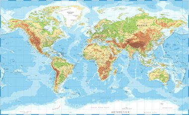
World Map Physical Topographic - Vector Detailed Illustration

World map polygon on dark background. Vector illustration.

Political world map isolated on white background, vector illustration.
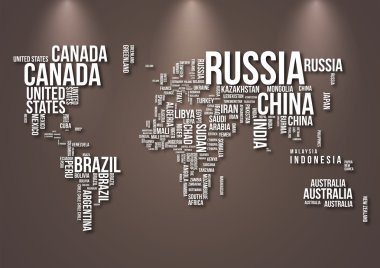
Detailed World Map with all Names of Countries
Map of world
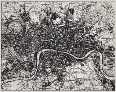
Historical map of London, England.
Dots Grey World Map. Modern vector Illustration

World Map - Pacific View - Asia China Center - Political Topographic - Layers - Vector Detailed

Watercolor world map in vector format in pink and blue colors on a background of crumpled paper

Vector map of the world with cartoon animals for kids. Europe, Asia, South America, North America, Australia, Africa. Lion, crocodile, kangaroo. koala, whale, bear, elephant, shark, toucan, parrot
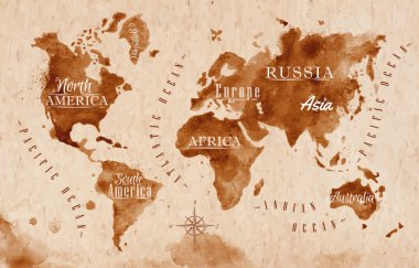
World map in old style in vector format, brown graphics in a retro style

The design of the world map composed of a straight line
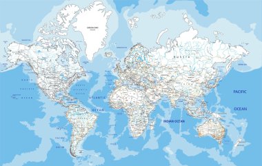
Highly detailed World road map with labeling. Vector illustration.

World Map isolated on retro white color background with labeling. Vector illustration.

Illustrated map of the state of Alaska in United States with cities and landmarks. Editable vector illustration

Map of treasure island in the shape of skull and bones. Use the X in the lower right corner to mark the place of the treasure.

Physical World Map Retro Colors with labeling. Vector illustration.
World Map Illustration

World maps , grey gradient and made from dotts

Earth, globe icon. Vector. World map isolated on white background.

Molucca Sea on the world map. Vector illustration.

World Map Color Political - Vector Detailed Illustration

World Map Vintage Political - Vector Illustration

World Map. Stock Vector Illustration

Blue circles world map background

Stylized map of Sweden. Cartoon map with travel illustration. Famous landmarks, buildings, food and plants. Funny tourist infographics. National symbols. attractions. Vector illustration.
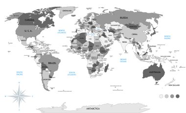
Political world map on white background, with every state labeled and selectable (labeled in Layers panel also). Versatile file, turn on an off visibility and color of each country in one click.
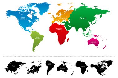
Vector World map with colorful continents Atlas - EPS

Coastline aerial view vector illustration.
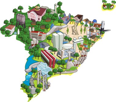
Map of Brazil with all capitals. Cities of Brazil.
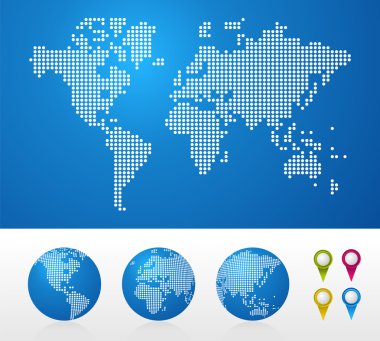
Dot World maps and globes business background. Vector file available.

Vector banner with sign of compass wind rose in retro style. Illustration on the theme of travel, adventure and discovery on the background of old map

Animal world. Funny cartoon character. Vector illustration

Isometric 3d of USA wildlife. Animals, birds and plants constructor elements isolated on white set. Build your own geography infographics collection. Vector illustration
World map made out of stars of different sizes, all continents and ocean has layers, to easy edit