Earth planet with clouds - vector illustration
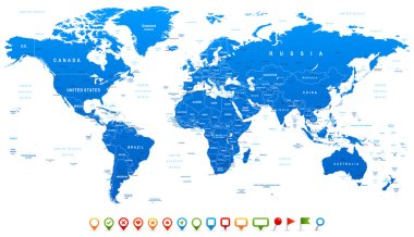
Highly detailed world map: countries, cities, water objects

Set of vector globe icons showing earth with all continents. Vector illustration.
World map on white background
Earth icon, vector design
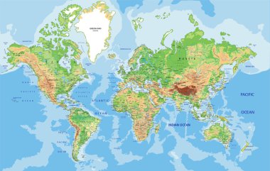
Highly detailed World map with labeling. Vector illustration.
Earth icon, vector illustration
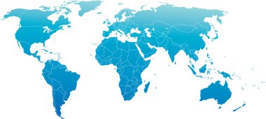
Vector illustration of world map, blue continents isolated on white
Stylized vector globe. Illustration

Abstract world map on night sky. EPS 10, contains transparency
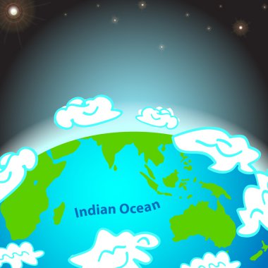
Illustration of Indian ocean on Earth
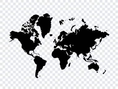
Map of world
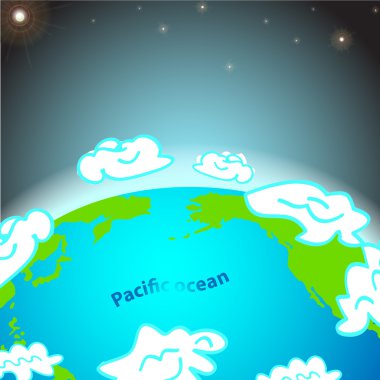
Illustration of Pacific ocean on Earth
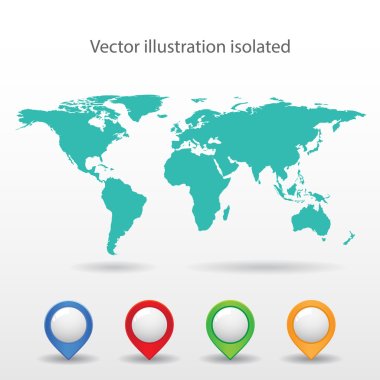
World map background with pionts
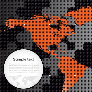
Vector picture with puzzles and map
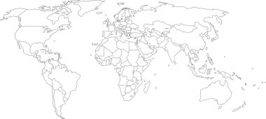
Vector illustration of world map, white color with black outline, isolated

Earth background vector illustration
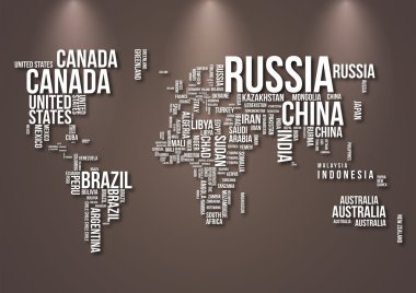
Detailed World Map with all Names of Countries

Earth icon, vector illustration
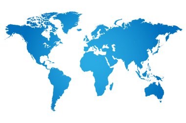
World Map Illustration

Colored background with different accessories

Vector map of the world with cartoon animals for kids. Europe, Asia, South America, North America, Australia, Africa. Lion, crocodile, kangaroo. koala, whale, bear, elephant, shark, toucan, parrot
Colored background with different accessories
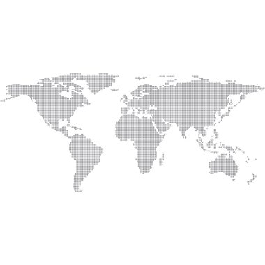
Dots Grey World Map. Modern vector Illustration

Colored background with different accessories

Watercolor world map in vector format in pink and blue colors on a background of crumpled paper
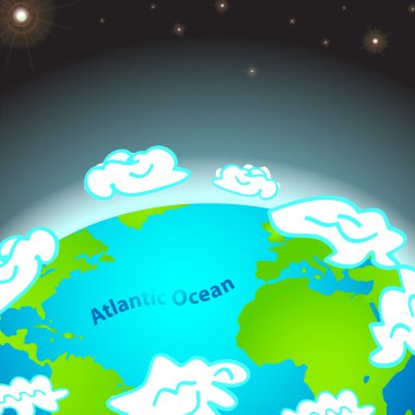
Illustration of Atlantic ocean on Earth

Blue World map with color points

Colored background with different accessories
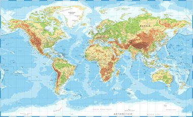
World Map Physical Topographic - Vector Detailed Illustration
Vector flags set vector illustration
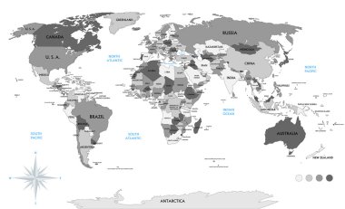
Political world map on white background, with every state labeled and selectable (labeled in Layers panel also). Versatile file, turn on an off visibility and color of each country in one click.
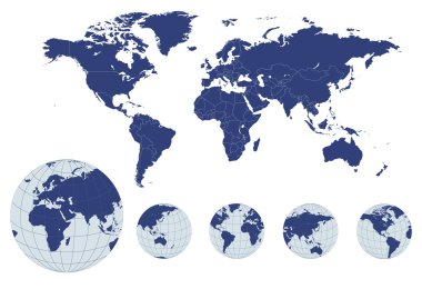
World map with earth globes, editable vector.
Wallpaper, globe backgroud series_1

Old world map flat vector illustration. Ancient parchment with countries and oceans names. Vintage document with continents, ships and wind rose drawings. Worldwide geography exploration

Political world map isolated on white background, vector illustration.

Funny cartoon world map with childrens of different nationalities, animals and monuments of all the continents and oceans. Names in spanish. Vector illustration for preschool education and kids design.

Abstract world map on night sky. EPS 10, contains transparency

Highly detailed World map. Vector illustration.
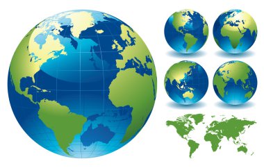
Editable vector illustration of world globe maps
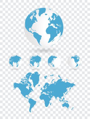
Map of world

Grey vector world map with borders of all countries
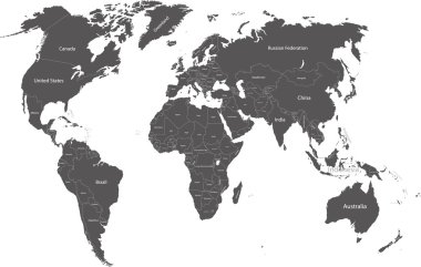
World political map with country names

The design of the world map composed of a straight line

Blue world map on a white background
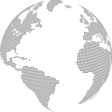
Vector illustration of world globe with square dots
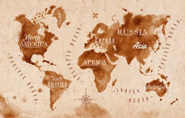
World map in old style in vector format, brown graphics in a retro style

World Map. Stock Vector Illustration

3D earth graphic symbolizing global trade, vector illustration.

World Map Vintage Political - Vector Illustration
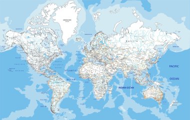
Highly detailed World road map with labeling. Vector illustration.
Isolated black and white map of the word that is editable

Modern Globe Map in Black Color Isolated on White Background. Vector Illustration
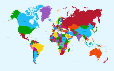
World map, colorful countries with text Atlas illustration. EPS10 vector file organized in layers for easy editing

Physical World Map Retro Colors with labeling. Vector illustration.
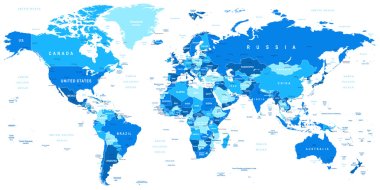
Highly detailed vector illustration of world map.

Set of vector globe icons showing earth with all continents

World Map and Flags - borders, countries and cities - vintage vector illustration
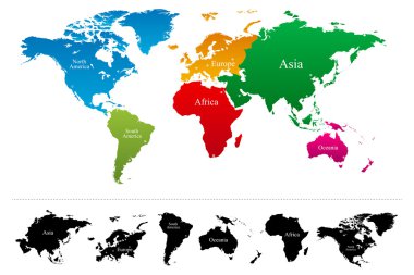
Vector World map with colorful continents Atlas - EPS

Animals world map. Beautiful cheerful colorful vector illustration for children and kids. With the inscription of the oceans and continents. Preschool, baby, continents, oceans, drawn, Earth
Vector world map isolated on chess back
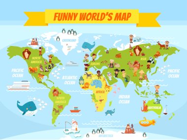
Funny cartoon world map with people of various nationalities and animals. Vector illustration for preschool education and kids design

Grey world map vector illustration flat design

High detail vector Black map of the world with political boundaries.

World political map outline. Detailed map of the world with shorelines and national borders under the Robinson projection. Blue illustration on white background.
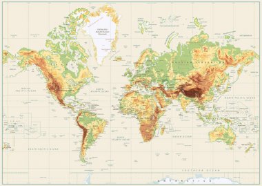
Detailed Physical World Map Isolated on Retro White Color. Vector illustration.

Great Detail Illustration of the world map in vintage style with all countries boundaries and names on a old parchment background.
World map background with pionts

Earth night map. Vector illustration of cities lights from space. Dark map

Abstract Night World Map

World Map Dotted - Vector EPS10

Colorful World political map with clearly labeled, separated layers. Vector illustration.

Vector world map with countries borders

Grey blank vector world map

World map on white background

World map

World map in grey on a white background

Group of making a earth planet shape

Detailed grey world map, mapped on an open globe, isolated on white background

Detailed Vintage Cartoon World Map - vector illustration
Illustrated earth globe in realistic land and ocean colours

Political world map, grey, with white borders. Every state and continent labeled and selectable. Versatile file, turn on an off visibility and color of each country in one click.

World map background with pionts
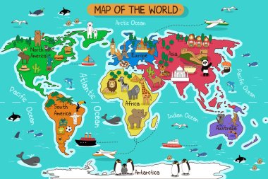
A vector illustration of map of the world
Planet earth hand writing cartoon. ( credit : nasa)

World Map and Flags - borders, countries and cities - vintage vector illustration
World map made out of stars of different sizes, all continents and ocean has layers, to easy edit

World Map and Flags - borders, countries and cities - vintage vector illustration

World map on white background. World map template with continents, North and South America, Europe and Asia, Africa and Australia. Vector illustration

World maps with different specification. 1 - highly detailed: countries, cities, water objects 2 - country contours 3 - world contours

World Map and Flags - borders, countries and cities -vector illustration
Blue Eco World Map Design Concept with Bokeh Effect - Abstract Illustration in Editable Vector Format
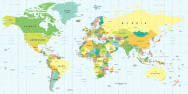
World Map - highly detailed vector illustration.

Blue World map with color points

World Map Outline Illustration

World Map Vector Illustration

World map vector illustration

Highly detailed map of the world with countries, big cities and other labels,updated with South Sudan,Kosovo and North Macedonia

Vector world map. Colorful world map with countries borders. Detailed map for business, travel, medicine and education

World map made up of the names of countries